Road Stream Crossing Site PM_M162
Pere Marquette River Watershed, Pere Marquette River
Pere Marquette Hwy
Pere Marquette Twp,
Mason County
Information collected by:
Site Location
GPS Coordinates: 43.9280528421241
, -86.4175839722157
T18N
R18W
Sec 25
Owned by Private
State
State
Total Erosion: 0.3939 tons/year
Severity: Minor
Year Inventoried: 2014
Inlet
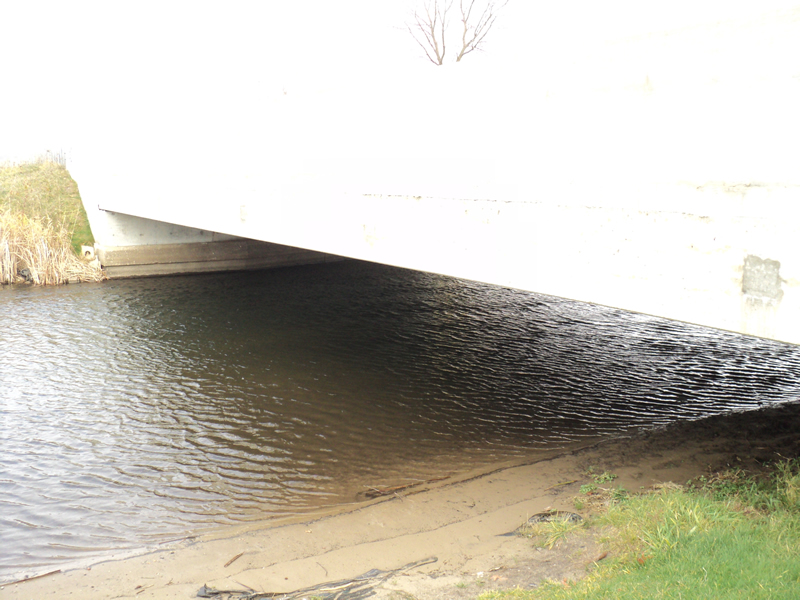
Outlet
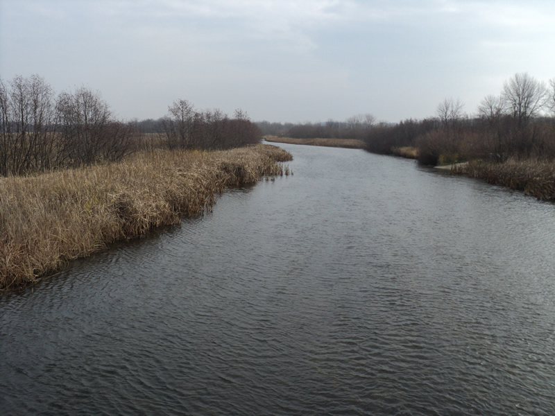
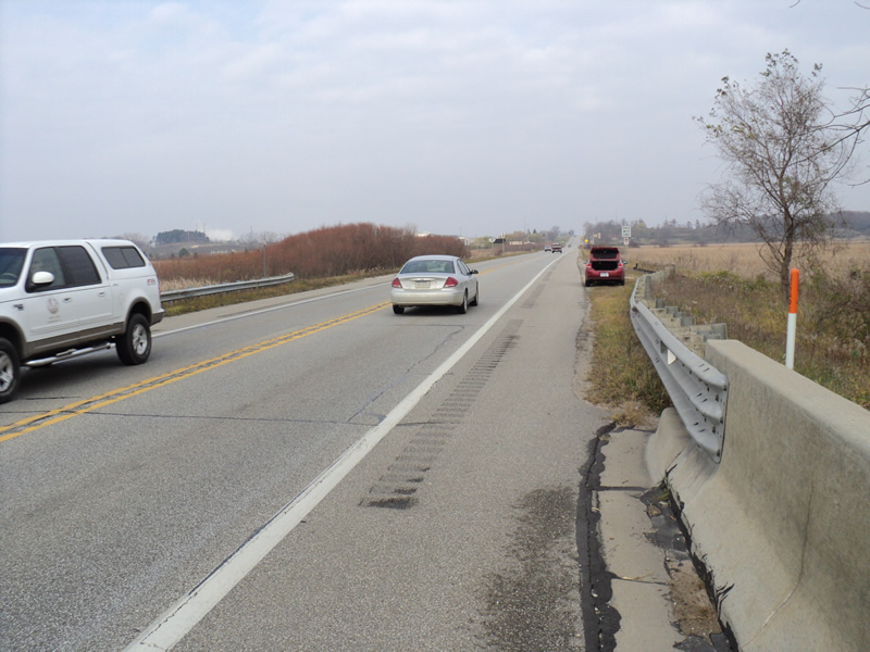
Upstream Conditions
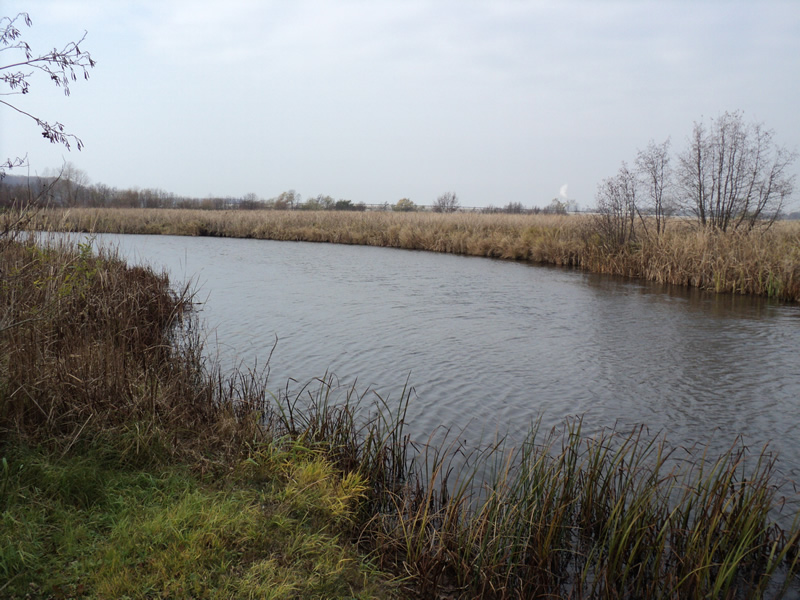
Downstream Conditions
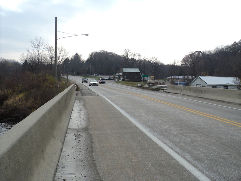
Road Approach - Left
Road Approach - Right
Crossing Information
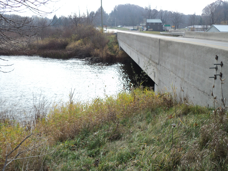
Type of Crossing: Bridge
Structure Shape: Open Bottom Square/Rectangle
Inlet Type: Headwall
Outlet Type: At Stream Grade
Structure Material: Concrete
Structure Substrate: Mixture
General Conditions: Good
Structure Interior: smooth
Dimensions of Structure: Length 45 ft.
, Width 75 ft.
Additional Comments
Did not measure river depths or flow.
Stream Information
Stream Flow: Less than Bankfull
Dominant Substrate: Organics
Road Information
Paved
County Road
Road Condition: Good
Road Width at Culvert: 37 ft.
Location of Low Point: Other
Runoff Path: Roadway
Slope: Vertical
Slope: Vertical
Approaches
Left Approach
Length: 600 ft.
Slope: 1% to 5%
Vegetation: Heavy
LS Factor: 0.52
Erosion: 0.3816 tons/year
Right Approach
Length: 200 ft.
Slope: Less Than 1%
Vegetation: Heavy
LS Factor: 0.05
Erosion: 0.0122 tons/year
Erosion Information
Total Erosion at Crossing: 0.3939 tons/year
Extent of Erosion: Minor
Summary Information
Fish Passage is an area of concern for this site.
�