Road Stream Crossing Site PM_M163
Pere Marquette River Watershed, Pere Marquette River
Pere Marquette Hwy
Pere Marquette Twp,
Mason County
Information collected by:
Site Location
GPS Coordinates: 43.9324817150309
, -86.4172319322824
T18N
R18W
Sec 25
Owned by State
Total Erosion: 0.0251 tons/year
Severity: Minor
Year Inventoried: 2014
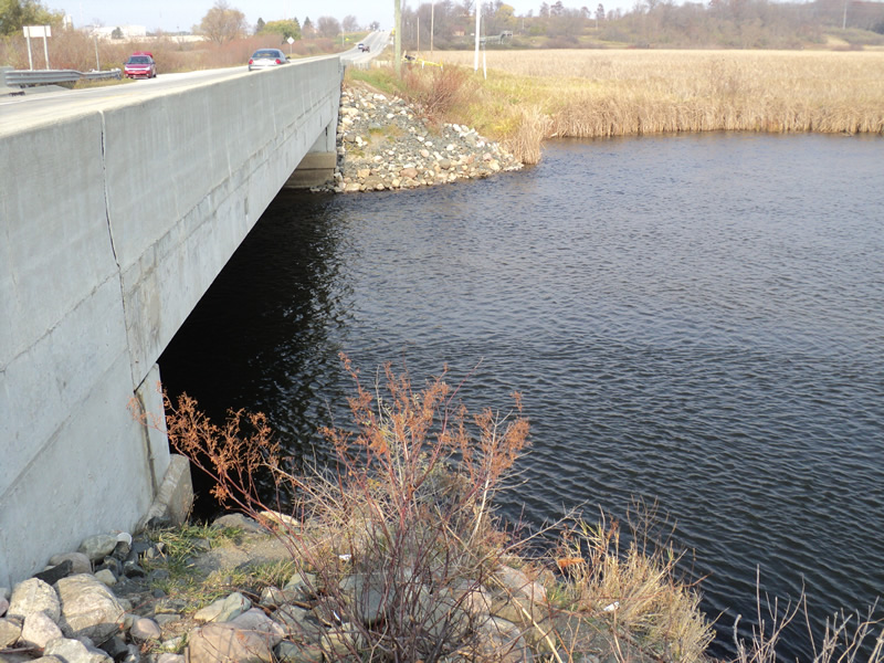
Inlet
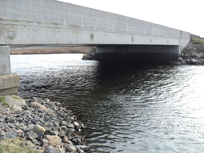
Outlet
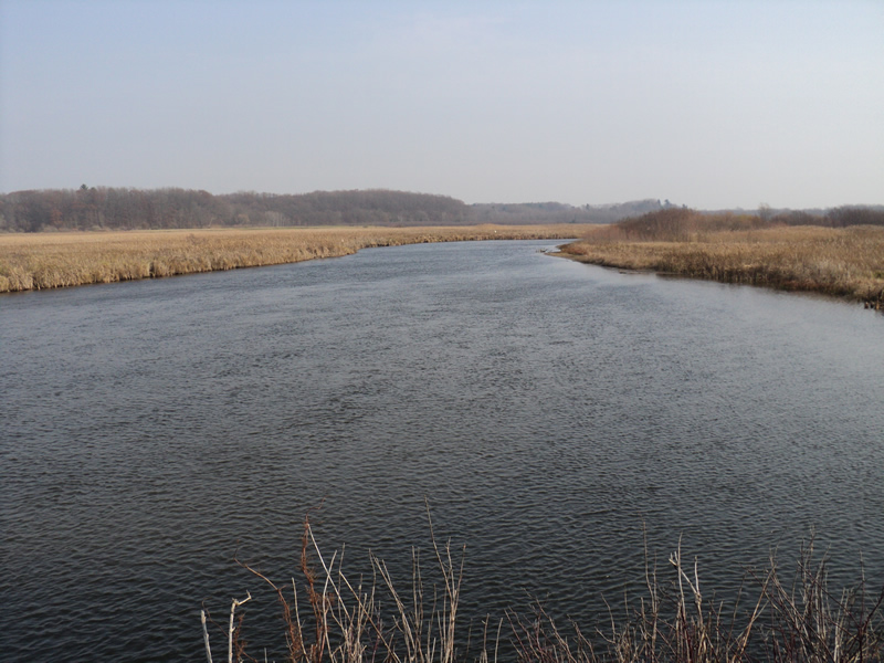
Upstream Conditions
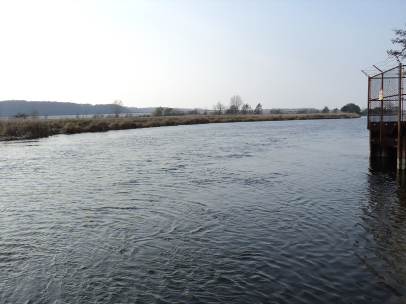
Downstream Conditions
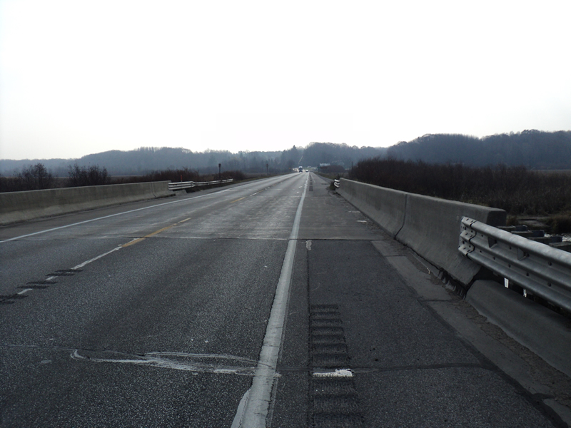
Road Approach - Left
Road Approach - Right
Crossing Information
Type of Crossing: Bridge
Structure Shape: Open Bottom Square/Rectangle
Inlet Type: Headwall
Outlet Type: At Stream Grade
Structure Material: Concrete
Structure Substrate: Rock
General Conditions: Good
Structure Interior: smooth
Dimensions of Structure: Length 45 ft.
, Width 78 ft.
, Height 10 ft.
Stream Information
Stream Flow: Less than Bankfull
Dominant Substrate: Organics
Road Information
Paved
County Road
Road Condition: Good
Road Width at Culvert: 38 ft.
Location of Low Point: At Stream
Runoff Path: Ditch
Slope: Vertical
Slope: Vertical
Approaches
Left Approach
Length: 200 ft.
Slope: Less Than 1%
Vegetation: Heavy
LS Factor: 0.05
Erosion: 0.0126 tons/year
Right Approach
Length: 200 ft.
Slope: Less Than 1%
Vegetation: Heavy
LS Factor: 0.05
Erosion: 0.0126 tons/year
Erosion Information
Total Erosion at Crossing: 0.0251 tons/year
Extent of Erosion: Moderate
Summary Information
Fish Passage is an area of concern for this site.
�