Road Stream Crossing Site PM_M164
Pere Marquette River Watershed, Pere Marquette tributary
Pere Marquette Hwy
Pere Marquette Twp,
Mason County
Information collected by:
Site Location
GPS Coordinates: 43.94575
, -86.41587
T18N
R18W
Sec 24
Owned by Private
Fish Passability 0.9
Total Erosion: 0.519 tons/year
Severity: Moderate
Year Inventoried: 2014
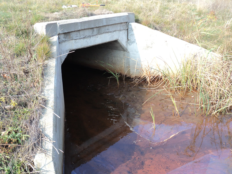
Inlet
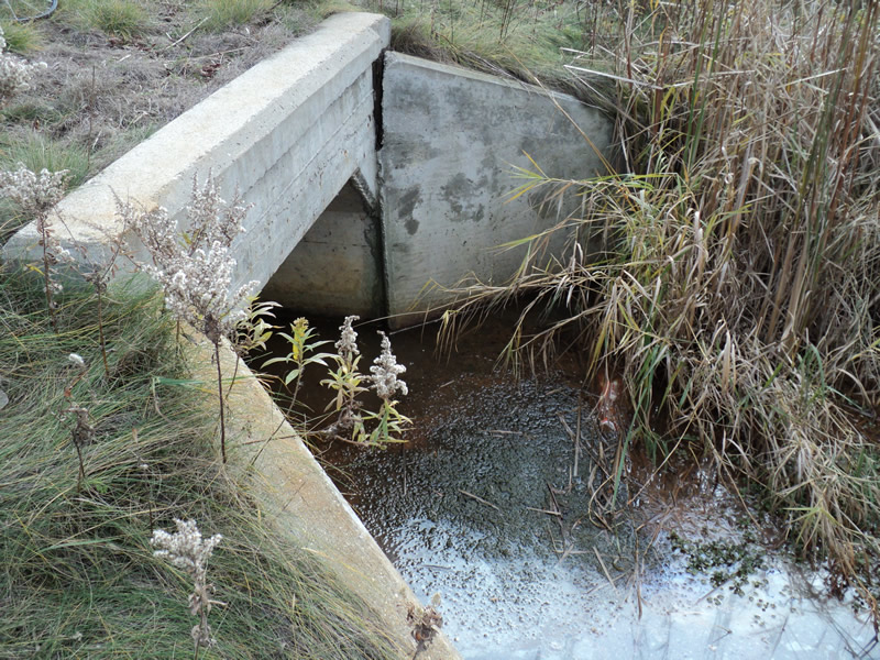
Outlet
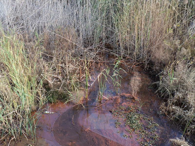
Upstream Conditions
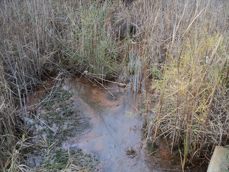
Downstream Conditions
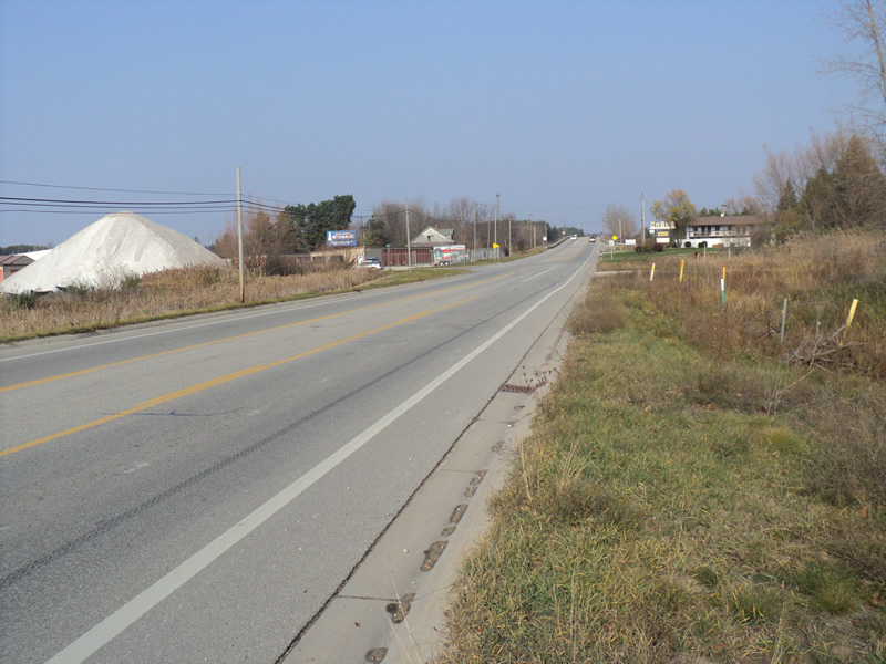
Road Approach - Left
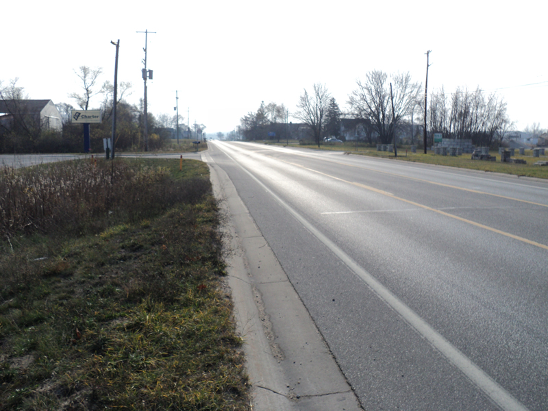
Road Approach - Right
Crossing Information
Type of Crossing: culvert(s)
Number of Structures: 1
Structure Shape: Open Bottom Square/Rectangle
Inlet Type: Wingwall 30-70 Degree
Outlet Type: At Stream Grade
Structure Material: Concrete
Structure Substrate: Mixture
General Conditions: Good
Structure Interior: smooth
Dimensions of Structure: Length 82 ft.
, Width 5.5 ft.
, Height 3.5 ft.
Structure Inlet
Water Depth: 0.2 ft.
Water Velocity*: 0.1 ft./sec.
Structure Outlet
Water Depth: 0.2 ft.
Water Velocity*: 0.1 ft./sec.
*Water Velocities were measured at the Surface
(with Meter)
Stream Information
Stream Flow: Less than 1/2 Bankfull
Riffle Information
Water Depth: 0.3 ft.
Bankfull Width: 8 ft.
Wetted Width: 4 ft.
Water Velocity: 0.4 ft./sec.
(Measured with Meter)
Dominant Substrate: Silt
Road Information
Paved
County Road
Road Condition: Good
Road Width at Culvert: 46 ft.
Location of Low Point: Other
Runoff Path: Roadway
Embankments
Upstream
Fill Depth: 0.5 ft.
Slope: More than 1:2
Downstream
Fill Depth: 0.5 ft.
Slope: More than 1:2
Approaches
Left Approach
Length: 420 ft.
Slope: 1% to 5%
Vegetation: Heavy
LS Factor: 0.484
Erosion: 0.3091 tons/year
Right Approach
Length: 300 ft.
Slope: 1% to 5%
Vegetation: Heavy
LS Factor: 0.46
Erosion: 0.2099 tons/year
Erosion Information
Total Erosion at Crossing: 0.519 tons/year
Summary Information
Fish Passability 0.9
A future visit to this site is recommended. water was an orange color with an oil sheen on it
These non-native species were observerd at this site: Reed Canary Grass
�