Road Stream Crossing Site Mu-005
Muskegon River Watershed, West Branch Muskegon River
Stephens Rd
West Branch Twp,
Missaukee County
Information collected by:
Site Location
GPS Coordinates: 44.36969
, -85.01487
T23N
R6W
Sec 23
Owned by Private
Structure is NOT Perched
Total Erosion: 0.0336 tons/year
Severity: Severe
Year Inventoried: 2014
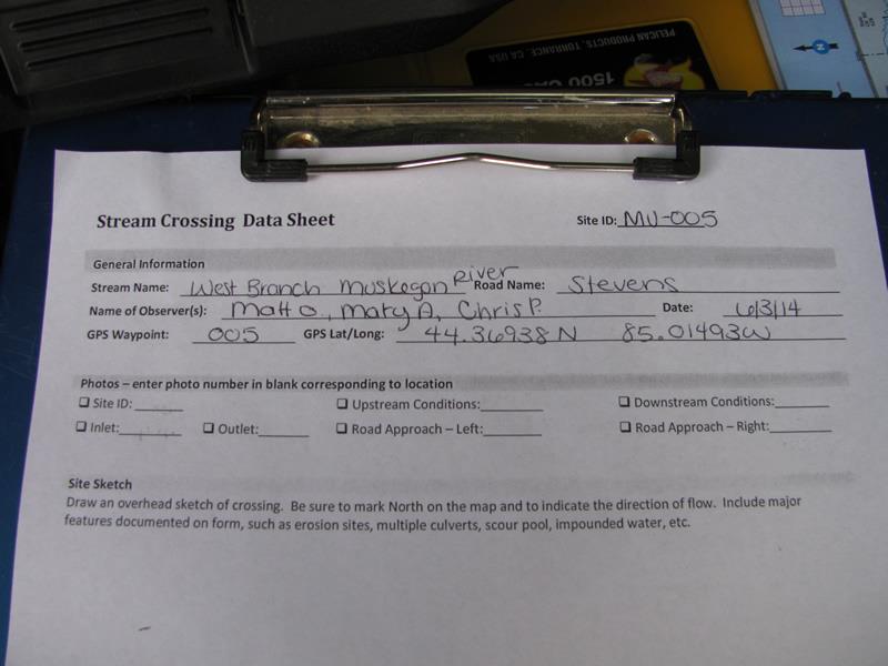
Site ID
Inlet
Outlet
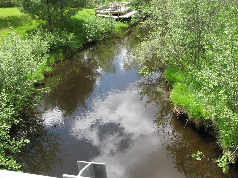
Upstream Conditions
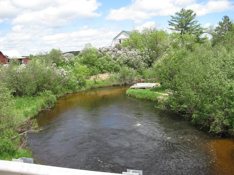
Downstream Conditions
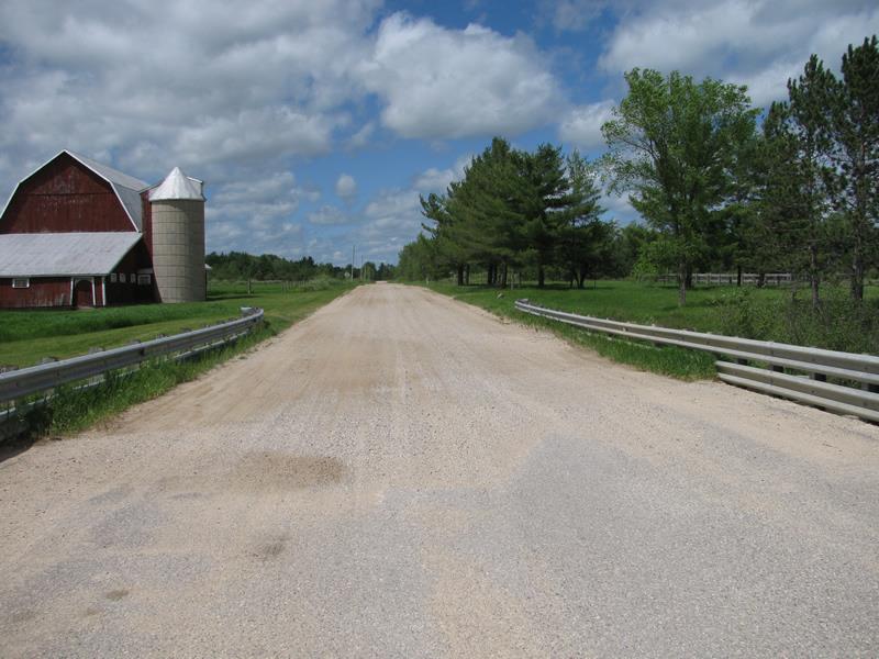
Road Approach - Left
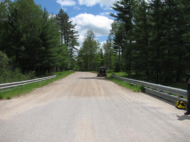
Road Approach - Right
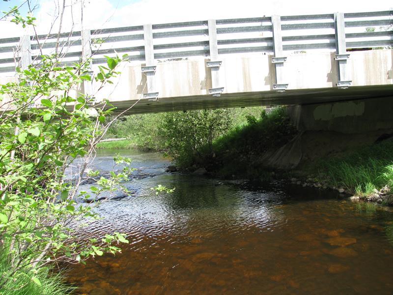
Crossing Information
Type of Crossing: Bridge
Structure Shape: Open Bottom Square/Rectangle
Inlet Type: Wingwall 30-70 Degree
Outlet Type: At Stream Grade
Structure Material: Concrete
Structure Substrate: Rock
General Conditions: Good
Structure Interior: smooth
Dimensions of Structure: Length 31 ft.
, Width 60 ft.
, Height 10 ft.
Structure is NOT Perched
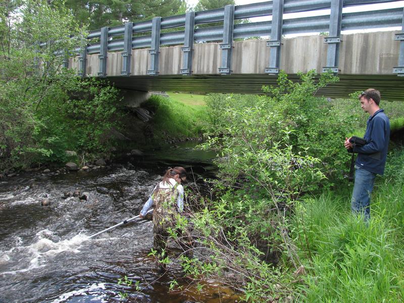
Structure Inlet
Water Depth: 1.7 ft.
Embedded Depth of Structure: 0 ft.
Water Velocity*: 1 ft./sec.
Structure Outlet
Water Depth: 1 ft.
Embedded Depth of Structure: 0 ft.
Water Velocity*: 4.7 ft./sec.
*Water Velocities were measured 1 ft. below Surface
(with Meter)
Stream Information
Stream Flow: Less than Bankfull
Riffle Information
Water Depth: 0.6 ft.
Bankfull Width: 34 ft.
Wetted Width: 32.6 ft.
Water Velocity: 1.7 ft./sec.
(Measured with Meter)
Dominant Substrate: Gravel
Road Information
Paved
County Road
Road Condition: Good
Road Width at Culvert: 31 ft.
Location of Low Point: At Stream
Runoff Path: Roadway
Fill Depth: 0 ft.
Slope: Vertical
Fill Depth: 0 ft.
Slope: Vertical
Approaches
Left Approach
Length: 358 ft.
Slope: Less Than 1%
Vegetation: Heavy
LS Factor: 0.05
Erosion: 0.0183 tons/year
Right Approach
Length: 298 ft.
Slope: Less Than 1%
Vegetation: Heavy
LS Factor: 0.05
Erosion: 0.0153 tons/year
Erosion Information
Total Erosion at Crossing: 0.0336 tons/year
Extent of Erosion: Moderate
Notes:
Stream-bank under structure eroded, likely due to high water event.
Summary Information
Erosion is an area of concern for this site.
�