Road Stream Crossing Site Mu-035
Muskegon River Watershed, Hersey River
Pere Marquette Trail
Richmond Twp,
Osceola County
Information collected by:
Site Location
GPS Coordinates: 43.87366
, -85.50028
T17N
R10W
Sec 10
Owned by Private
Structure is NOT Perched
Total Erosion: 0.0099 tons/year
Severity: Moderate
Year Inventoried: 2014
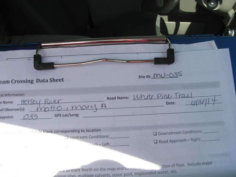
Site ID
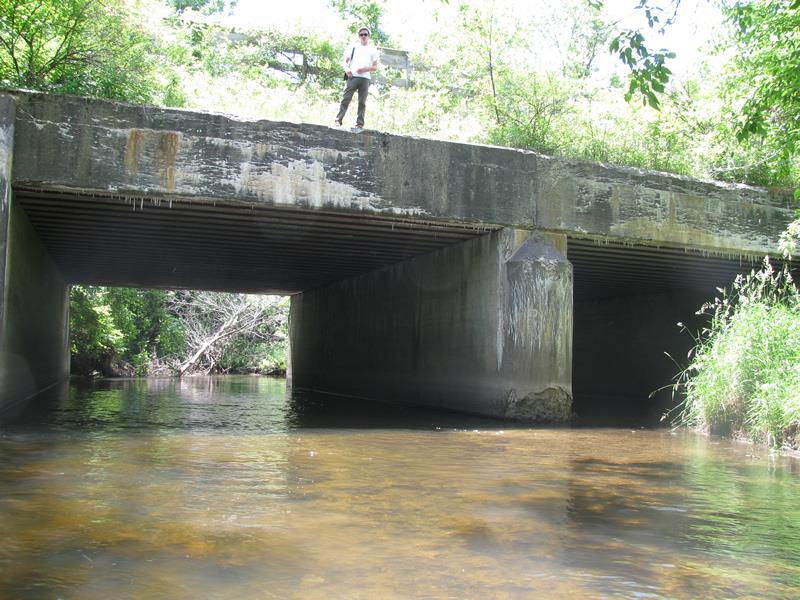
Inlet
Outlet
Upstream Conditions
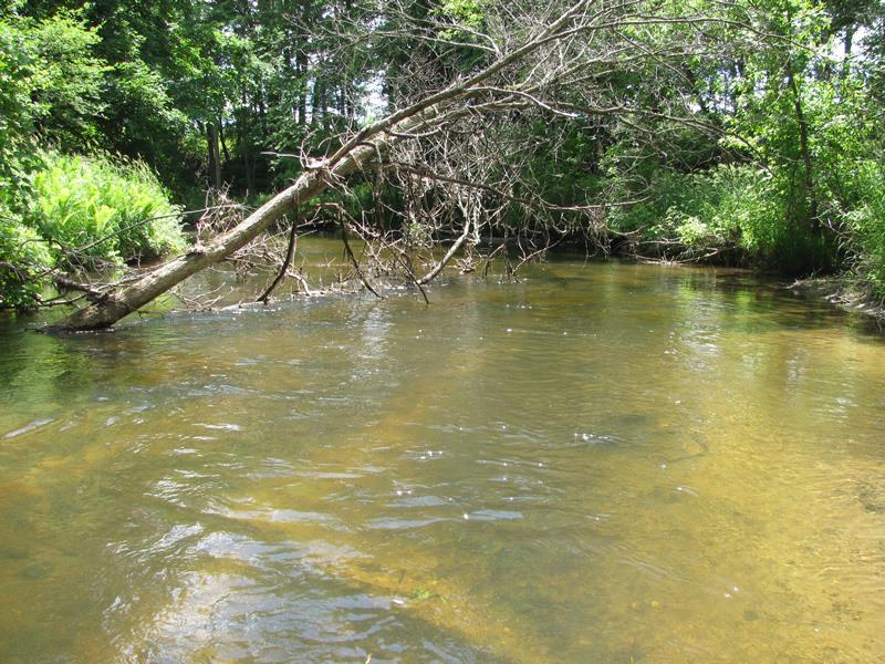
Downstream Conditions

Road Approach - Left
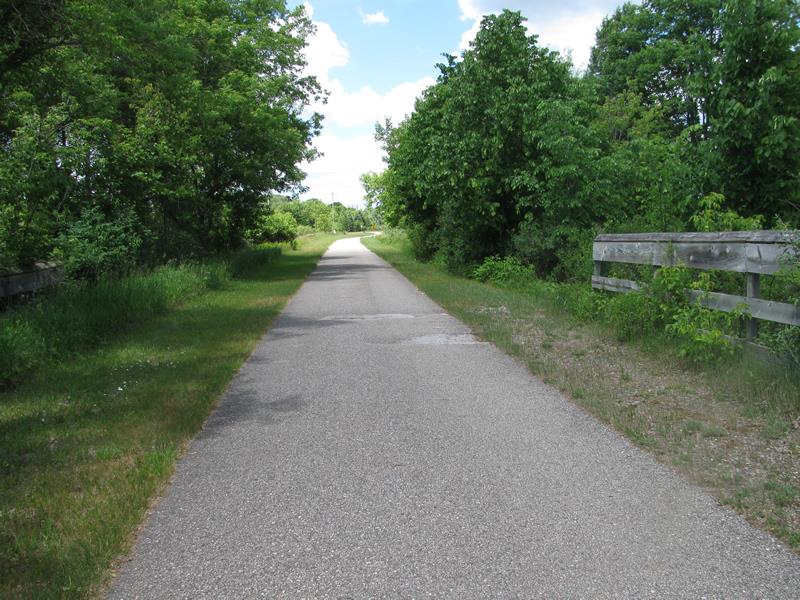
Road Approach - Right
Crossing Information
Type of Crossing: Bridge
Structure Shape: Open Bottom Square/Rectangle
Inlet Type: Wingwall 30-70 Degree
Outlet Type: At Stream Grade
Structure Material: Concrete
Structure Substrate: Sand
General Conditions: Poor
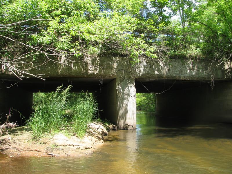
Multiple Culverts/Spans | ||||
Culvert/Span | Width | Length | Height | Material |
1 |
27 ft. |
52.5 ft. |
13.2 ft. |
Concrete |
2 |
27 ft. |
52.5 ft. |
8.5 ft. |
Concrete |
Structure Interior: smooth
Dimensions of Structure: Length 52.5 ft.
, Width 54 ft.
, Height 13.2 ft.
Percentage Plugged:
Inlet: 26% to 50%
Outlet: 26% to 50%
In Pipe: 26% to 50%
Structure is NOT Perched
Structure Inlet
Water Depth: 2 ft.
Embedded Depth of Structure: 0 ft.
Water Velocity*: 1.8 ft./sec.
Structure Outlet
Water Depth: 1.6 ft.
Embedded Depth of Structure: 0 ft.
Water Velocity*: 2 ft./sec.
*Water Velocities were measured 0.6 ft. below Surface
(with Meter)
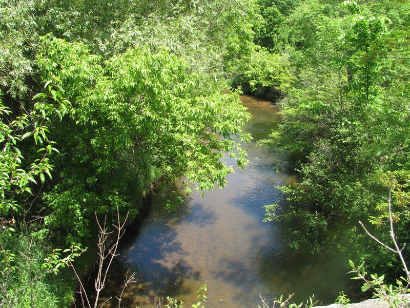
Stream Information
Stream Flow: Less than Bankfull
Riffle Information
Water Depth: 2.1 ft.
Bankfull Width: 45.5 ft.
Wetted Width: 41 ft.
Water Velocity: 2.2 ft./sec.
(Measured with Meter)
Dominant Substrate: Sand
Road Information
Paved
State Road
Road Condition: Good
Road Width at Culvert: 24 ft.
Location of Low Point: At Stream
Runoff Path: Roadway
Embankments
Upstream
Fill Depth: 7 ft.
Slope: 1:2
Downstream
Fill Depth: 5 ft.
Slope: 1:1.5
Approaches
Left Approach
Length: 50 ft.
Slope: Less Than 1%
Vegetation: Heavy
LS Factor: 0.05
Erosion: 0.002 tons/year
Right Approach
Length: 200 ft.
Slope: Less Than 1%
Vegetation: Heavy
LS Factor: 0.05
Erosion: 0.0079 tons/year
Erosion Information
Total Erosion at Crossing: 0.0099 tons/year
Extent of Erosion: Moderate
Summary Information
Erosion is an area of concern for this site.
�