Road Stream Crossing Site Mu-036
Muskegon River Watershed, Hersey River
Chestnut St
Richmond Twp,
Osceola County
Information collected by:
Site Location
GPS Coordinates: 43.88043
, -85.50997
T17N
R10W
Sec 9
Owned by Private
Structure is NOT Perched
Total Erosion: 0.0159 tons/year
Severity: Severe
Year Inventoried: 2014
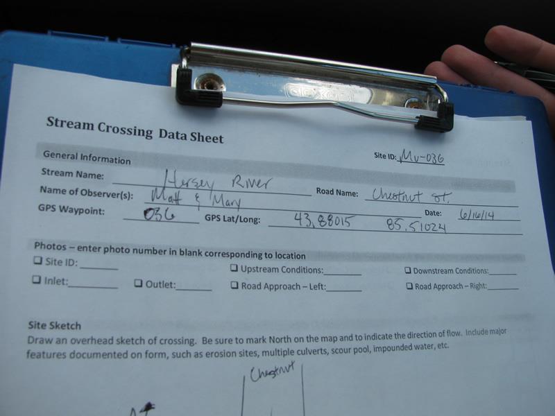
Site ID
Inlet
Outlet
Upstream Conditions
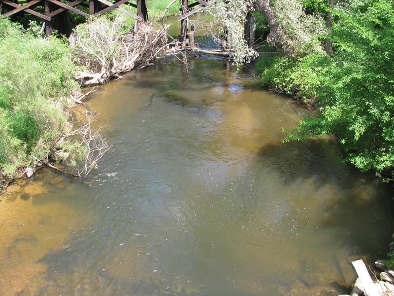
Downstream Conditions
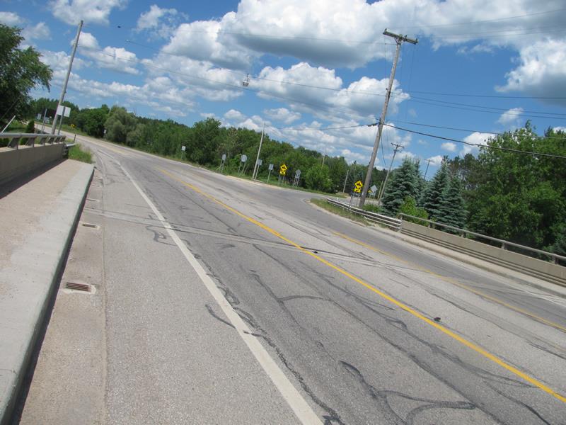
Road Approach - Left
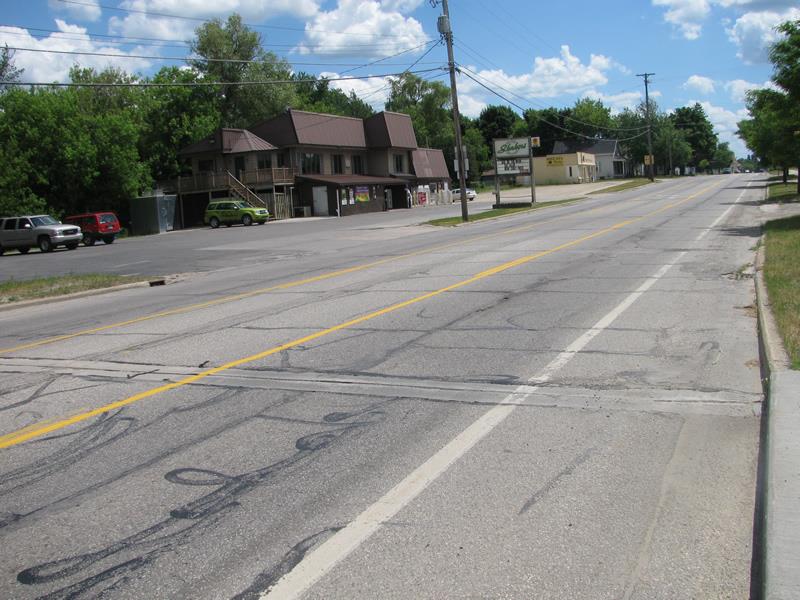
Road Approach - Right
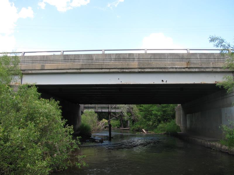
Crossing Information
Type of Crossing: Bridge
Structure Shape: Open Bottom Square/Rectangle
Inlet Type: Other
Outlet Type: At Stream Grade
Structure Material: Metal
Structure Substrate: Gravel
General Conditions: Fair
Multiple Culverts/Spans | ||||
Culvert/Span | Width | Length | Height | Material |
1 |
48 ft. |
64 ft. |
15 ft. |
Metal |
2 |
48 ft. |
64 ft. |
8 ft. |
Metal |
Structure Interior: smooth
Dimensions of Structure: Length 64 ft.
, Width 96 ft.
, Height 15 ft.
Structure is NOT Perched
Structure Inlet
Water Depth: 1.6 ft.
Embedded Depth of Structure: 0 ft.
Water Velocity*: 2.2 ft./sec.
Structure Outlet
Water Depth: 3.5 ft.
Embedded Depth of Structure: 0 ft.
Water Velocity*: 3.3 ft./sec.
*Water Velocities were measured 1 ft. below Surface
(with Meter)
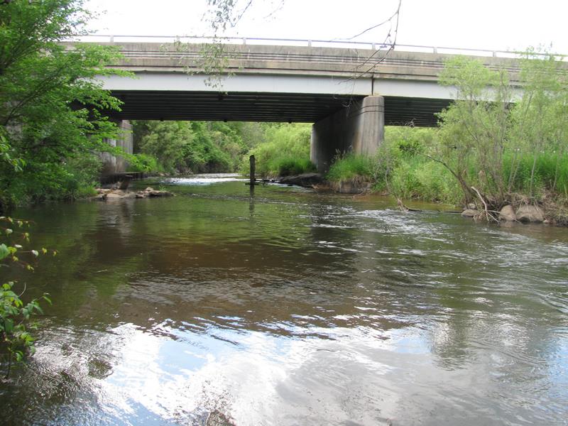
Stream Information
Stream Flow: Less than Bankfull
Riffle Information
Water Depth: 0.6 ft.
Bankfull Width: 46 ft.
Wetted Width: 40 ft.
Water Velocity: 2.4 ft./sec.
(Measured with Meter)
Dominant Substrate: Gravel
Road Information
Paved
County Road
Road Condition: Fair
Road Width at Culvert: 48 ft.
Location of Low Point: Other
Runoff Path: Ditch
Fill Depth: 0 ft.
Slope: Vertical
Fill Depth: 0 ft.
Slope: Vertical
Approaches
Left Approach
Length: 200 ft.
Slope: Less Than 1%
Vegetation: Heavy
LS Factor: 0.05
Erosion: 0.0159 tons/year
Right Approach
Length: 0 ft.
Slope: Less Than 1%
Vegetation: Partial
LS Factor: 0.05
Erosion: 0 tons/year
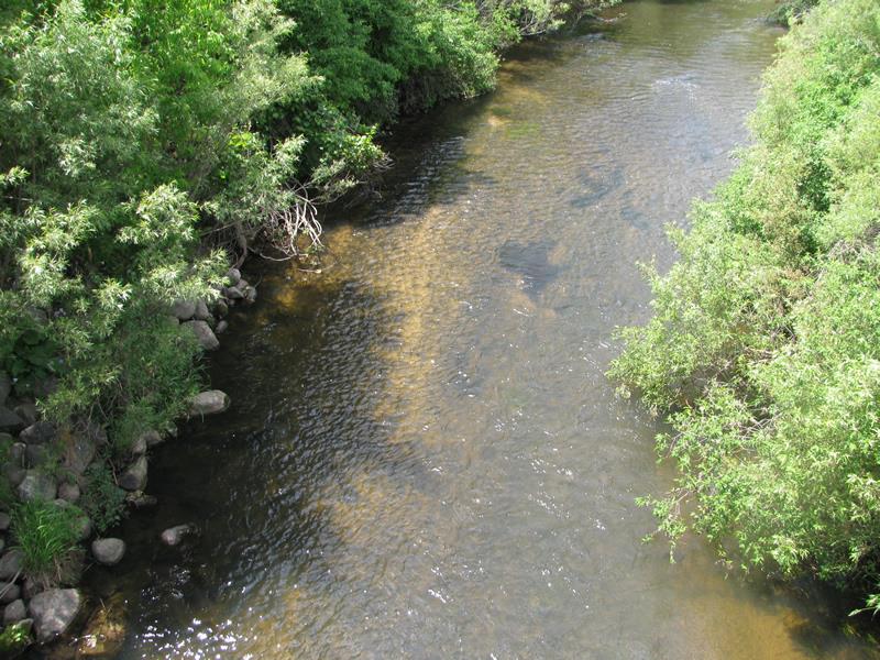
Erosion Information
Total Erosion at Crossing: 0.0159 tons/year
Extent of Erosion: Moderate
Location of Erosion | Erosion Dimensions | Eroded Material | Material Eroded | Total Erosion | ||
facing downstream | Length | Width | Depth | Reaching Stream? | (tons/year) | |
Right Downstream Streambank |
25 ft. |
2 ft. |
4 ft. |
yes |
Sand |
|
Summary Information
Erosion is an area of concern for this site.
�