Road Stream Crossing Site Mu-046
Muskegon River Watershed, Johnson Creek
220th Ave
Richmond Twp,
Osceola County
Information collected by:
Site Location
GPS Coordinates: 43.8898
, -85.52286
T17N
R10W
Sec 5
Owned by Private
Structure is NOT Perched
Total Erosion: 0.5985 tons/year
Severity: Minor
Year Inventoried: 2014
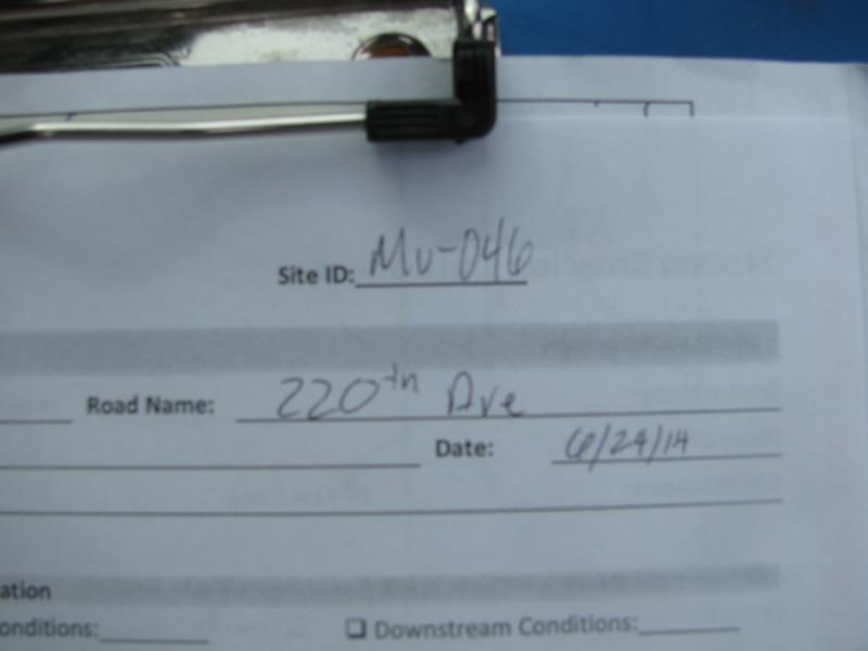
Site ID
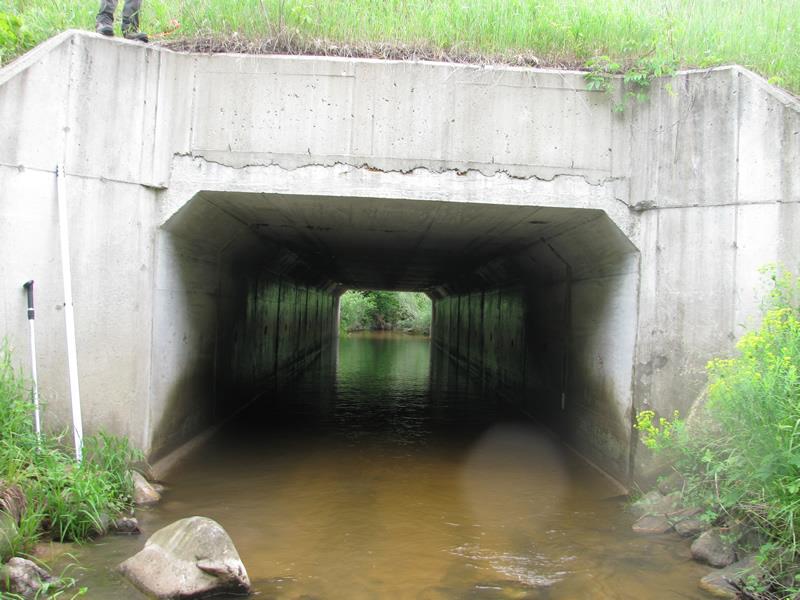
Inlet
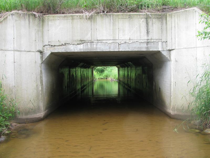
Outlet
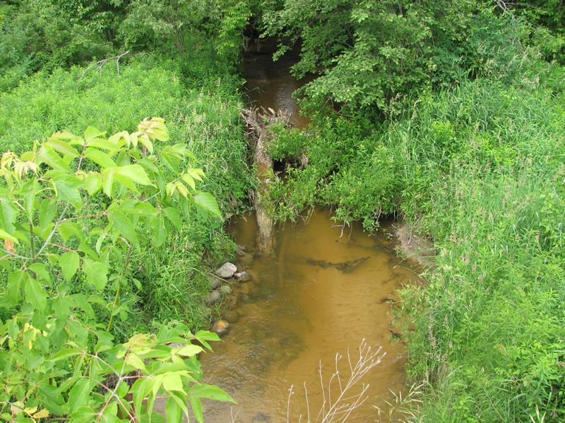
Upstream Conditions
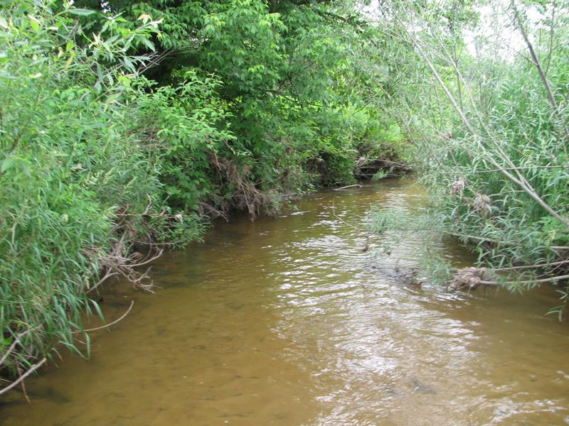
Downstream Conditions
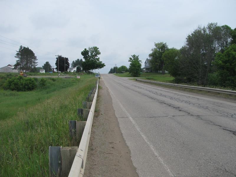
Road Approach - Left
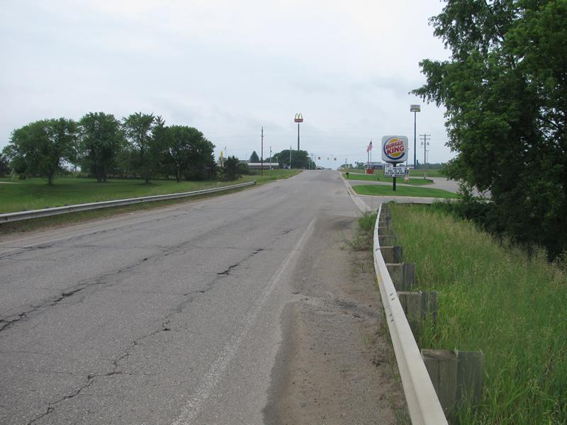
Road Approach - Right
Crossing Information
Type of Crossing: culvert(s)
Number of Structures: 1
Structure Shape: Square/Rectangle
Inlet Type: Wingwall 30-70 Degree
Outlet Type: At Stream Grade
Structure Material: Concrete
Structure Substrate: Sand
General Conditions: Fair
Structure Interior: smooth
Dimensions of Structure: Length 93 ft.
, Width 11.5 ft.
, Height 7.9 ft.
Structure is NOT Perched
Structure Inlet
Water Depth: 0.8 ft.
Embedded Depth of Structure: 0.3 ft.
Water Velocity*: 1.5 ft./sec.
Structure Outlet
Water Depth: 0.7 ft.
Embedded Depth of Structure: 1.4 ft.
Water Velocity*: 1.2 ft./sec.
*Water Velocities were measured 0.4 ft. below Surface
(with Meter)
Stream Information
Stream Flow: Less than Bankfull
Riffle Information
Water Depth: 0.7 ft.
Bankfull Width: 16.3 ft.
Wetted Width: 11.6 ft.
Water Velocity: 1.9 ft./sec.
(Measured with Meter)
Dominant Substrate: Sand
Road Information
Paved
County Road
Road Condition: Fair
Road Width at Culvert: 34 ft.
Location of Low Point: At Stream
Runoff Path: Ditch
Embankments
Upstream
Fill Depth: 7.5 ft.
Slope: More than 1:2
Downstream
Fill Depth: 10.5 ft.
Slope: More than 1:2
Approaches
Left Approach
Length: 600 ft.
Slope: 1% to 5%
Vegetation: Heavy
LS Factor: 0.52
Erosion: 0.3507 tons/year
Right Approach
Length: 450 ft.
Slope: 1% to 5%
Vegetation: Heavy
LS Factor: 0.49
Erosion: 0.2478 tons/year
Erosion Information
Total Erosion at Crossing: 0.5985 tons/year
Extent of Erosion: Moderate
Location of Erosion | Erosion Dimensions | Eroded Material | Material Eroded | Total Erosion | ||
facing downstream | Length | Width | Depth | Reaching Stream? | (tons/year) | |
Right Upstream Streambank |
60 ft. |
1.5 ft. |
3.5 ft. |
yes |
Sand |
|
Summary Information
Erosion is an area of concern for this site.
�