Road Stream Crossing Site CHAR_EV04
Lake Charlevoix Watershed, Lake Charlevoix
Holy Island Rd
Eveline Twp,
Charlevoix County
Information collected by:
Site Location
GPS Coordinates: 45.2331
, -85.16968
T33N
R07W
Sec 28
Owned by Private
Structure is NOT Perched
Total Erosion: 5.0009 tons/year
Severity: Severe
Year Inventoried: 2011
Inlet
Outlet
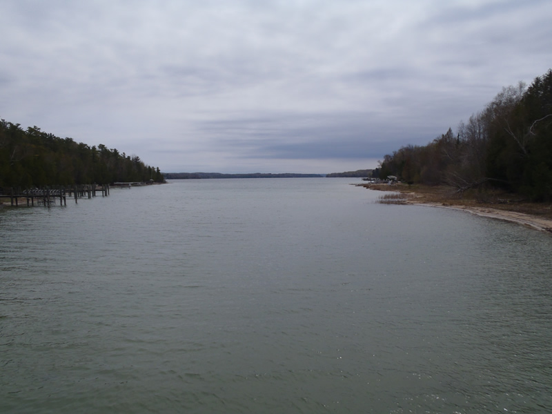
Upstream Conditions
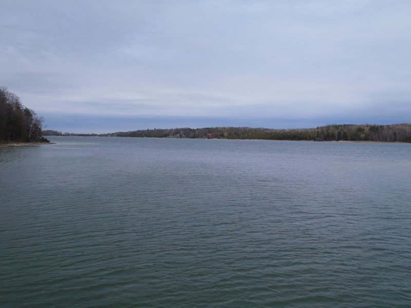
Downstream Conditions
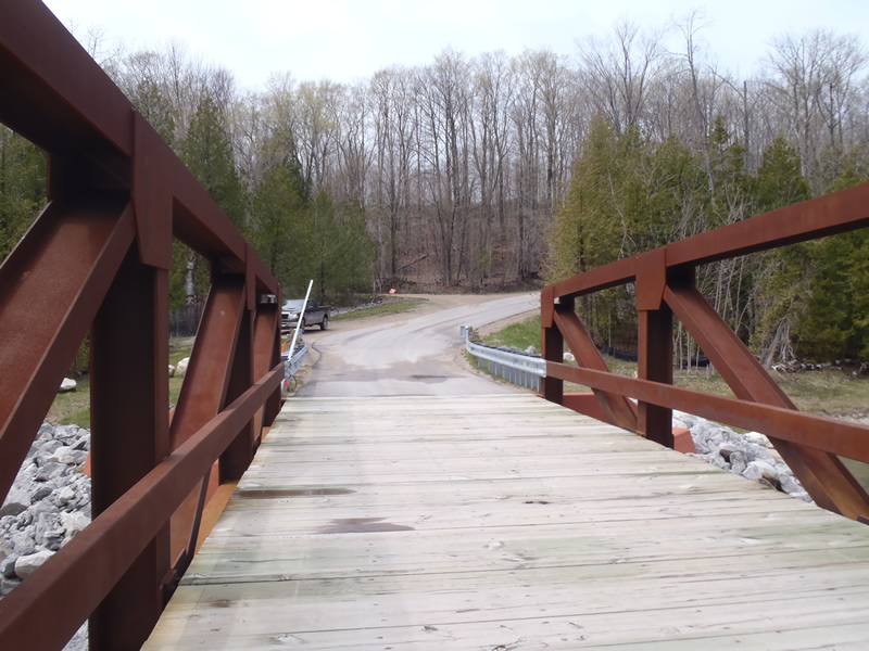
Road Approach - Left
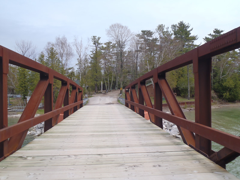
Road Approach - Right
Crossing Information
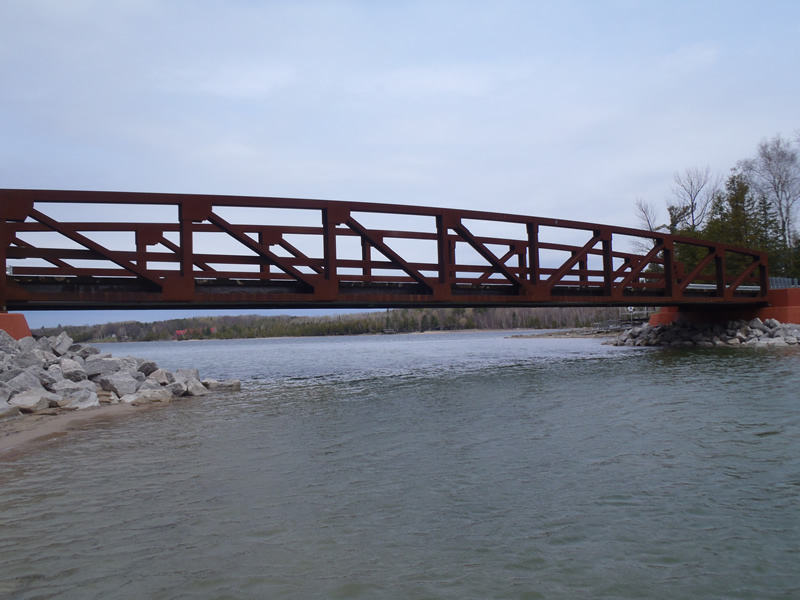
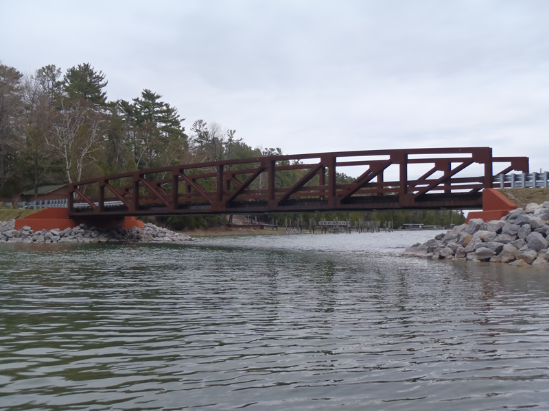
Type of Crossing: Bridge
Structure Shape: Open Bottom Square/Rectangle
Inlet Type: Wingwall 10-30 Degree
Outlet Type: At Stream Grade
Structure Material: Metal
Structure Substrate: Mixture
General Conditions: Good
Dimensions of Structure: Length 20 ft.
, Width 120 ft.
, Height 15 ft.
Structure is NOT Perched
Structure Inlet
Water Depth: 6 ft.
Embedded Depth of Structure: 0 ft.
Water Velocity*: 0.2 ft./sec.
Structure Outlet
Water Depth: 6 ft.
Embedded Depth of Structure: 0 ft.
Water Velocity*: 0.2 ft./sec.
*Water Velocities were measured 2 ft. below Surface
(with Meter)
Additional Comments
Bridge spanning Lake Charlevoix between main land and island. The Right Approach on the island is gravel and in fair condition. The left approach on the mainland is paved and in good condition. The bridge surface is wood and in good condition.
Dominant Substrate: Sand
Road Information
Paved
County Road
Road Condition: Fair
Road Width at Culvert: 15 ft.
Location of Low Point: At Stream
Runoff Path: Ditch
Fill Depth: 0 ft.
Slope: Vertical
Fill Depth: 0 ft.
Slope: Vertical
Approaches
Left Approach
Length: 1000 ft.
Slope: More Than 10%
Vegetation: Partial
LS Factor: 9.065
Erosion: 4.495 tons/year
Right Approach
Length: 468 ft.
Slope: 6% to 10%
Vegetation: Partial
LS Factor: 2.18
Erosion: 0.5058 tons/year
Erosion Information
Total Erosion at Crossing: 5.0009 tons/year
Summary Information
�