Road Stream Crossing Site PM_N005
Pere Marquette River Watershed, Pease Creek
Pine Ave
Home Twp,
Newaygo County
Information collected by:
Site Location
GPS Coordinates: 43.7963294964797
, -85.6827431917191
T16N
R12W
Sec 12
Owned by Private
Total Erosion: 0.6429 tons/year
Severity: Moderate
Year Inventoried: 2014
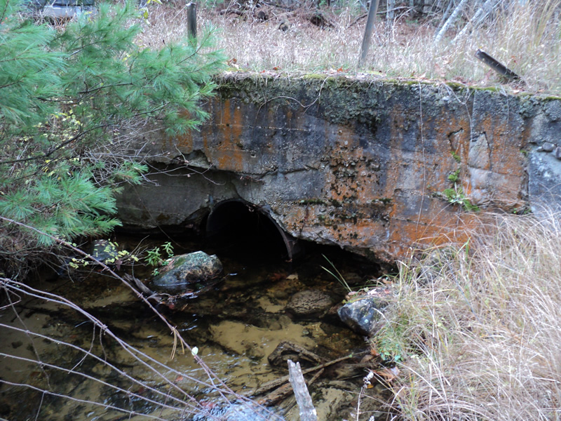
Inlet
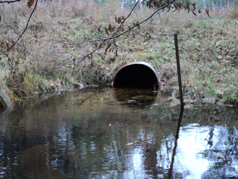
Outlet
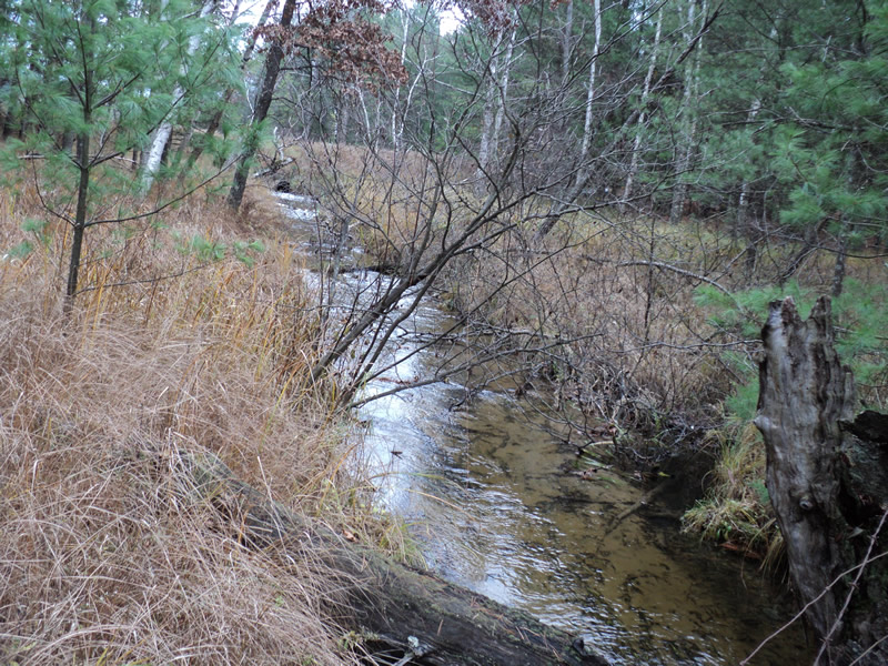
Upstream Conditions
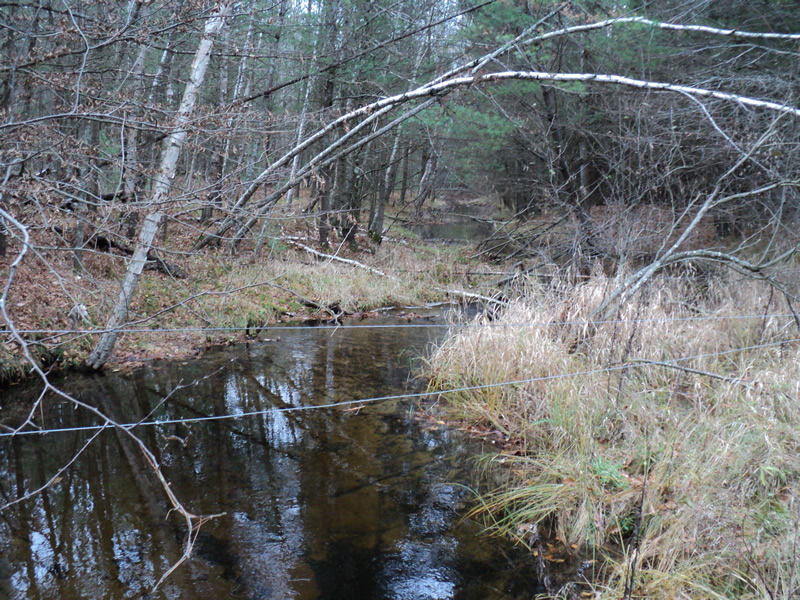
Downstream Conditions
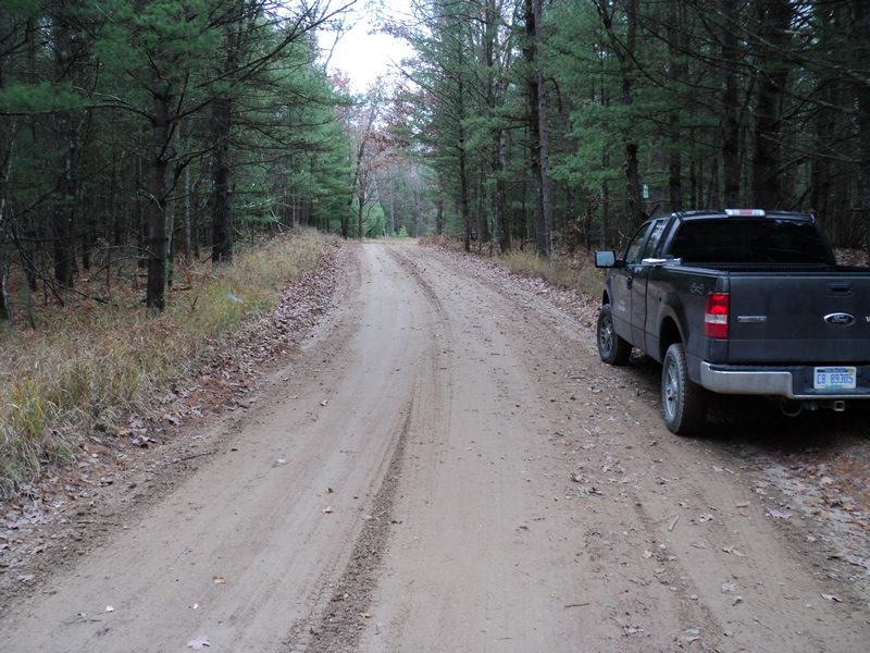
Road Approach - Left
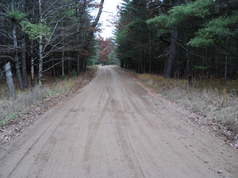
Road Approach - Right
Crossing Information
Type of Crossing: culvert(s)
Number of Structures: 1
Structure Shape: Round
Inlet Type: Headwall
Outlet Type: At Stream Grade
Structure Material: Metal
Structure Substrate: None
General Conditions: Fair
Structure Interior: smooth
Dimensions of Structure: Length 31 ft.
, Width 3 ft.
, Height 3 ft.
Structure Inlet
Water Depth: 1.2 ft.
Water Velocity*: 1.3 ft./sec.
Structure Outlet
Water Depth: 1.1 ft.
Water Velocity*: 1.1 ft./sec.
*Water Velocities were measured 1 ft. below Surface
(with Meter)
Additional Comments
Inlet is much older than outlet, head-wall is falling apart. 200ft? Upstream is a culvert on private property draining a flooded area. Several Brook Trout living in scour pool. Land is owned by Grass Lake Hunt/Fish Club.
Stream Information
Stream Flow: Bankfull
Scour Pool: Length 17 ft.
, Width 10 ft.
, Depth 2.8 ft.
Riffle Information
Water Depth: 0.5 ft.
Bankfull Width: 13 ft.
Wetted Width: 13 ft.
Water Velocity: 1.1 ft./sec.
(Measured with Meter)
Dominant Substrate: Sand
Road Information
Gravel
County Road
Road Condition: Poor
Road Width at Culvert: 17 ft.
Location of Low Point: At Stream
Runoff Path: Roadway
Embankments
Upstream
Fill Depth: 2 ft.
Slope: Vertical
Downstream
Fill Depth: 2.2 ft.
Slope: 1:2
Approaches
Left Approach
Length: 120 ft.
Slope: 1% to 5%
Vegetation: Heavy
LS Factor: 0.388
Erosion: 0.218 tons/year
Right Approach
Length: 210 ft.
Slope: 1% to 5%
Vegetation: Heavy
LS Factor: 0.432
Erosion: 0.4249 tons/year
Erosion Information
Total Erosion at Crossing: 0.6429 tons/year
Extent of Erosion: Minor
Notes:
Road sides are banked.
Summary Information
Erosion is an area of concern for this site.
�