Road Stream Crossing Site PM_N009
Pere Marquette River Watershed, Whipple Creek
13 Mile Rd
Home Twp,
Newaygo County
Information collected by:
Site Location
GPS Coordinates: 43.74278
, -85.71008
T16N
R12W
Sec 26
Owned by Private
Fish Passability 0.9
Total Erosion: 0.0655 tons/year
Severity: Moderate
Year Inventoried: 2014
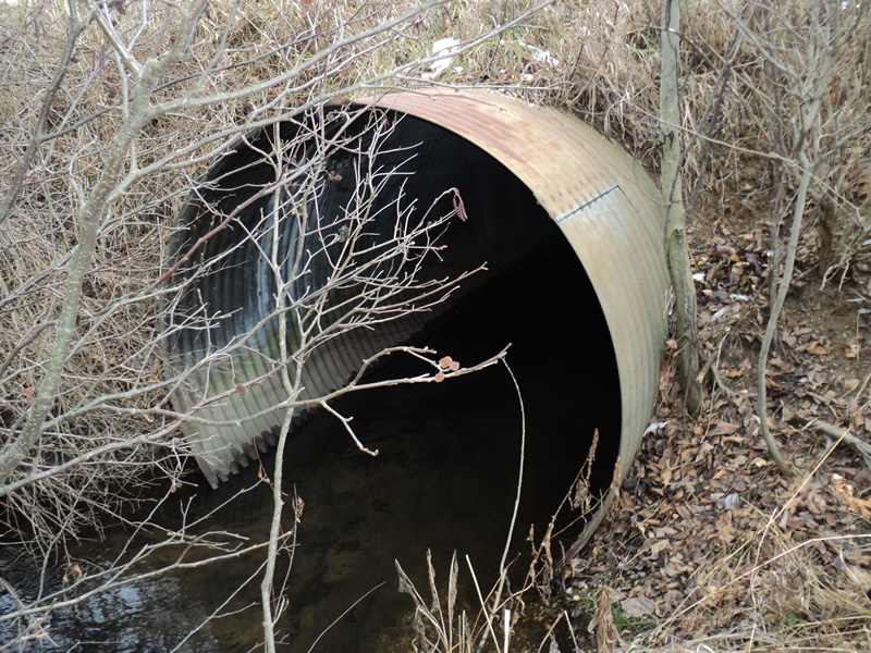
Inlet
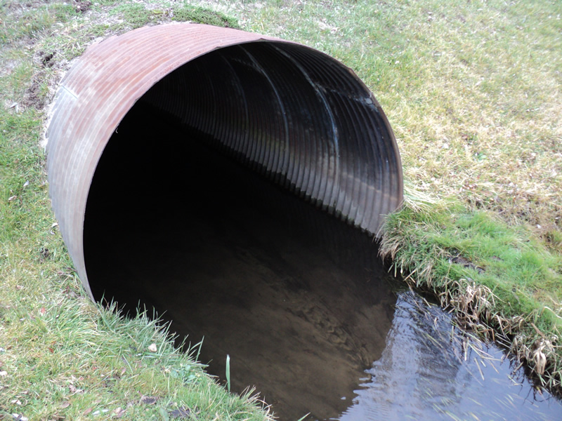
Outlet
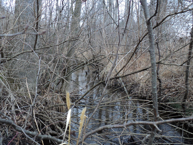
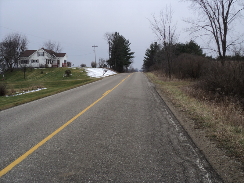
Upstream Conditions
Downstream Conditions
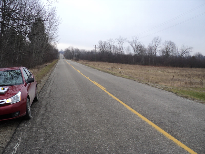
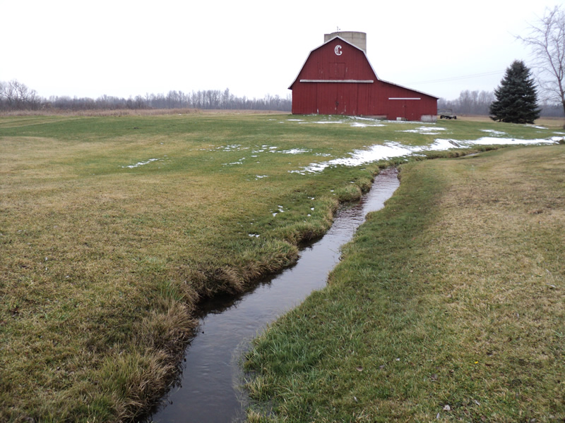
Road Approach - Left
Road Approach - Right
Crossing Information
Type of Crossing: culvert(s)
Number of Structures: 1
Structure Shape: Round
Inlet Type: Projecting
Outlet Type: At Stream Grade
Structure Material: Metal
Structure Substrate: Sand
General Conditions: Good
Structure Interior: corrugated
Dimensions of Structure: Length 42 ft.
, Width 5.5 ft.
, Height 5.5 ft.
Structure Inlet
Water Depth: 0.7 ft.
Embedded Depth of Structure: 0.2 ft.
Water Velocity*: 0.6 ft./sec.
Structure Outlet
Water Depth: 0.4 ft.
Embedded Depth of Structure: 0.1 ft.
Water Velocity*: 0.7 ft./sec.
*Water Velocities were measured 0.2 ft. below Surface
(with Meter)
Stream Information
Stream Flow: Less than Bankfull
Riffle Information
Water Depth: 0.4 ft.
Bankfull Width: 7 ft.
Wetted Width: 5 ft.
Water Velocity: 1 ft./sec.
(Measured with Meter)
Dominant Substrate: Sand
Road Information
Paved
County Road
Road Condition: Good
Road Width at Culvert: 22 ft.
Location of Low Point: Other
Runoff Path: Ditch
Embankments
Upstream
Fill Depth: 1.5 ft.
Slope: 1:1.5
Downstream
Fill Depth: 1.8 ft.
Slope: 1:1.5
Approaches
Left Approach
Length: 200 ft.
Slope: Less Than 1%
Vegetation: Heavy
LS Factor: 0.05
Erosion: 0.0073 tons/year
Right Approach
Length: 180 ft.
Slope: 1% to 5%
Vegetation: Heavy
LS Factor: 0.418
Erosion: 0.0547 tons/year
Erosion Information
Total Erosion at Crossing: 0.0655 tons/year
Extent of Erosion: Minor
Location of Erosion | Erosion Dimensions | Eroded Material | Material Eroded | Total Erosion | ||
facing downstream | Length | Width | Depth | Reaching Stream? | (tons/year) | |
Right Upstream Embankment |
7 ft. |
2 ft. |
0.5 ft. |
yes |
Gravel |
0.0035 |
Summary Information
Fish Passability 0.9
�