Road Stream Crossing Site PM_N012
Pere Marquette River Watershed, Little South Branch tributary
Spruce Ave
Home Twp,
Newaygo County
Information collected by:
Site Location
GPS Coordinates: 43.77711
, -85.74112
T16N
R12W
Sec 15
Owned by Private
Total Erosion: 0.1849 tons/year
Severity: Restored
Year Inventoried: 2014
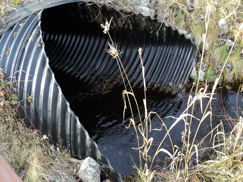
Inlet
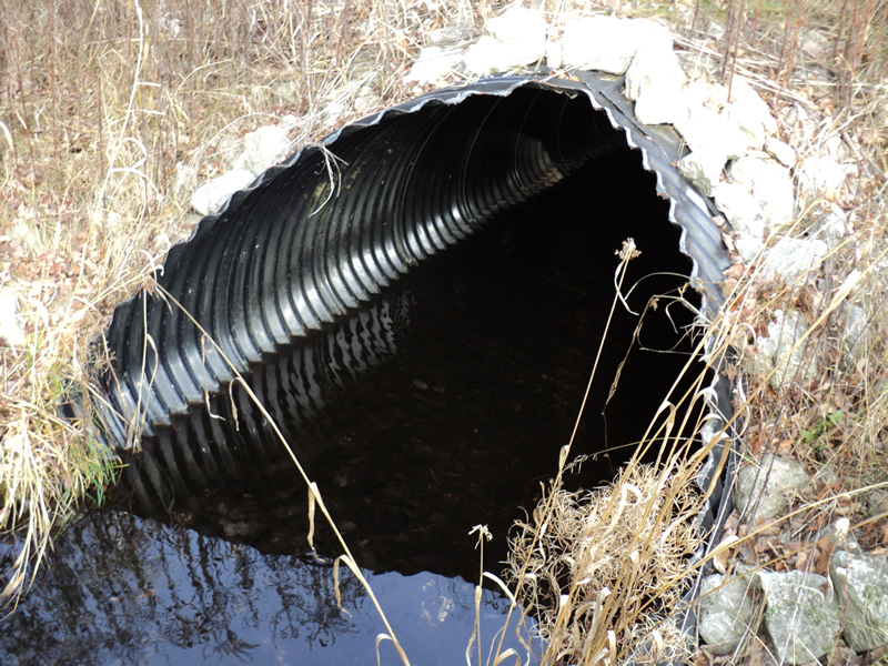
Outlet
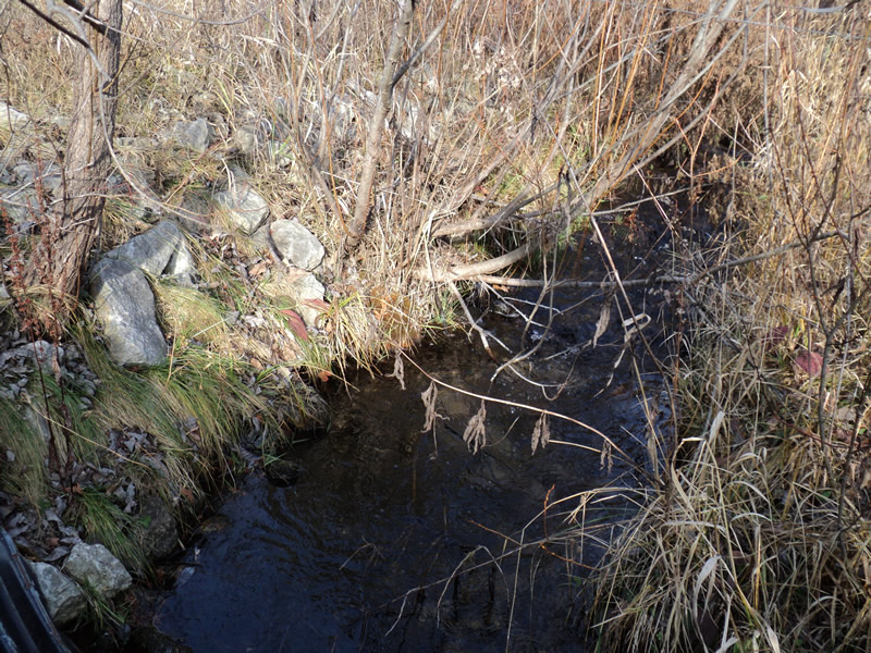
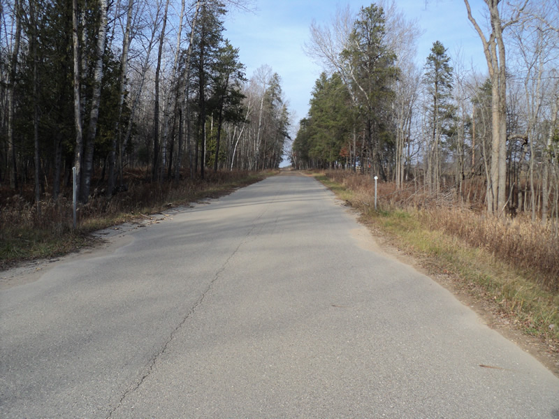
Upstream Conditions
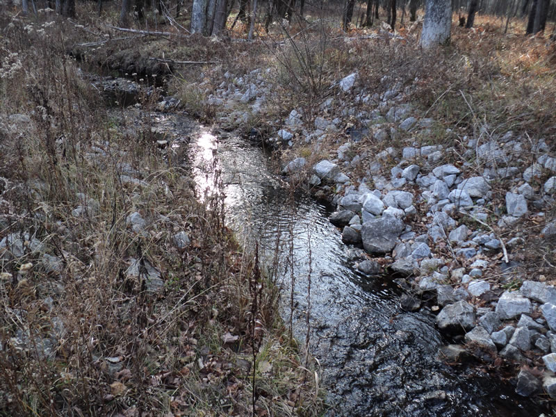
Downstream Conditions
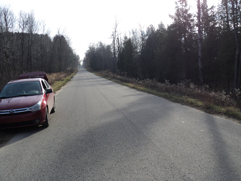
Road Approach - Left
Road Approach - Right
Crossing Information
Type of Crossing: culvert(s)
Number of Structures: 1
Structure Shape: Pipe Arch
Inlet Type: Mitered
Outlet Type: At Stream Grade
Structure Material: Metal
Structure Substrate: None
General Conditions: Good
Structure Interior: corrugated
Dimensions of Structure: Length 68 ft.
, Width 6 ft.
, Height 4 ft.
Structure Inlet
Water Depth: 0.2 ft.
Water Velocity*: 1 ft./sec.
Structure Outlet
Water Depth: 0.3 ft.
Water Velocity*: 0.4 ft./sec.
*Water Velocities were measured at the Surface
(with Meter)
Stream Information
Stream Flow: Less than Bankfull
Riffle Information
Water Depth: 0.2 ft.
Bankfull Width: 4 ft.
Wetted Width: 4 ft.
Water Velocity: 1.2 ft./sec.
(Measured with Meter)
Dominant Substrate: Cobble
Road Information
Paved
County Road
Road Condition: Good
Road Width at Culvert: 23 ft.
Location of Low Point: At Stream
Runoff Path: Roadway
Embankments
Upstream
Fill Depth: 1.5 ft.
Slope: More than 1:2
Downstream
Fill Depth: 3 ft.
Slope: More than 1:2
Approaches
Left Approach
Length: 300 ft.
Slope: 1% to 5%
Vegetation: Heavy
LS Factor: 0.46
Erosion: 0.1049 tons/year
Right Approach
Length: 240 ft.
Slope: 1% to 5%
Vegetation: Heavy
LS Factor: 0.438
Erosion: 0.0799 tons/year
Erosion Information
Total Erosion at Crossing: 0.1849 tons/year
Extent of Erosion: Moderate
Summary Information
Erosion is an area of concern for this site.
�