Road Stream Crossing Site PM_N013
Pere Marquette River Watershed, Little South Branch tributary
Spruce Ave
Home Twp,
Newaygo County
Information collected by:
Site Location
GPS Coordinates: 43.77238
, -85.74181
T16N
R12W
Sec 15
Owned by Private
Total Erosion: 0.1555 tons/year
Severity: Restored
Year Inventoried: 2014
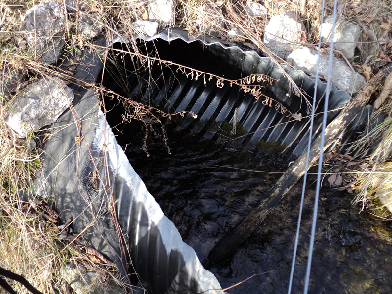
Inlet
Outlet
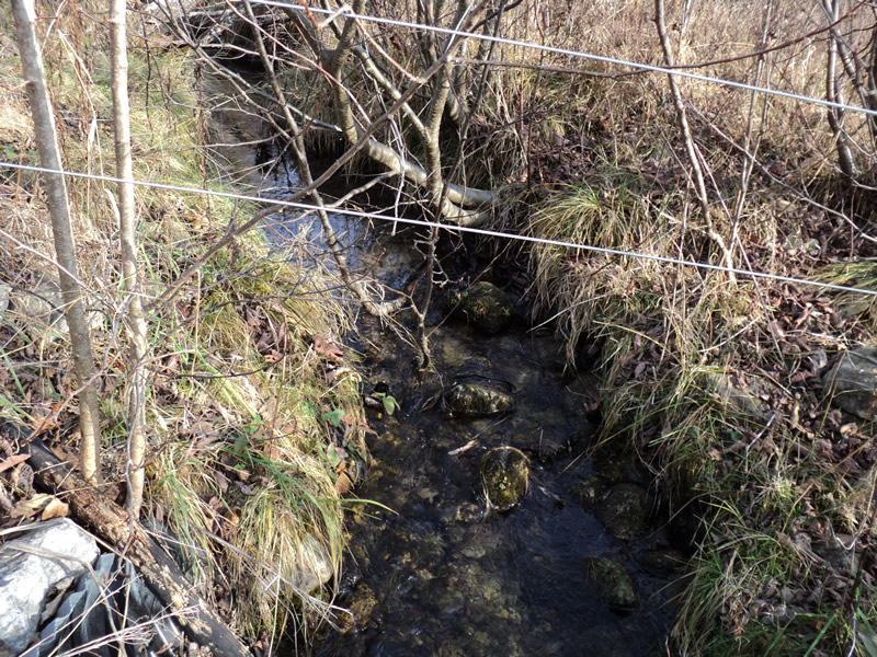
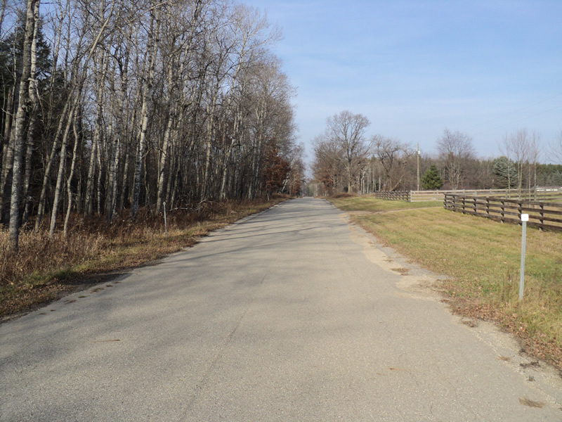
Upstream Conditions
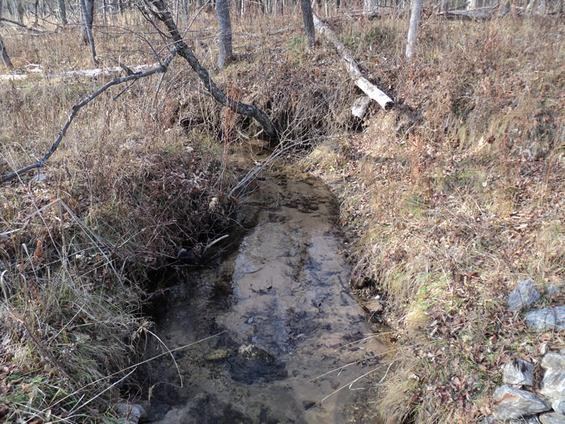
Downstream Conditions
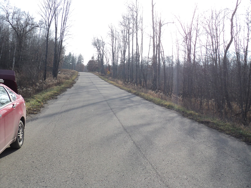
Road Approach - Left
Road Approach - Right
Crossing Information
Type of Crossing: culvert(s)
Number of Structures: 1
Structure Shape: Pipe Arch
Inlet Type: Mitered
Outlet Type: Cascade over Riprap
Structure Material: Metal
Structure Substrate: Sand
General Conditions: Good
Structure Interior: corrugated
Dimensions of Structure: Length 67 ft.
, Width 3.5 ft.
, Height 2 ft.
Structure Inlet
Water Depth: 0.1 ft.
Water Velocity*: 2.3 ft./sec.
Structure Outlet
Water Depth: 0.2 ft.
Water Velocity*: 0.4 ft./sec.
*Water Velocities were measured at the Surface
(with Meter)
Additional Comments
Private landowner expressed concern over outlet being too high above inlet
Stream Information
Stream Flow: Less than Bankfull
Riffle Information
Water Depth: 0.2 ft.
Bankfull Width: 4 ft.
Wetted Width: 4 ft.
Water Velocity: 0.8 ft./sec.
(Measured with Meter)
Dominant Substrate: Sand
Road Information
Paved
County Road
Road Condition: Good
Road Width at Culvert: 21 ft.
Location of Low Point: At Stream
Runoff Path: Roadway
Embankments
Upstream
Fill Depth: 2 ft.
Slope: More than 1:2
Downstream
Fill Depth: 2.5 ft.
Slope: More than 1:2
Approaches
Left Approach
Length: 300 ft.
Slope: 1% to 5%
Vegetation: Heavy
LS Factor: 0.46
Erosion: 0.0958 tons/year
Right Approach
Length: 200 ft.
Slope: 1% to 5%
Vegetation: Heavy
LS Factor: 0.43
Erosion: 0.0597 tons/year
Erosion Information
Total Erosion at Crossing: 0.1555 tons/year
Extent of Erosion: Minor
Summary Information
Erosion is an area of concern for this site.
�