Road Stream Crossing Site PM_N014
Pere Marquette River Watershed, Big South Branch Pere Marquette
13 Mile Rd
Troy Twp,
Newaygo County
Information collected by:
Site Location
GPS Coordinates: 43.741815
, -85.958351
T16N
R14W
Sec 35
Owned by Private
Federal
Federal
Total Erosion: 0.1469 tons/year
Severity: Minor
Year Inventoried: 2014
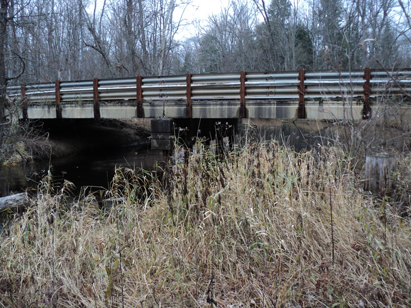
Inlet
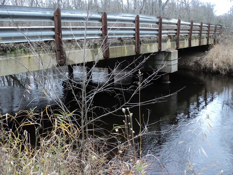
Outlet
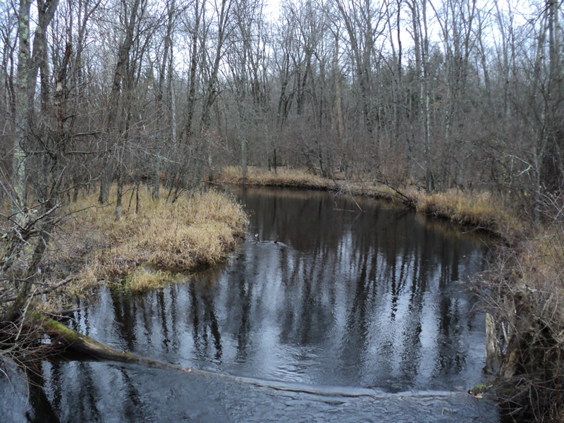
Upstream Conditions
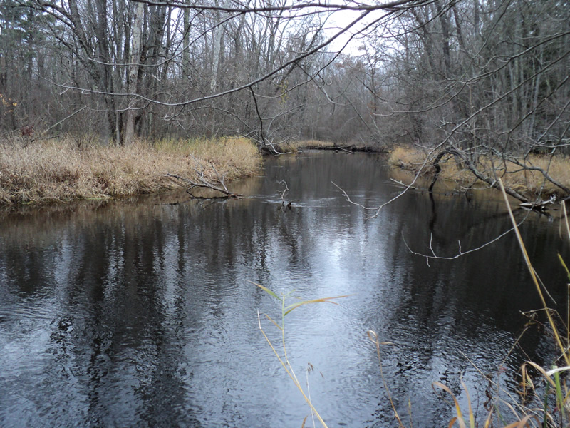
Downstream Conditions
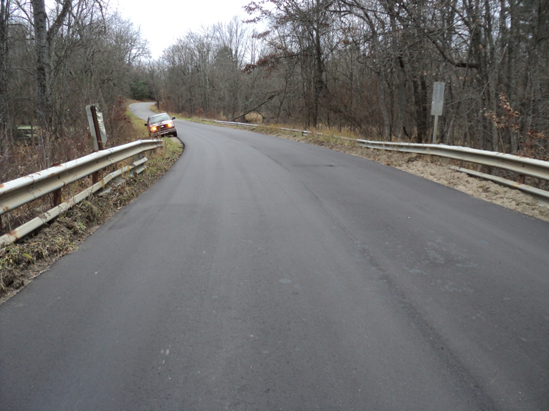
Road Approach - Left
Road Approach - Right
Crossing Information
Type of Crossing: Bridge
Structure Shape: Open Bottom Square/Rectangle
Inlet Type: Projecting
Outlet Type: At Stream Grade
Structure Material: Concrete
Structure Substrate: Mixture
General Conditions: Good
Structure Interior: smooth
Dimensions of Structure: Length 22 ft.
, Width 68 ft.
, Height 9 ft.
Additional Comments
Approaches were recently repaved. No water measurements were taken-river here is big and deep.
Stream Information
Stream Flow: None
Dominant Substrate: Organics
Road Information
Paved
County Road
Road Condition: Good
Road Width at Culvert: 22 ft.
Location of Low Point: Other
Runoff Path: Ditch
Slope: Vertical
Slope: Vertical
Approaches
Left Approach
Length: 200 ft.
Slope: Less Than 1%
Vegetation: Heavy
LS Factor: 0.05
Erosion: 0.0073 tons/year
Right Approach
Length: 400 ft.
Slope: 1% to 5%
Vegetation: Heavy
LS Factor: 0.48
Erosion: 0.1396 tons/year
Erosion Information
Total Erosion at Crossing: 0.1469 tons/year
Extent of Erosion: Moderate
Summary Information
Erosion is an area of concern for this site.
�