Road Stream Crossing Site PM_N017
Pere Marquette River Watershed, Big South Branch tributary
Dickinson Ave
Troy Twp,
Newaygo County
Information collected by:
Site Location
GPS Coordinates: 43.76813
, -86.01849
T16N
R14W
Sec 20
Owned by Private
Fish Passability 0.9
Total Erosion: 0.2905 tons/year
Severity: Moderate
Year Inventoried: 2014
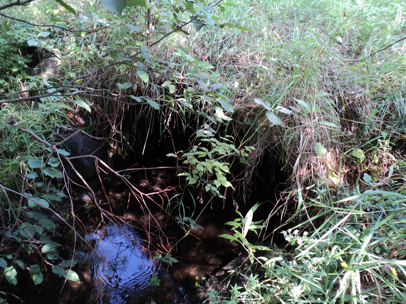
Inlet
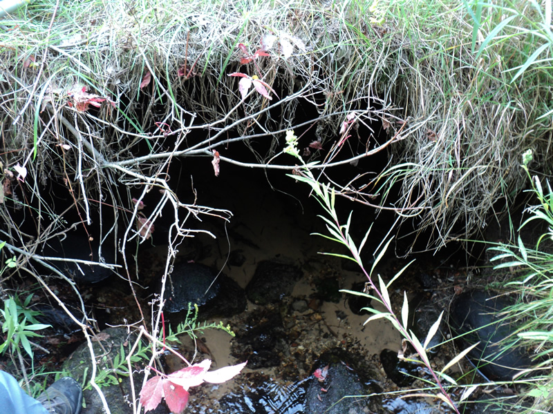
Outlet
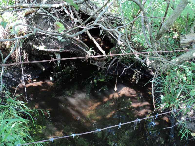
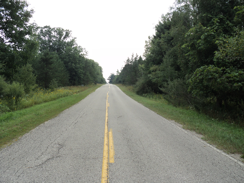
Upstream Conditions
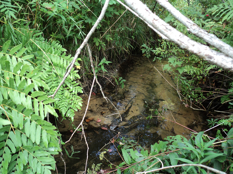
Downstream Conditions
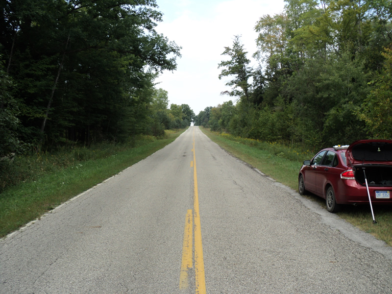
Road Approach - Left
Road Approach - Right
Crossing Information
Type of Crossing: culvert(s)
Number of Structures: 1
Structure Shape: Round
Inlet Type: Projecting
Outlet Type: At Stream Grade
Structure Material: Metal
Structure Substrate: Mixture
General Conditions: Good
Structure Interior: corrugated
Dimensions of Structure: Length 35 ft.
, Width 4 ft.
, Height 4 ft.
Structure Inlet
Water Depth: 0.5 ft.
Embedded Depth of Structure: 0.5 ft.
Water Velocity*: 0.5 ft./sec.
Structure Outlet
Water Depth: 0.3 ft.
Embedded Depth of Structure: 0.7 ft.
Water Velocity*: 1.3 ft./sec.
*Water Velocities were measured 0.3 ft. below Surface
(with Meter)
Stream Information
Stream Flow: Less than Bankfull
Riffle Information
Water Depth: 0.3 ft.
Bankfull Width: 5.5 ft.
Wetted Width: 5 ft.
Water Velocity: 0.7 ft./sec.
(Measured with Meter)
Dominant Substrate: Sand
Road Information
Paved
County Road
Road Condition: Fair
Road Width at Culvert: 21 ft.
Location of Low Point: At Stream
Runoff Path: Ditch
Embankments
Upstream
Fill Depth: 0.5 ft.
Slope: More than 1:2
Downstream
Fill Depth: 0.5 ft.
Slope: More than 1:2
Approaches
Left Approach
Length: 550 ft.
Slope: 1% to 5%
Vegetation: Heavy
LS Factor: 0.51
Erosion: 0.1947 tons/year
Right Approach
Length: 300 ft.
Slope: 1% to 5%
Vegetation: Heavy
LS Factor: 0.46
Erosion: 0.0958 tons/year
Erosion Information
Total Erosion at Crossing: 0.2905 tons/year
Extent of Erosion: Minor
Summary Information
Fish Passability 0.9
�