Road Stream Crossing Site PM_N018
Pere Marquette River Watershed, Allen Creek
Dickinson Ave
Troy Twp,
Newaygo County
Information collected by:
Site Location
GPS Coordinates: 43.7631367163073
, -86.0185249149799
T16N
R14W
Sec 19
Owned by Private
Federal
Federal
Total Erosion: 0.223 tons/year
Severity: Severe
Year Inventoried: 2014
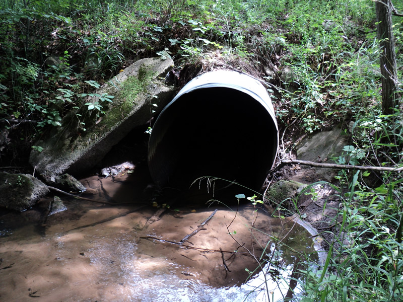
Inlet
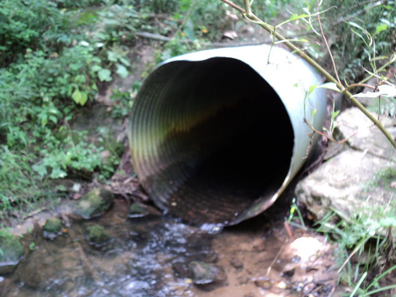
Outlet
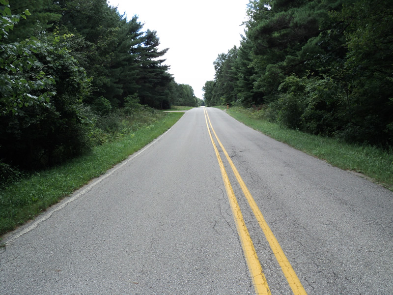
Upstream Conditions
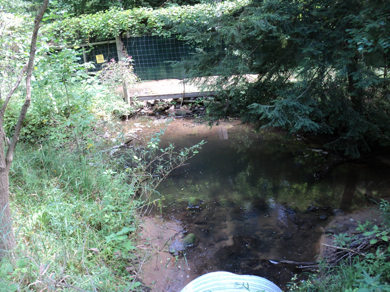
Downstream Conditions
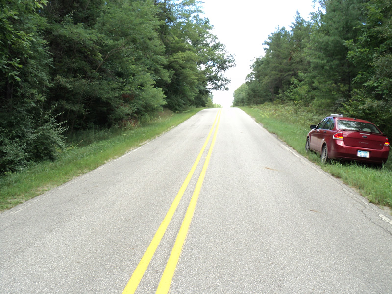
Road Approach - Left
Road Approach - Right
Crossing Information
Type of Crossing: culvert(s)
Number of Structures: 1
Structure Shape: Round
Inlet Type: Projecting
Outlet Type: At Stream Grade
Structure Material: Metal
Structure Substrate: None
General Conditions: Good
Structure Interior: corrugated
Dimensions of Structure: Length 60 ft.
, Width 4 ft.
, Height 4 ft.
Structure Inlet
Water Depth: 0.5 ft.
Water Velocity*: 0.4 ft./sec.
Structure Outlet
Water Depth: 0.2 ft.
Water Velocity*: 3.2 ft./sec.
*Water Velocities were measured 0.4 ft. below Surface
(with Meter)
Stream Information
Stream Flow: Less than 1/2 Bankfull
Scour Pool: Length 18 ft.
, Width 18 ft.
, Depth 1.5 ft.
Riffle Information
Water Depth: 0.1 ft.
Bankfull Width: 11 ft.
Wetted Width: 6 ft.
Water Velocity: 0.6 ft./sec.
(Measured with Meter)
Dominant Substrate: Sand
Road Information
Paved
County Road
Road Condition: Good
Road Width at Culvert: 22 ft.
Location of Low Point: At Stream
Runoff Path: Ditch
Embankments
Upstream
Fill Depth: 3 ft.
Slope: 1:2
Downstream
Fill Depth: 3 ft.
Slope: 1:2
Approaches
Left Approach
Length: 180 ft.
Slope: 6% to 10%
Vegetation: Heavy
LS Factor: 1.186
Erosion: 0.1553 tons/year
Right Approach
Length: 215 ft.
Slope: 1% to 5%
Vegetation: Heavy
LS Factor: 0.433
Erosion: 0.0677 tons/year
Erosion Information
Total Erosion at Crossing: 0.223 tons/year
Extent of Erosion: Stabilized
Notes:
old concrete (old headwalls) used to stabilize embankments
Summary Information
Erosion is an area of concern for this site.
�