Road Stream Crossing Site PM_N019
Pere Marquette River Watershed, Freeman Creek tributary
Dickinson Ave
Troy Twp,
Newaygo County
Information collected by:
Site Location
GPS Coordinates: 43.7507820327869
, -86.0189252346754
T16N
R14W
Sec 29
Owned by Private
Federal
Federal
Total Erosion: 0.2796 tons/year
Severity: Moderate
Year Inventoried: 2014
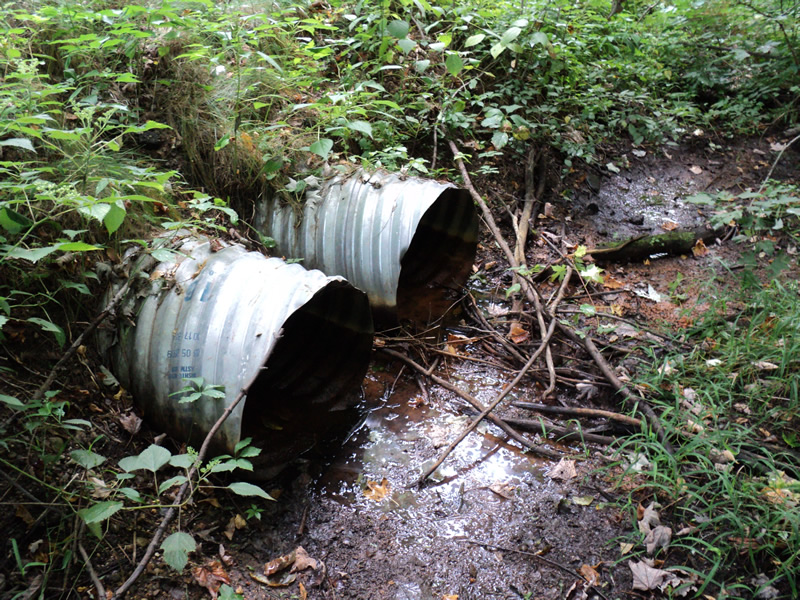
Inlet
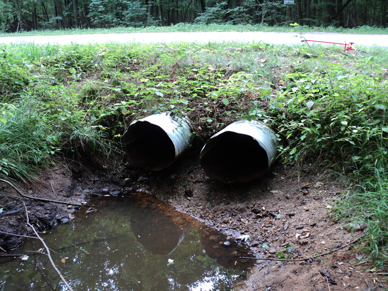
Outlet
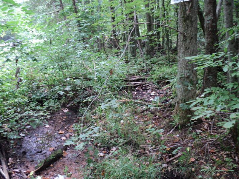
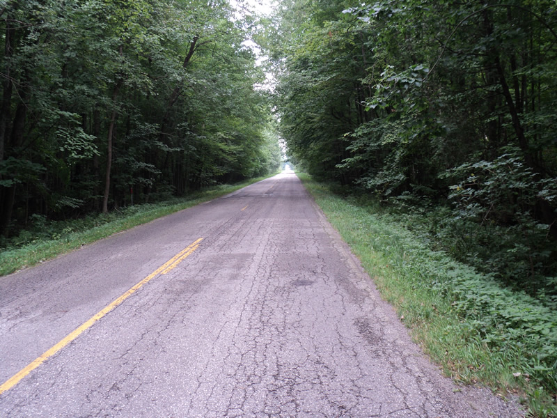
Upstream Conditions
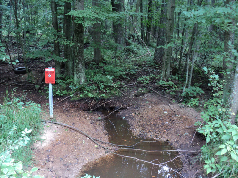
Downstream Conditions
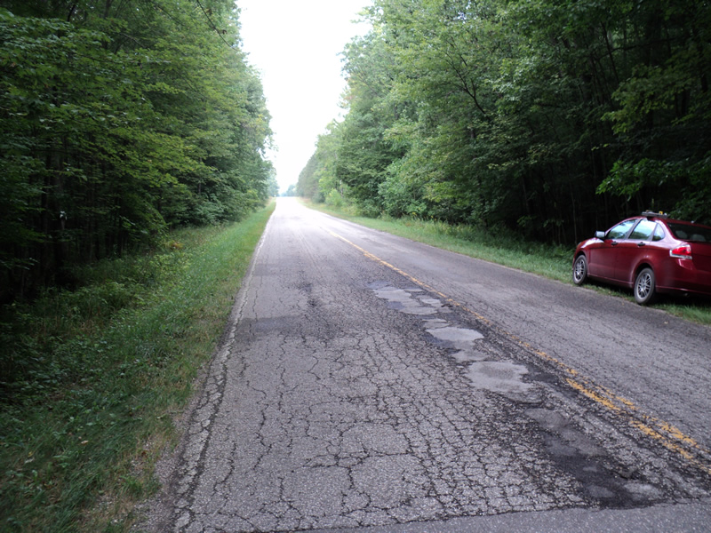
Road Approach - Left
Road Approach - Right
Crossing Information
Type of Crossing: culvert(s)
Number of Structures: 2
Structure Shape: Ellipse
Inlet Type: Projecting
Outlet Type: At Stream Grade
Structure Material: Metal
Structure Substrate: None
General Conditions: Fair
Structure Interior: corrugated
Dimensions of Structure: Length 40 ft.
, Width 2.2 ft.
, Height 1.8 ft.
Water Depth: 0 ft.
Water Velocity*: 0 ft./sec.
Water Depth: 0 ft.
Water Velocity*: 0 ft./sec.
*Water Velocities were measured at the Surface
(with Meter)
Additional Comments
Drains a large surrounding swamp
Stream Information
Stream Flow: None
Scour Pool: Length 8 ft.
, Width 8 ft.
, Depth 0.8 ft.
Riffle Information
Water Depth: 0 ft.
Water Velocity: 0 ft./sec.
(Measured with Meter)
Dominant Substrate: Sand
Road Information
Paved
County Road
Road Condition: Fair
Road Width at Culvert: 22 ft.
Location of Low Point: At Stream
Runoff Path: Ditch
Embankments
Upstream
Fill Depth: 1.8 ft.
Slope: 1:1
Downstream
Fill Depth: 1.5 ft.
Slope: 1:1
Approaches
Left Approach
Length: 700 ft.
Slope: 1% to 5%
Vegetation: Heavy
LS Factor: 0.535
Erosion: 0.2724 tons/year
Right Approach
Length: 200 ft.
Slope: Less Than 1%
Vegetation: Heavy
LS Factor: 0.05
Erosion: 0.0073 tons/year
Erosion Information
Total Erosion at Crossing: 0.2796 tons/year
Extent of Erosion: Moderate
Summary Information
Erosion is an area of concern for this site.
�