Road Stream Crossing Site PM_N020
Pere Marquette River Watershed, Freeman Creek
13 Mile Rd
Troy Twp,
Newaygo County
Information collected by:
Site Location
GPS Coordinates: 43.7426124664006
, -86.0069049149752
T16N
R14W
Sec 29
Owned by Private
Federal
Federal
Perch Height: 0.3 ft.
Total Erosion: 0.17 tons/year
Severity: Severe
Year Inventoried: 2014
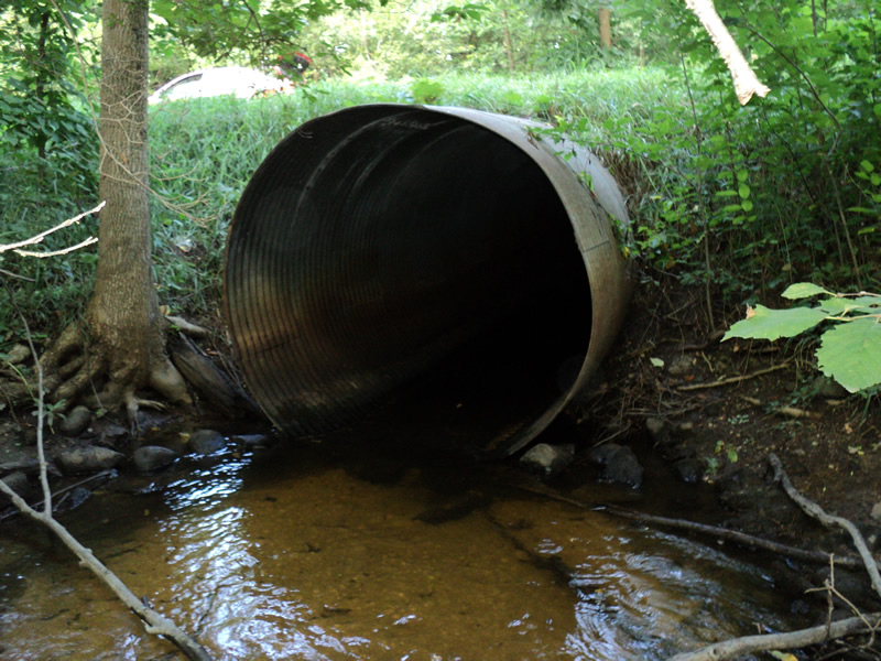
Inlet
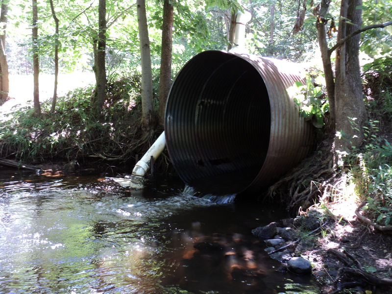
Outlet
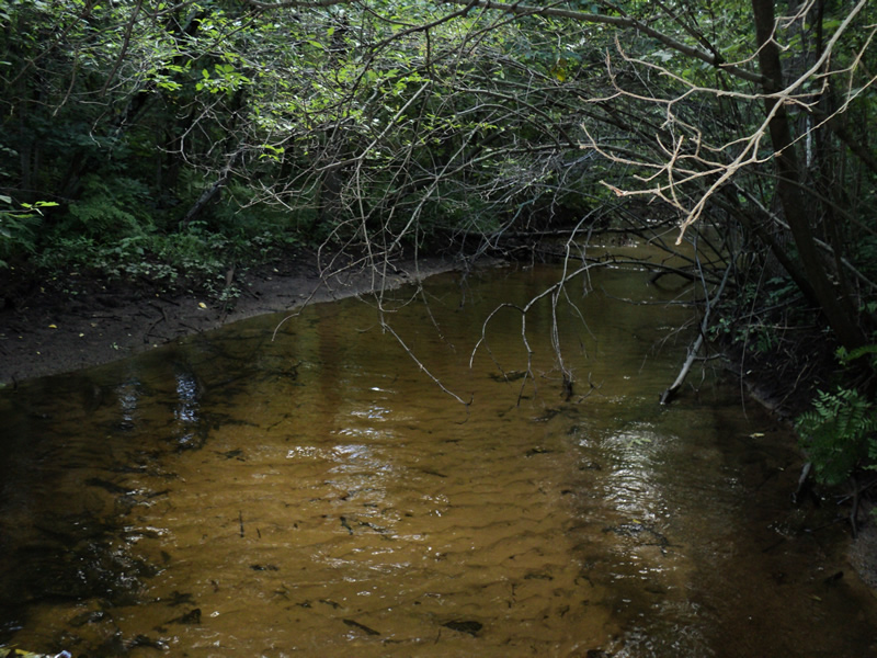
Upstream Conditions
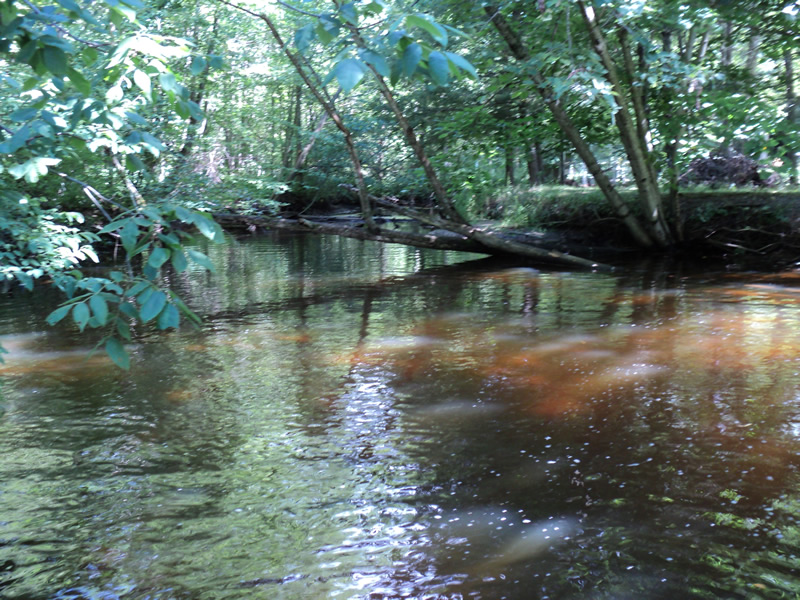
Downstream Conditions
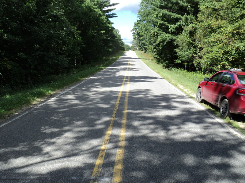
Road Approach - Left
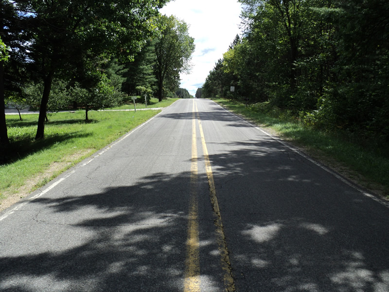
Road Approach - Right
Crossing Information
Type of Crossing: culvert(s)
Number of Structures: 1
Structure Shape: Round
Inlet Type: Projecting
Outlet Type: Freefall into Pool
Structure Material: Metal
Structure Substrate: None
General Conditions: Poor
Structure Interior: corrugated
Structure is Rusted through
Dimensions of Structure: Length 48 ft.
, Width 6 ft.
, Height 6 ft.
Perch Height: 0.3 ft.
Structure Inlet
Water Depth: 0.5 ft.
Water Velocity*: 2.1 ft./sec.
Structure Outlet
Water Depth: 0.5 ft.
Water Velocity*: 4.4 ft./sec.
*Water Velocities were measured 0.5 ft. below Surface
(with Meter)
Additional Comments
large pool at outlet
Stream Information
Stream Flow: Less than 1/2 Bankfull
Scour Pool: Length 40 ft.
, Width 40 ft.
, Depth 4 ft.
Riffle Information
Water Depth: 0.4 ft.
Bankfull Width: 18 ft.
Wetted Width: 14 ft.
Water Velocity: 1.1 ft./sec.
(Measured with Meter)
Dominant Substrate: Sand
Road Information
Paved
County Road
Road Condition: Good
Road Width at Culvert: 20 ft.
Location of Low Point: Other
Runoff Path: Ditch
Embankments
Upstream
Fill Depth: 0.5 ft.
Slope: More than 1:2
Downstream
Fill Depth: 0.7 ft.
Slope: More than 1:2
Approaches
Left Approach
Length: 200 ft.
Slope: Less Than 1%
Vegetation: Heavy
LS Factor: 0.05
Erosion: 0.0066 tons/year
Right Approach
Length: 180 ft.
Slope: 6% to 10%
Vegetation: Heavy
LS Factor: 1.186
Erosion: 0.1411 tons/year
Erosion Information
Total Erosion at Crossing: 0.17 tons/year
Extent of Erosion: Moderate
Location of Erosion | Erosion Dimensions | Eroded Material | Material Eroded | Total Erosion | ||
facing downstream | Length | Width | Depth | Reaching Stream? | (tons/year) | |
Right Upstream Embankment |
2 ft. |
1 ft. |
0.3 ft. |
yes |
Loam |
0.0037 |
Left Upstream Embankment |
2 ft. |
1 ft. |
0.3 ft. |
yes |
Loam |
0.0037 |
Right Downstream Embankment |
6 ft. |
6 ft. |
0.2 ft. |
yes |
Loam |
0.0074 |
Left Downstream Embankment |
6 ft. |
6 ft. |
0.2 ft. |
yes |
Loam |
0.0074 |
Summary Information
Fish Passage is an area of concern for this site.
perched outlet and large scour pool
A future visit to this site is recommended.
see above
�