Road Stream Crossing Site PM_N021
Pere Marquette River Watershed, Freeman Creek
Dickinson Ave
Troy Twp,
Newaygo County
Information collected by:
Site Location
GPS Coordinates: 43.7373570027881
, -86.0192229598761
T16N
R14W
Sec 31
Owned by Private
Total Erosion: 0.3058 tons/year
Severity: Severe
Year Inventoried: 2014
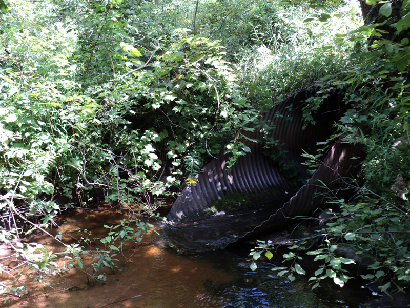
Inlet
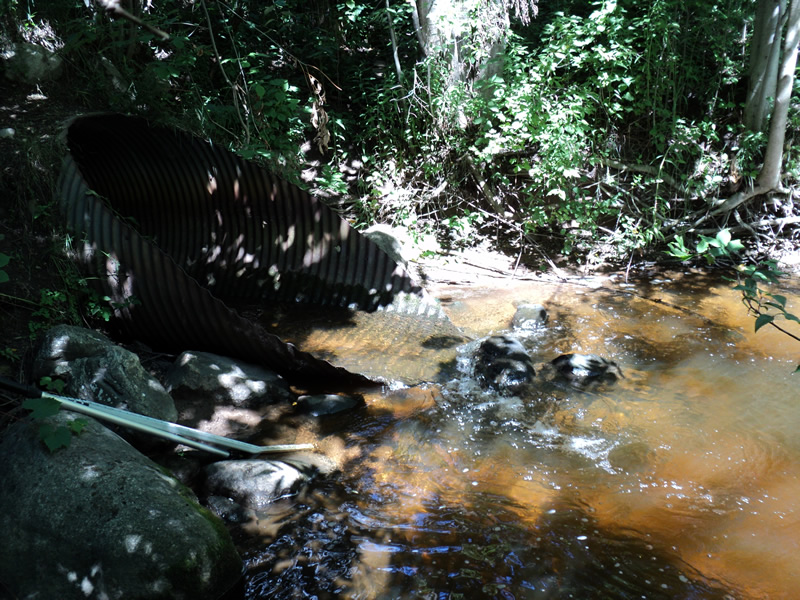
Outlet
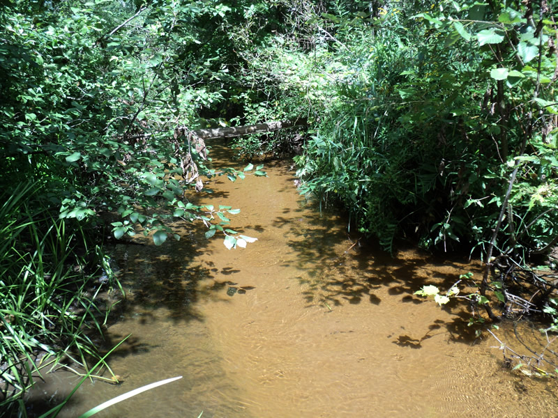
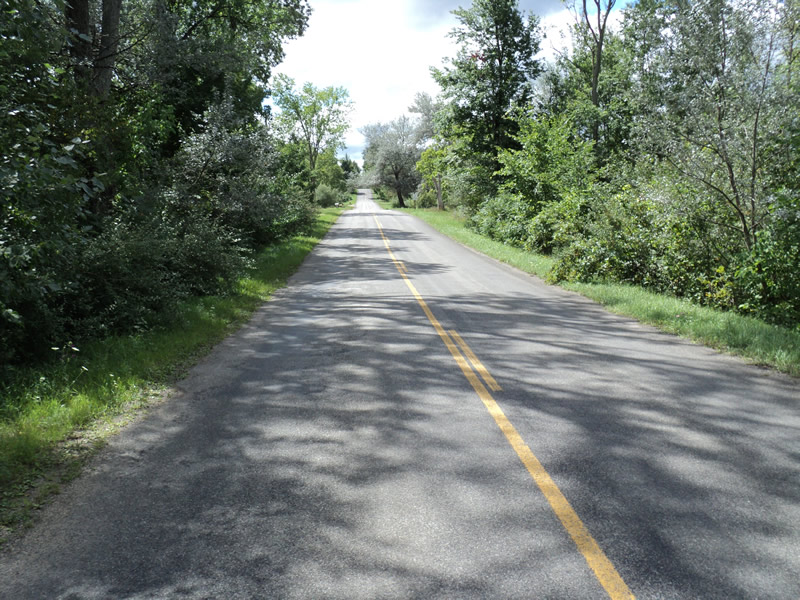
Upstream Conditions
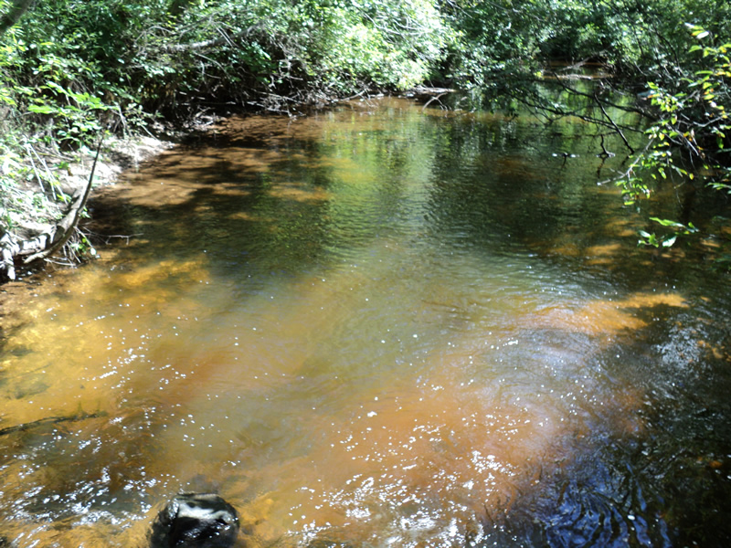
Downstream Conditions
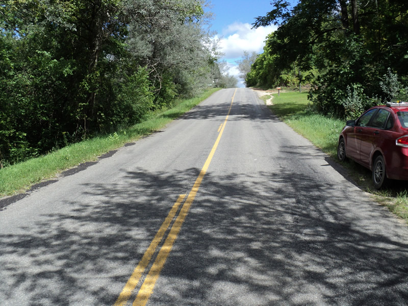
Road Approach - Left
Road Approach - Right
Crossing Information
Type of Crossing: culvert(s)
Number of Structures: 1
Structure Shape: Round
Inlet Type: Mitered
Outlet Type: At Stream Grade
Structure Material: Metal
Structure Substrate: None
General Conditions: Fair
Structure Interior: corrugated
Dimensions of Structure: Length 65 ft.
, Width 5 ft.
, Height 5 ft.
Structure Inlet
Water Depth: 0.4 ft.
Water Velocity*: 4.1 ft./sec.
Structure Outlet
Water Depth: 0.4 ft.
Water Velocity*: 3.5 ft./sec.
*Water Velocities were measured 0.2 ft. below Surface
(with Meter)
Stream Information
Stream Flow: Less than 1/2 Bankfull
Scour Pool: Length 20 ft.
, Width 25 ft.
, Depth 3.5 ft.
Riffle Information
Water Depth: 0.3 ft.
Bankfull Width: 11 ft.
Wetted Width: 7 ft.
Water Velocity: 0.8 ft./sec.
(Measured with Meter)
Dominant Substrate: Sand
Road Information
Paved
County Road
Road Condition: Good
Road Width at Culvert: 22 ft.
Location of Low Point: At Stream
Runoff Path: Ditch
Embankments
Upstream
Fill Depth: 5 ft.
Slope: 1:1.5
Downstream
Fill Depth: 5.5 ft.
Slope: 1:1.5
Approaches
Left Approach
Length: 220 ft.
Slope: 6% to 10%
Vegetation: Heavy
LS Factor: 1.266
Erosion: 0.2026 tons/year
Right Approach
Length: 165 ft.
Slope: 1% to 5%
Vegetation: Heavy
LS Factor: 0.409
Erosion: 0.0491 tons/year
Erosion Information
Total Erosion at Crossing: 0.3058 tons/year
Extent of Erosion: Moderate
Location of Erosion | Erosion Dimensions | Eroded Material | Material Eroded | Total Erosion | ||
facing downstream | Length | Width | Depth | Reaching Stream? | (tons/year) | |
Left Upstream Streambank |
3 ft. |
1 ft. |
0.4 ft. |
yes |
Loam |
0.0074 |
Left Downstream Embankment |
7 ft. |
6 ft. |
0.2 ft. |
yes |
Loam |
0.0086 |
Right Downstream Embankment |
7 ft. |
6 ft. |
0.2 ft. |
yes |
Loam |
0.0086 |
Right Downstream Embankment |
8 ft. |
1 ft. |
0.6 ft. |
yes |
Loam |
0.0296 |
Summary Information
Fish Passage is an area of concern for this site.
�