Road Stream Crossing Site PM_N022
Pere Marquette River Watershed, Freeman Creek
13 Mile Rd
Troy Twp,
Newaygo County
Information collected by:
Site Location
GPS Coordinates: 43.74321
, -85.64325
T16N
R14W
Sec 29
Owned by Private
Federal
Federal
Fish Passability 0
Perch Height: 0.1 ft.
Total Erosion: 0.1849 tons/year
Severity: Severe
Year Inventoried: 2014
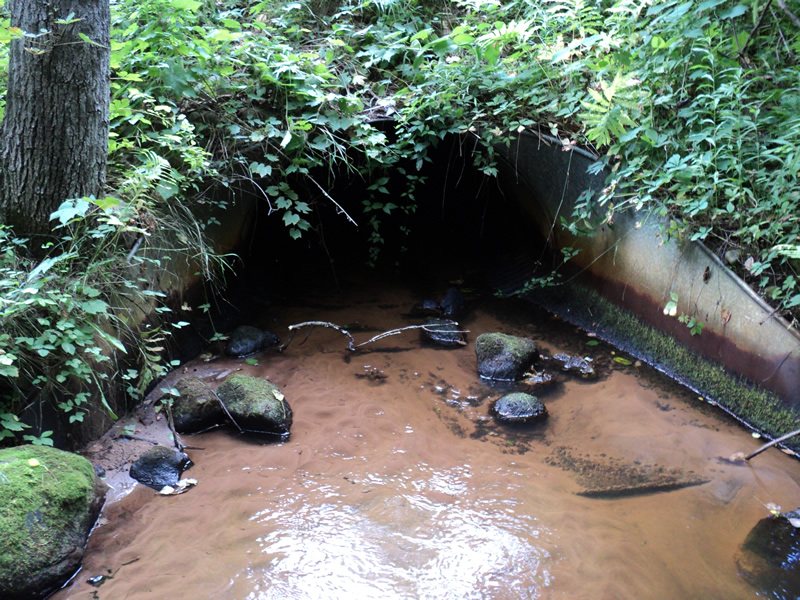
Inlet
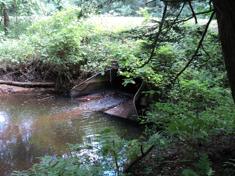
Outlet
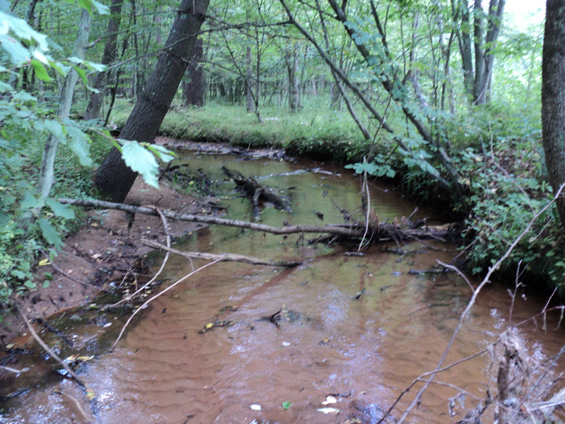
Upstream Conditions
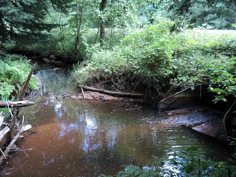
Downstream Conditions
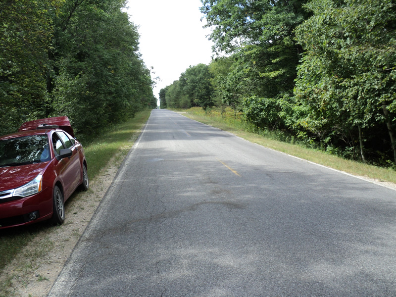
Road Approach - Left
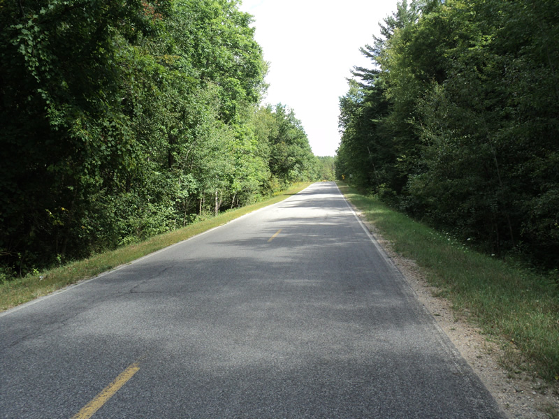
Road Approach - Right
Crossing Information
Type of Crossing: culvert(s)
Number of Structures: 1
Structure Shape: Pipe Arch
Inlet Type: Apron
Outlet Type: Outlet Apron
Structure Material: Metal
Structure Substrate: None
General Conditions: Fair
Structure Interior: corrugated
Dimensions of Structure: Length 55 ft.
, Width 5 ft.
, Height 3.5 ft.
Perch Height: 0.1 ft.
Structure Inlet
Water Depth: 0.3 ft.
Water Velocity*: 0.9 ft./sec.
Structure Outlet
Water Depth: 0.1 ft.
Water Velocity*: 4 ft./sec.
*Water Velocities were measured 0.1 ft. below Surface
(with Meter)
Stream Information
Stream Flow: Less than Bankfull
Scour Pool: Length 20 ft.
, Width 15 ft.
, Depth 2 ft.
Riffle Information
Water Depth: 0.3 ft.
Bankfull Width: 12 ft.
Wetted Width: 8 ft.
Water Velocity: 0.6 ft./sec.
(Measured with Meter)
Dominant Substrate: Sand
Road Information
Paved
County Road
Road Condition: Good
Road Width at Culvert: 23 ft.
Location of Low Point: At Stream
Runoff Path: Ditch
Embankments
Upstream
Fill Depth: 5 ft.
Slope: 1:1.5
Downstream
Fill Depth: 5 ft.
Slope: 1:1.5
Approaches
Left Approach
Length: 240 ft.
Slope: 1% to 5%
Vegetation: Heavy
LS Factor: 0.438
Erosion: 0.0799 tons/year
Right Approach
Length: 300 ft.
Slope: 1% to 5%
Vegetation: Heavy
LS Factor: 0.46
Erosion: 0.1049 tons/year
Erosion Information
Total Erosion at Crossing: 0.1849 tons/year
Extent of Erosion: Minor
Notes: lots of sand deposited upstream
Summary Information
Fish Passability 0
Erosion is an area of concern for this site.
�