Road Stream Crossing Site PM_N023
Pere Marquette River Watershed, Big South Branch Pere Marquette
11 Mile Rd
Beaver Twp,
Newaygo County
Information collected by:
Site Location
GPS Coordinates: 43.712877267603
, -85.9542156010866
T15N
R14W
Sec 2
Owned by Private
Federal
Federal
Total Erosion: 0.3794 tons/year
Severity: Moderate
Year Inventoried: 2014
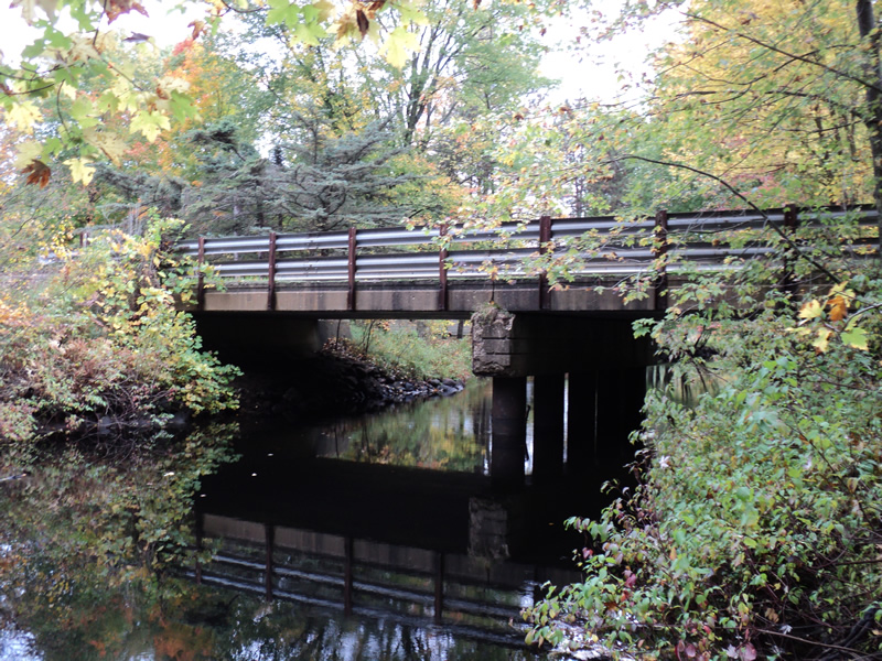
Inlet
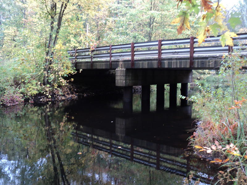
Outlet
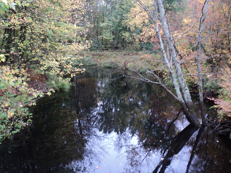
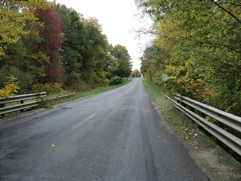
Upstream Conditions
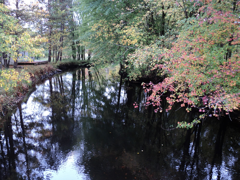
Downstream Conditions
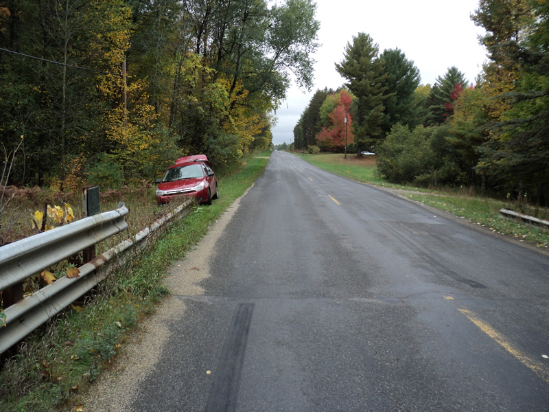
Road Approach - Left
Road Approach - Right
Crossing Information
Type of Crossing: Bridge
Structure Shape: Open Bottom Square/Rectangle
Inlet Type: Projecting
Outlet Type: At Stream Grade
Structure Material: Concrete
Structure Substrate: Mixture
General Conditions: Good
Structure Interior: smooth
Dimensions of Structure: Length 26 ft.
, Width 70 ft.
, Height 10 ft.
Structure Inlet
Water Depth: 3.6 ft.
Water Velocity*: 0.6 ft./sec.
Structure Outlet
Water Depth: 3.2 ft.
Water Velocity*: 0.4 ft./sec.
*Water Velocities were measured 3 ft. below Surface
(with Meter)
Stream Information
Stream Flow: Bankfull
Riffle Information
Water Depth: 1.5 ft.
Bankfull Width: 40 ft.
Wetted Width: 40 ft.
Water Velocity: 0.9 ft./sec.
(Measured with Meter)
Dominant Substrate: Sand
Road Information
Paved
County Road
Road Condition: Good
Road Width at Culvert: 26 ft.
Location of Low Point: At Stream
Runoff Path: Ditch
Slope: Vertical
Slope: Vertical
Approaches
Left Approach
Length: 420 ft.
Slope: 1% to 5%
Vegetation: Heavy
LS Factor: 0.484
Erosion: 0.1747 tons/year
Right Approach
Length: 480 ft.
Slope: 1% to 5%
Vegetation: Heavy
LS Factor: 0.496
Erosion: 0.2046 tons/year
Erosion Information
Total Erosion at Crossing: 0.3794 tons/year
Extent of Erosion: Minor
Summary Information
Erosion is an area of concern for this site.
�