Road Stream Crossing Site PM_N026
Pere Marquette River Watershed, Tank Creek
Croswell Ave
Merrill Twp,
Newaygo County
Information collected by:
Site Location
GPS Coordinates: 43.67671
, -85.90082
T15N
R13W
Sec 19
Owned by Private
Federal
Federal
Total Erosion: 0.5698 tons/year
Severity: Restored
Year Inventoried: 2014
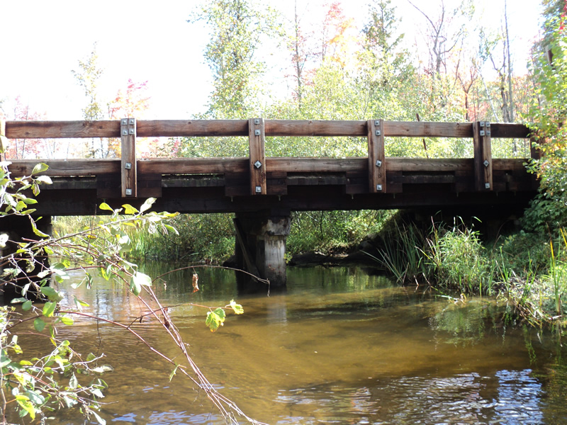
Inlet
Outlet
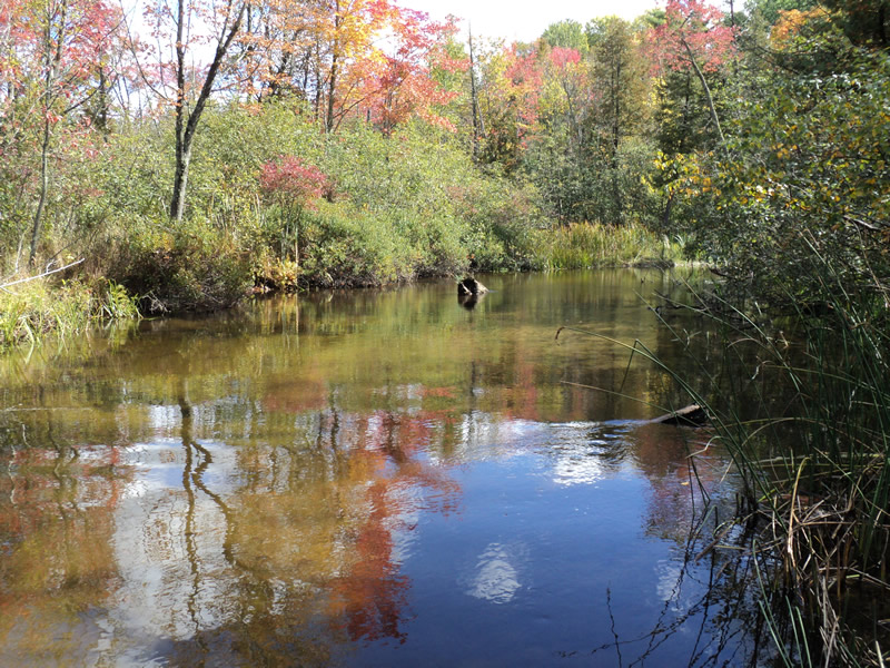
Upstream Conditions
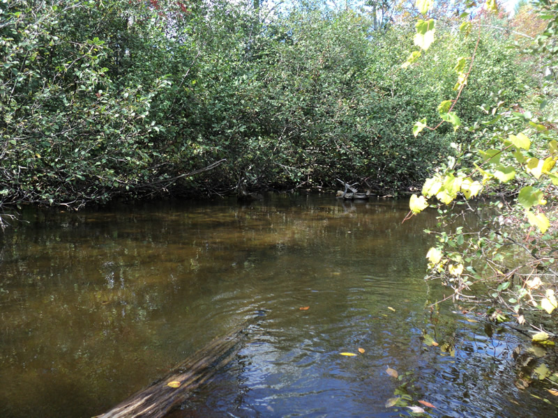
Downstream Conditions
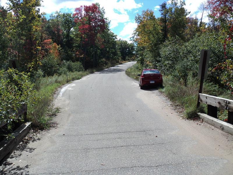
Road Approach - Left
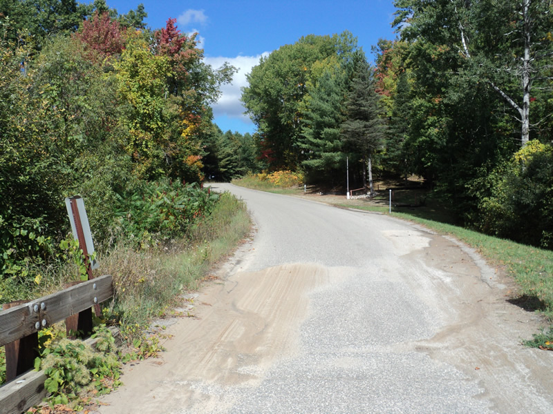
Road Approach - Right
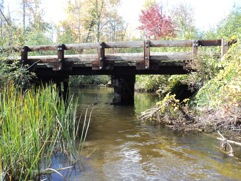
Crossing Information
Type of Crossing: Bridge
Structure Shape: Open Bottom Square/Rectangle
Inlet Type: Projecting
Outlet Type: At Stream Grade
Structure Material: Wood
Structure Substrate: Mixture
General Conditions: New
Structure Interior: smooth
Dimensions of Structure: Length 17 ft.
, Width 46 ft.
, Height 6 ft.
Structure Inlet
Water Depth: 1.4 ft.
Water Velocity*: 1.2 ft./sec.
Structure Outlet
Water Depth: 1.5 ft.
Water Velocity*: 1.2 ft./sec.
*Water Velocities were measured 1.4 ft. below Surface
(with Meter)
Additional Comments
Paved curbed approaches Salmon present
Stream Information
Stream Flow: Bankfull
Riffle Information
Water Depth: 0.8 ft.
Bankfull Width: 28 ft.
Wetted Width: 28 ft.
Water Velocity: 1.4 ft./sec.
(Measured with Meter)
Dominant Substrate: Sand
Road Information
Paved
County Road
Road Condition: Good
Road Width at Culvert: 15 ft.
Location of Low Point: At Stream
Runoff Path: Roadway
Slope: Vertical
Slope: Vertical
Approaches
Left Approach
Length: 420 ft.
Slope: 6% to 10%
Vegetation: Heavy
LS Factor: 1.551
Erosion: 0.323 tons/year
Right Approach
Length: 300 ft.
Slope: 6% to 10%
Vegetation: Heavy
LS Factor: 1.4
Erosion: 0.2083 tons/year
Erosion Information
Total Erosion at Crossing: 0.5698 tons/year
Extent of Erosion: Minor
Notes:
paved approaches had sand in them
Right Approach
150 ft.
1 ft.
0.1 ft.
yes
Sand
0.0165
Summary Information
Erosion is an area of concern for this site.
�