Road Stream Crossing Site PM_N027
Pere Marquette River Watershed, Tank Creek tributary
Lakeshore
Merrill Twp,
Newaygo County
Information collected by:
Site Location
GPS Coordinates: 43.70282
, -85.87499
T15N
R13W
Sec 9
Owned by Private
Fish Passability 0.9
Total Erosion: 0.2789 tons/year
Severity: Minor
Year Inventoried: 2014
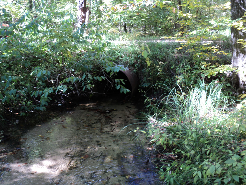
Inlet
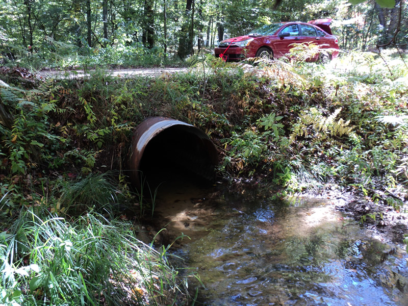
Outlet
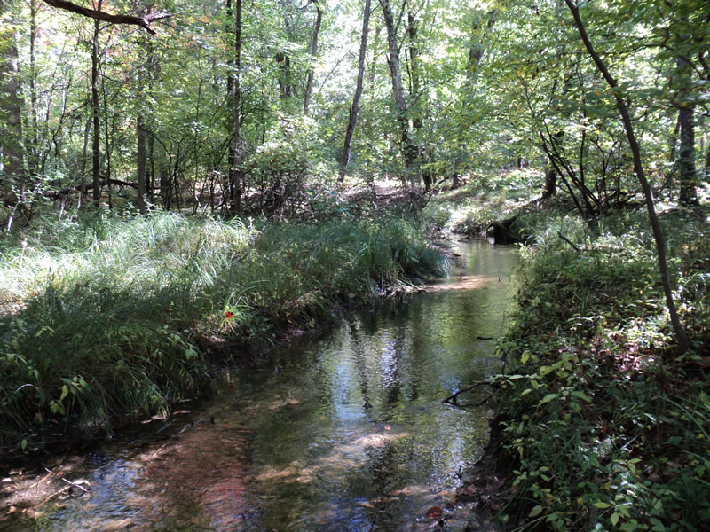
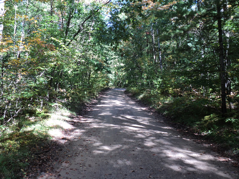
Upstream Conditions
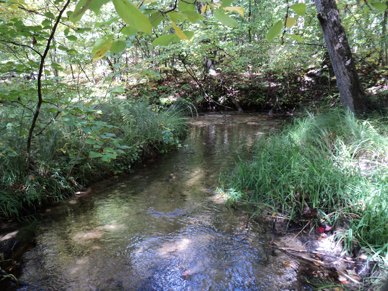
Downstream Conditions
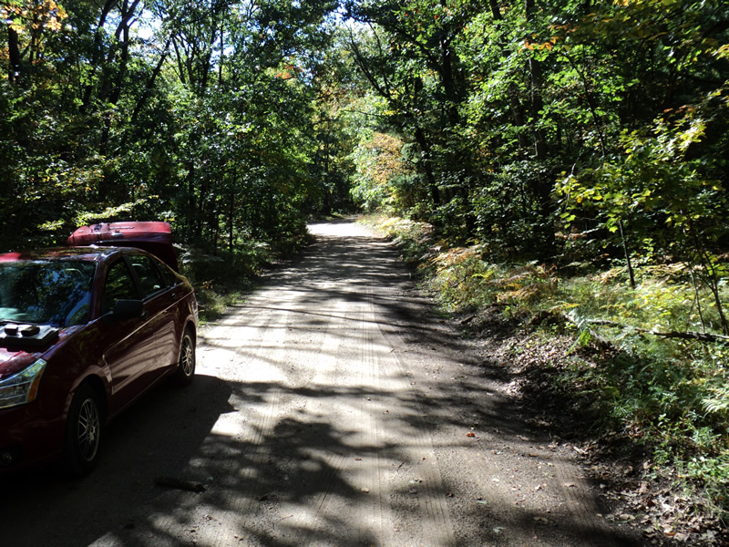
Road Approach - Left
Road Approach - Right
Crossing Information
Type of Crossing: culvert(s)
Number of Structures: 1
Structure Shape: Round
Inlet Type: Projecting
Outlet Type: At Stream Grade
Structure Material: Metal
Structure Substrate: Sand
General Conditions: Good
Structure Interior: corrugated
Dimensions of Structure: Length 30 ft.
, Width 3 ft.
, Height 3 ft.
Structure Inlet
Water Depth: 0.7 ft.
Water Velocity*: 0.9 ft./sec.
Structure Outlet
Water Depth: 0.6 ft.
Water Velocity*: 0.9 ft./sec.
*Water Velocities were measured 0.5 ft. below Surface
(with Meter)
Stream Information
Stream Flow: Less than Bankfull
Riffle Information
Water Depth: 0.2 ft.
Bankfull Width: 8 ft.
Wetted Width: 6 ft.
Water Velocity: 1.2 ft./sec.
(Measured with Meter)
Dominant Substrate: Sand
Road Information
Gravel
County Road
Road Condition: Fair
Road Width at Culvert: 15 ft.
Location of Low Point: Other
Runoff Path: Roadway
Embankments
Upstream
Fill Depth: 1 ft.
Slope: 1:1
Downstream
Fill Depth: 0.8 ft.
Slope: 1:1
Approaches
Left Approach
Length: 150 ft.
Slope: Less Than 1%
Vegetation: Heavy
LS Factor: 0.05
Erosion: 0.031 tons/year
Right Approach
Length: 150 ft.
Slope: 1% to 5%
Vegetation: Heavy
LS Factor: 0.4
Erosion: 0.2479 tons/year
Erosion Information
Total Erosion at Crossing: 0.2789 tons/year
Summary Information
Fish Passability 0.9
�