Road Stream Crossing Site PM_N028
Pere Marquette River Watershed, Little South Branch
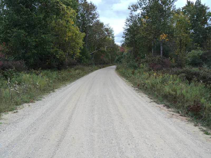
Phlox Rd
Monroe Twp,
Newaygo County
Information collected by:
Site Location
GPS Coordinates: 43.70585
, -85.75404
T15N
R12W
Sec 9
Owned by Federal
Fish Passability 0.5
Total Erosion: 0.5818 tons/year
Severity: Moderate
Year Inventoried: 2014
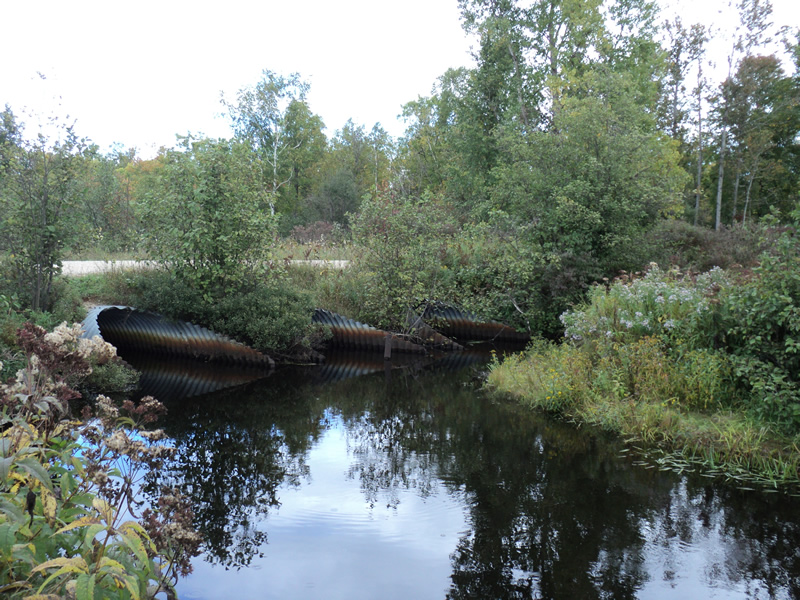
Inlet
Outlet
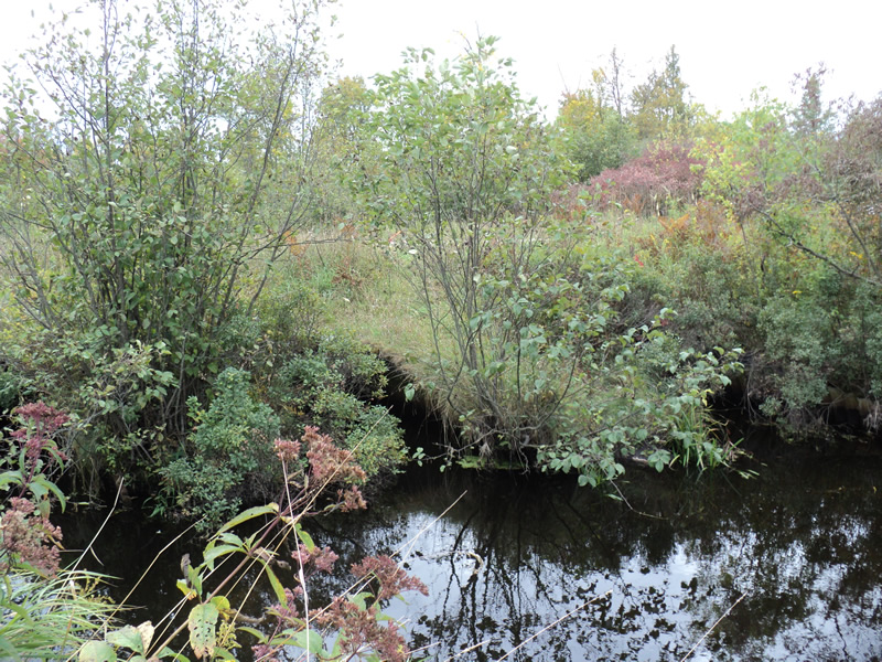
Upstream Conditions
Downstream Conditions

Road Approach - Left
Road Approach - Right
Crossing Information
Type of Crossing: culvert(s)
Number of Structures: 3
Structure Shape: Pipe Arch
Inlet Type: Mitered
Outlet Type: At Stream Grade
Structure Material: Metal
Structure Substrate: None
General Conditions: Good
Multiple Culverts/Spans | ||||
Culvert/Span | Width | Length | Height | Material |
1 |
7 ft. |
55 ft. |
5 ft. |
Metal |
2 |
7 ft. |
55 ft. |
5 ft. |
Metal |
3 |
7 ft. |
55 ft. |
5 ft. |
Metal |
Structure Interior: corrugated
Dimensions of Structure: Length 55 ft.
, Width 7 ft.
, Height 5 ft.
Structure Inlet
Water Depth: 1.5 ft.
Water Velocity*: 0.6 ft./sec.
Structure Outlet
Water Depth: 2 ft.
Water Velocity*: 0.6 ft./sec.
*Water Velocities were measured 1.5 ft. below Surface
(with Meter)
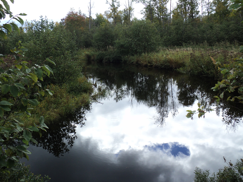
Stream Information
Stream Flow: Bankfull
Riffle Information
Water Depth: 1.4 ft.
Bankfull Width: 27 ft.
Wetted Width: 27 ft.
Water Velocity: 0.5 ft./sec.
(Measured with Meter)
Dominant Substrate: Organics
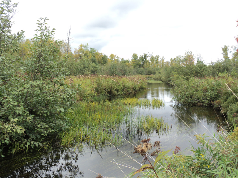
Road Information
Gravel
County Road
Road Condition: Good
Road Width at Culvert: 22 ft.
Location of Low Point: Other
Runoff Path: Roadway
Embankments
Upstream
Fill Depth: 1.5 ft.
Slope: 1:1.5
Downstream
Fill Depth: 2 ft.
Slope: 1:1.5
Approaches
Left Approach
Length: 200 ft.
Slope: Less Than 1%
Vegetation: Heavy
LS Factor: 0.05
Erosion: 0.0606 tons/year
Right Approach
Length: 200 ft.
Slope: 1% to 5%
Vegetation: Heavy
LS Factor: 0.43
Erosion: 0.5212 tons/year
Erosion Information
Total Erosion at Crossing: 0.5818 tons/year
Summary Information
Fish Passability 0.5
These non-native species were observerd at this site: Spotted Knapweed
�