Road Stream Crossing Site PM_N030
Pere Marquette River Watershed, McDuffee Creek
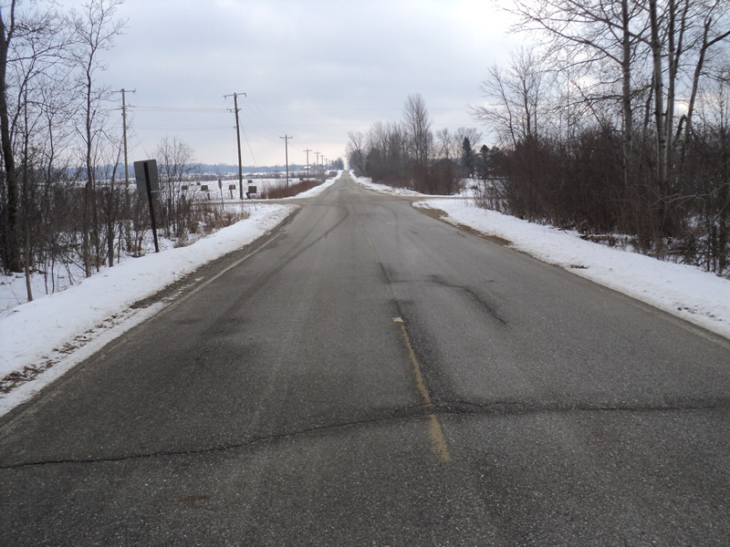
Oak Rd
Home Twp,
Newaygo County
Information collected by:
Site Location
GPS Coordinates: 43.72863
, -85.70123
T16N
R12W
Sec 36
Owned by Private
Fish Passability 0.9
Total Erosion: 0.0139 tons/year
Severity: Minor
Year Inventoried: 2014
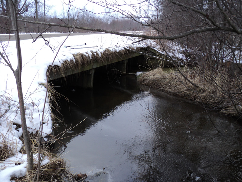
Inlet
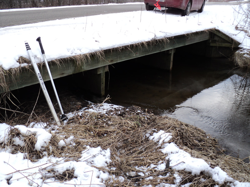
Outlet
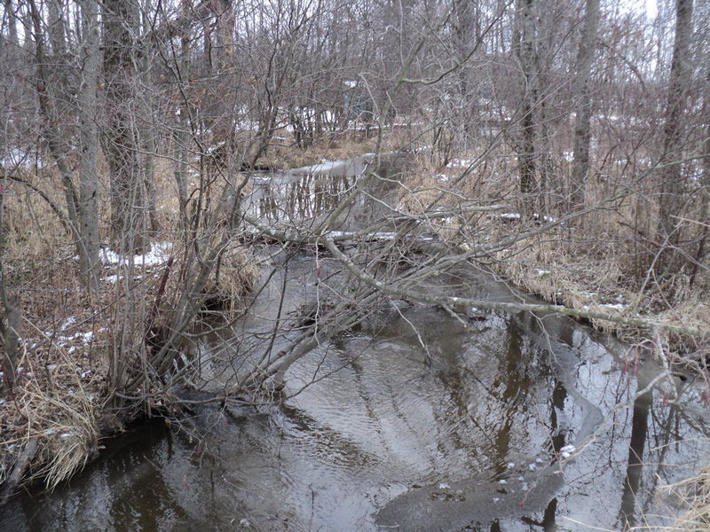
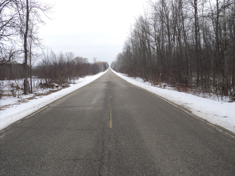
Upstream Conditions
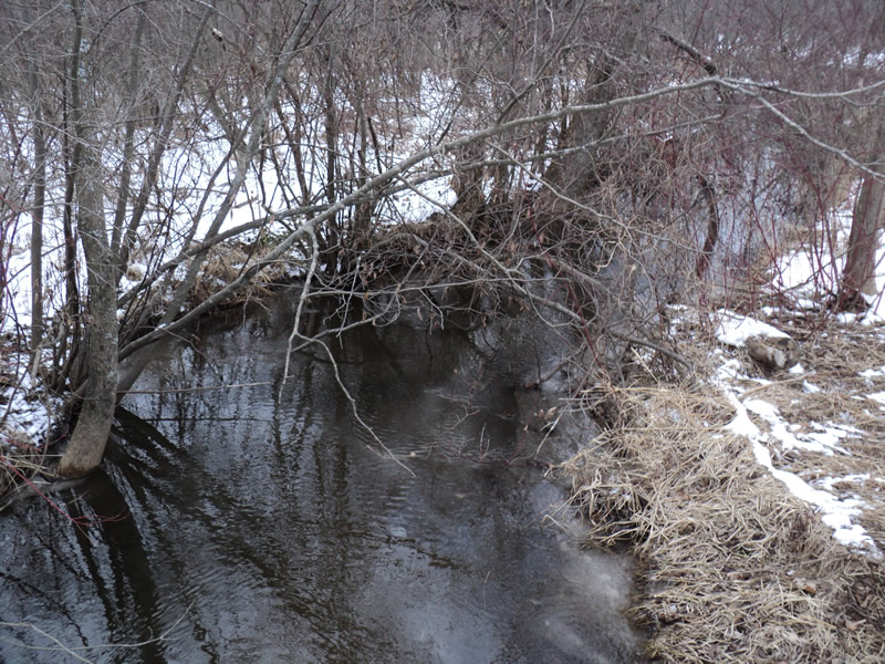
Downstream Conditions
Road Approach - Left
Road Approach - Right
Crossing Information
Type of Crossing: Bridge
Structure Shape: Open Bottom Square/Rectangle
Inlet Type: Wingwall 30-70 Degree
Outlet Type: At Stream Grade
Structure Material: Wood
Structure Substrate: Mixture
General Conditions: Good
Dimensions of Structure: Length 42 ft.
, Width 20 ft.
, Height 3.5 ft.
Structure Inlet
Water Depth: 2 ft.
Water Velocity*: 1 ft./sec.
Structure Outlet
Water Depth: 0.7 ft.
Water Velocity*: 0.7 ft./sec.
Stream Information
Stream Flow: Bankfull
Riffle Information
Water Depth: 0.8 ft.
Bankfull Width: 11 ft.
Wetted Width: 11 ft.
Water Velocity: 0.6 ft./sec.
(Measured with Meter)
Dominant Substrate: Sand
Road Information
Paved
County Road
Road Condition: Good
Road Width at Culvert: 21 ft.
Location of Low Point: Other
Runoff Path: Ditch
Embankments
Upstream
Fill Depth: 0.5 ft.
Slope: Vertical
Downstream
Fill Depth: 0.5 ft.
Slope: Vertical
Approaches
Left Approach
Length: 200 ft.
Slope: Less Than 1%
Vegetation: Heavy
LS Factor: 0.05
Erosion: 0.0069 tons/year
Right Approach
Length: 200 ft.
Slope: Less Than 1%
Vegetation: Heavy
LS Factor: 0.05
Erosion: 0.0069 tons/year
Erosion Information
Total Erosion at Crossing: 0.0139 tons/year
Summary Information
Fish Passability 0.9
�