Road Stream Crossing Site PM_N033
Pere Marquette River Watershed, Ewing Creek
Pine Ave
Monroe Twp,
Newaygo County
Information collected by:
Site Location
GPS Coordinates: 43.72617
, -85.68127
T15N
R12W
Sec 1
Owned by Private
Fish Passability 0.9
Total Erosion: 0.0924 tons/year
Severity: Moderate
Year Inventoried: 2014
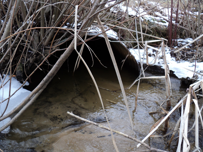
Inlet
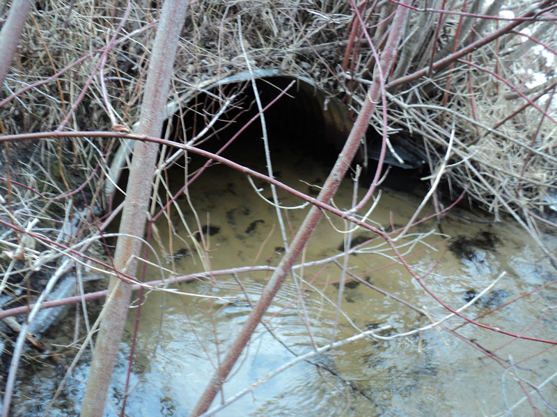
Outlet
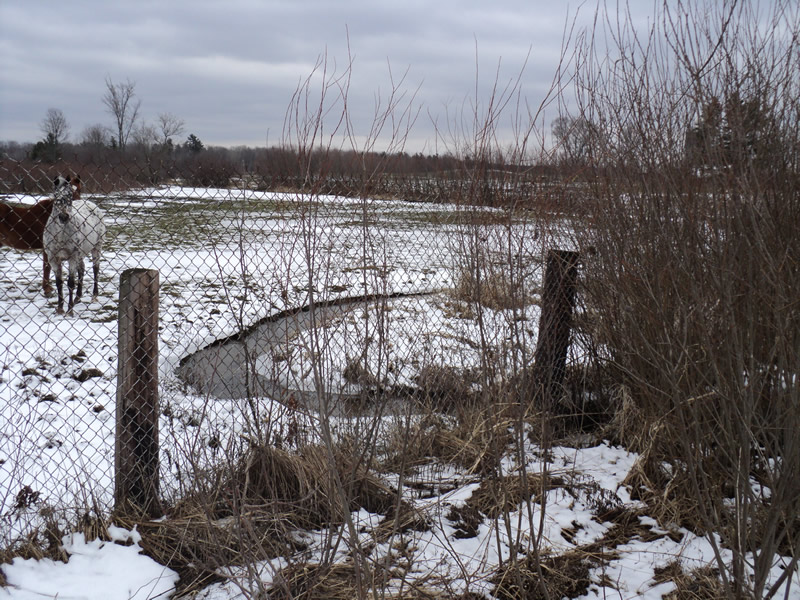
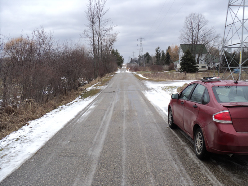
Upstream Conditions
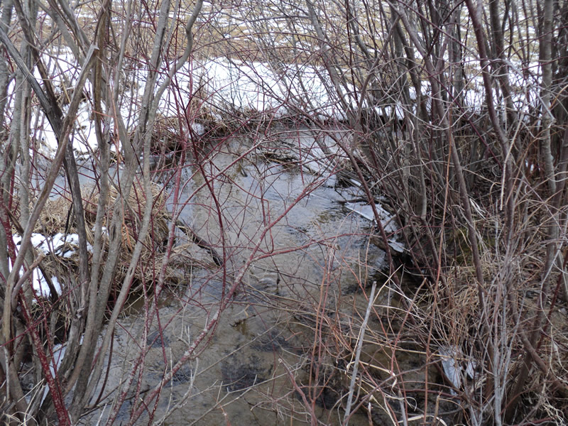
Downstream Conditions
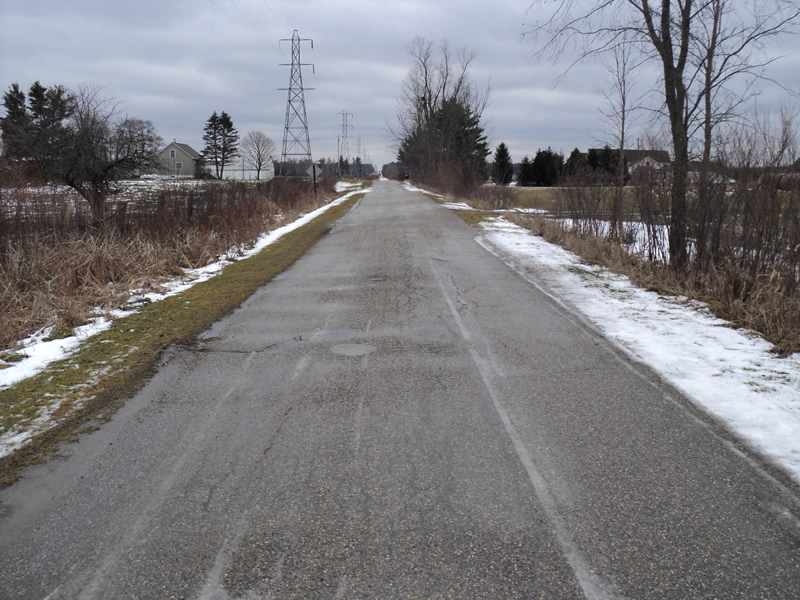
Road Approach - Left
Road Approach - Right
Crossing Information
Type of Crossing: culvert(s)
Number of Structures: 1
Structure Shape: Pipe Arch
Inlet Type: Projecting
Outlet Type: At Stream Grade
Structure Material: Metal
Structure Substrate: Sand
General Conditions: Good
Structure Interior: corrugated
Dimensions of Structure: Length 29 ft.
, Width 3.5 ft.
, Height 2 ft.
Structure Inlet
Water Depth: 0.5 ft.
Water Velocity*: 0.9 ft./sec.
Structure Outlet
Water Depth: 0.5 ft.
Water Velocity*: 0.9 ft./sec.
*Water Velocities were measured 0.5 ft. below Surface
(with Meter)
Additional Comments
upstream passes through a horse pasture
Stream Information
Stream Flow: Bankfull
Riffle Information
Water Depth: 0.6 ft.
Bankfull Width: 5.5 ft.
Wetted Width: 5.5 ft.
Water Velocity: 0.9 ft./sec.
(Measured with Meter)
Dominant Substrate: Sand
Road Information
Paved
County Road
Road Condition: Fair
Road Width at Culvert: 15 ft.
Location of Low Point: At Stream
Runoff Path: Ditch
Embankments
Upstream
Fill Depth: 1.5 ft.
Slope: 1:1.5
Downstream
Fill Depth: 1.2 ft.
Slope: 1:1.5
Approaches
Left Approach
Length: 300 ft.
Slope: 1% to 5%
Vegetation: Heavy
LS Factor: 0.46
Erosion: 0.0684 tons/year
Right Approach
Length: 120 ft.
Slope: 1% to 5%
Vegetation: Heavy
LS Factor: 0.388
Erosion: 0.0231 tons/year
Erosion Information
Total Erosion at Crossing: 0.0924 tons/year
Extent of Erosion: Minor
Erosion is occurring and corrective actions can be installed to address the problem.
Location of Erosion | Erosion Dimensions | Eroded Material | Material Eroded | Total Erosion | ||
facing downstream | Length | Width | Depth | Reaching Stream? | (tons/year) | |
Right Upstream Embankment |
2 ft. |
1 ft. |
0.5 ft. |
yes |
Loam |
0.0009 |
Summary Information
Fish Passability 0.9
�