Road Stream Crossing Site PM_N034
Pere Marquette River Watershed, McDuffee Creek
Pine Ave
Monroe Twp,
Newaygo County
Information collected by:
Site Location
GPS Coordinates: 43.72745
, -85.6814
T15N
R12W
Sec 1
Owned by Private
Fish Passability 0.9
Total Erosion: 0.1928 tons/year
Severity: Moderate
Year Inventoried: 2014
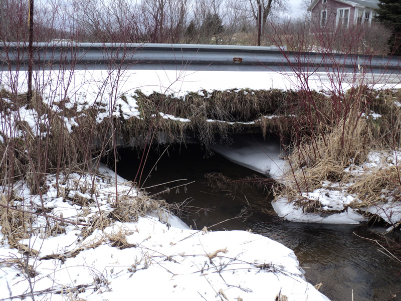
Inlet
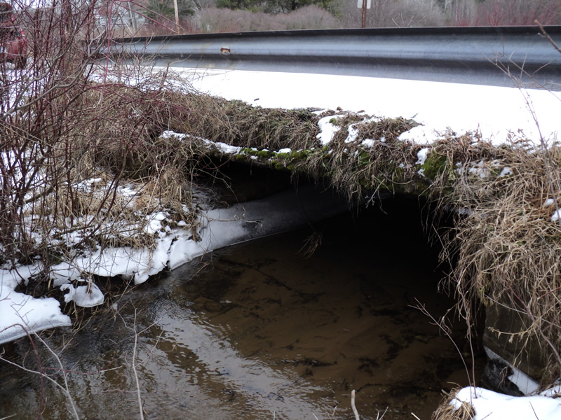
Outlet
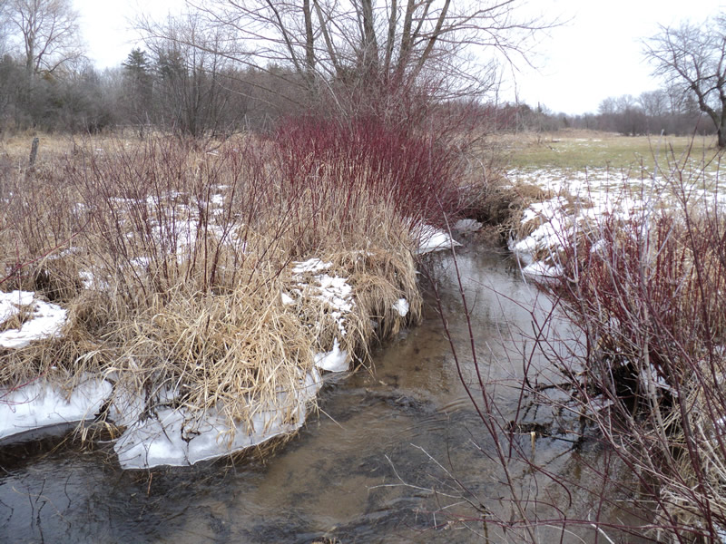
Upstream Conditions
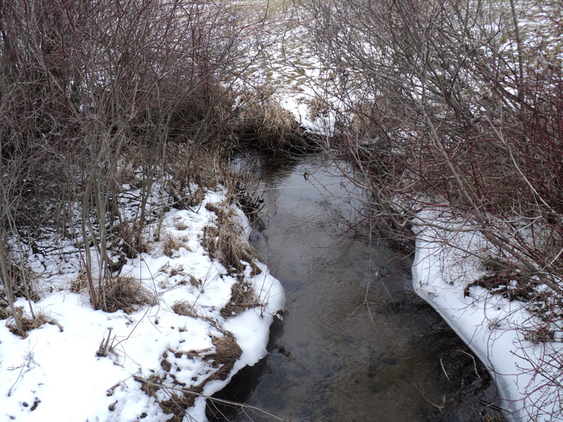
Downstream Conditions
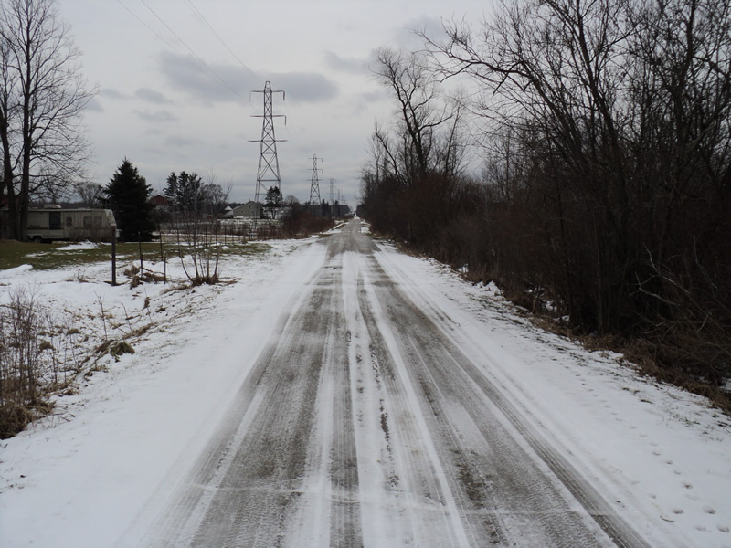
Road Approach - Left
Road Approach - Right
Crossing Information
Type of Crossing: Bridge
Structure Shape: Open Bottom Square/Rectangle
Inlet Type: Projecting
Outlet Type: At Stream Grade
Structure Material: Concrete
Structure Substrate: Sand
General Conditions: Poor
Structure Interior: smooth
Dimensions of Structure: Length 17 ft.
, Width 17 ft.
, Height 4 ft.
Structure Inlet
Water Depth: 1.3 ft.
Water Velocity*: 1 ft./sec.
Structure Outlet
Water Depth: 0.6 ft.
Water Velocity*: 1.6 ft./sec.
*Water Velocities were measured 1 ft. below Surface
(with Meter)
Additional Comments
bridge is deteriorating
Stream Information
Stream Flow: Bankfull
Riffle Information
Water Depth: 0.8 ft.
Bankfull Width: 7 ft.
Wetted Width: 7 ft.
Water Velocity: 1.1 ft./sec.
(Measured with Meter)
Dominant Substrate: Sand
Road Information
Gravel
County Road
Road Condition: Fair
Road Width at Culvert: 10 ft.
Location of Low Point: At Stream
Runoff Path: Ditch
Approaches
Left Approach
Length: 200 ft.
Slope: Less Than 1%
Vegetation: Heavy
LS Factor: 0.05
Erosion: 0.0275 tons/year
Right Approach
Length: 150 ft.
Slope: 1% to 5%
Vegetation: Heavy
LS Factor: 0.4
Erosion: 0.1653 tons/year
Erosion Information
Total Erosion at Crossing: 0.1928 tons/year
Extent of Erosion: Minor
Summary Information
Fish Passability 0.9
�