Road Stream Crossing Site PM_N038
Pere Marquette River Watershed, McDuffee Creek tributary
Cypress Ave
Barton Twp,
Newaygo County
Information collected by:
Site Location
GPS Coordinates: 43.74764
, -85.62257
T16N
R11W
Sec 28
Owned by Private
Total Erosion: 0.5818 tons/year
Severity: Moderate
Year Inventoried: 2014
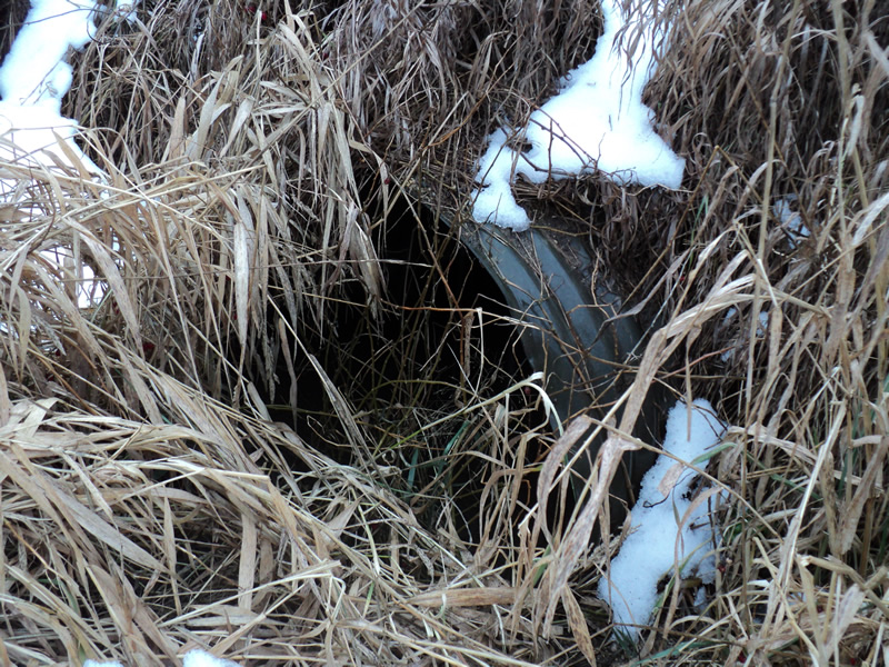
Inlet
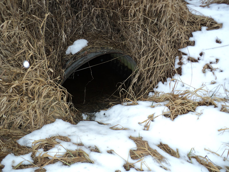
Outlet
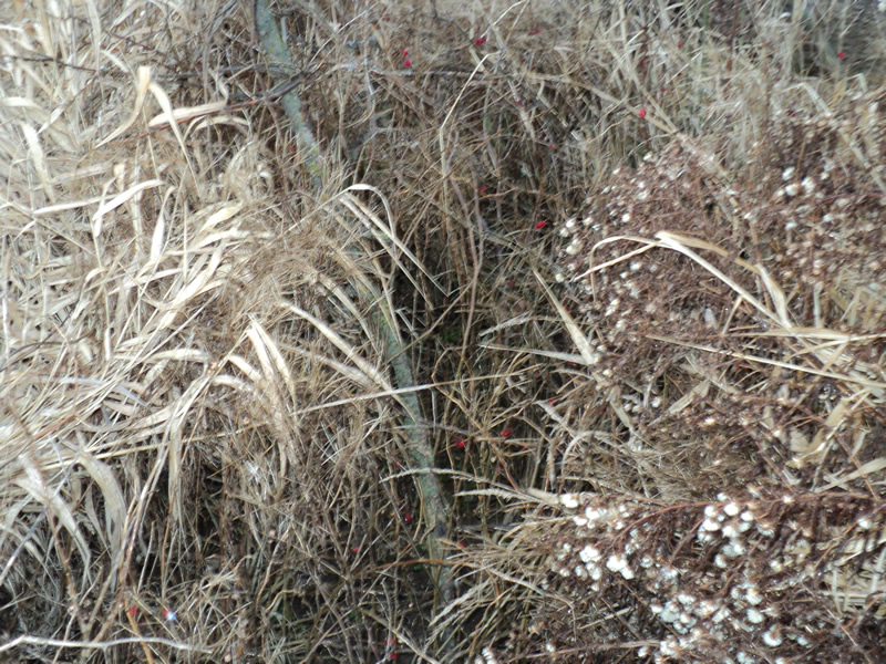
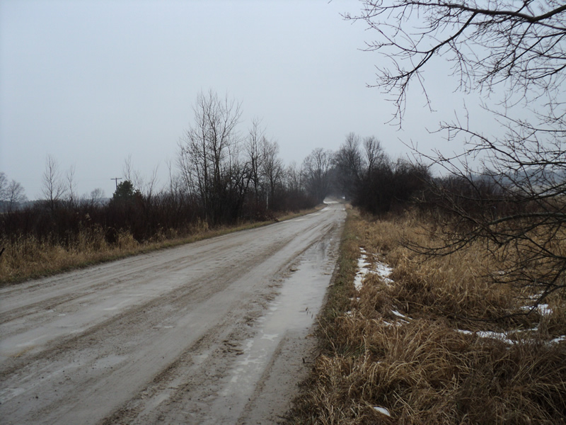
Upstream Conditions
Downstream Conditions
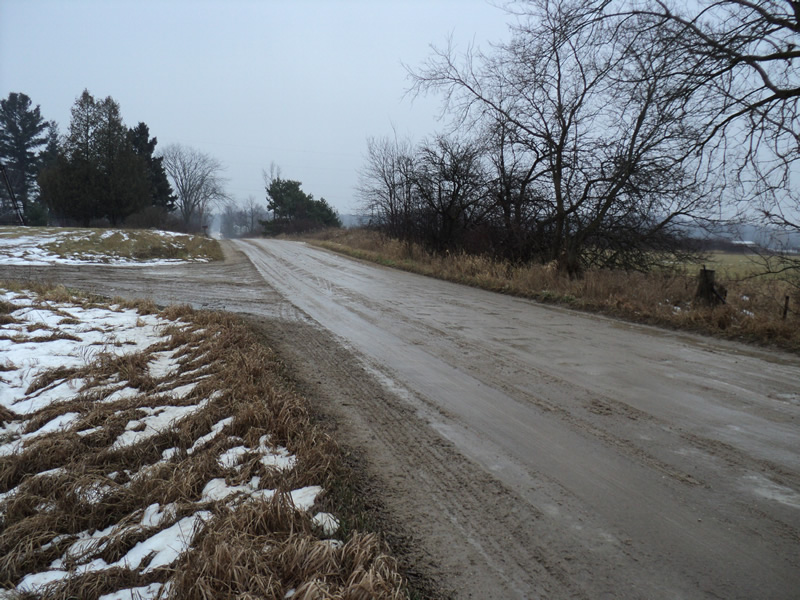
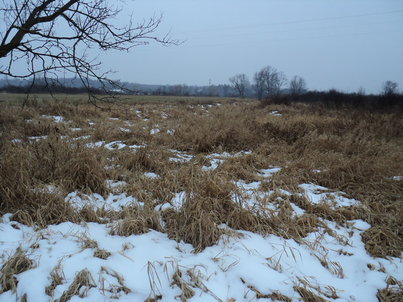
Road Approach - Left
Road Approach - Right
Crossing Information
Type of Crossing: culvert(s)
Number of Structures: 1
Structure Shape: Pipe Arch
Inlet Type: Projecting
Outlet Type: At Stream Grade
Structure Material: Metal
Structure Substrate: Gravel
General Conditions: Fair
Structure Interior: corrugated
Dimensions of Structure: Length 34 ft.
, Width 3 ft.
, Height 2 ft.
Water Depth: 0 ft.
Water Velocity*: 0 ft./sec.
Water Depth: 0 ft.
Water Velocity*: 0 ft./sec.
(with Float Test)
Stream Information
Stream Flow: None
Riffle Information
Water Depth: 0 ft.
Water Velocity: 0 ft./sec.
(Measured with Meter)
Dominant Substrate: Organics
Road Information
Gravel
County Road
Road Condition: Fair
Road Width at Culvert: 22 ft.
Location of Low Point: Other
Runoff Path: Roadway
Embankments
Upstream
Fill Depth: 1.5 ft.
Slope: 1:1.5
Downstream
Fill Depth: 1.5 ft.
Slope: 1:1.5
Approaches
Left Approach
Length: 200 ft.
Slope: 1% to 5%
Vegetation: Heavy
LS Factor: 0.43
Erosion: 0.5212 tons/year
Right Approach
Length: 200 ft.
Slope: Less Than 1%
Vegetation: Heavy
LS Factor: 0.05
Erosion: 0.0606 tons/year
Erosion Information
Total Erosion at Crossing: 0.5818 tons/year
Extent of Erosion: Moderate
Summary Information
Erosion is an area of concern for this site.
�