Road Stream Crossing Site PM_N041
Pere Marquette River Watershed, McDuffee Creek tributary
Hemlock Ave
Barton Twp,
Newaygo County
Information collected by:
Site Location
GPS Coordinates: 43.74162
, -85.65253
T16N
R11W
Sec 32
Owned by Private
Fish Passability 0
Perch Height: 0.1 ft.
Total Erosion: 1.0909 tons/year
Severity: Severe
Year Inventoried: 2014
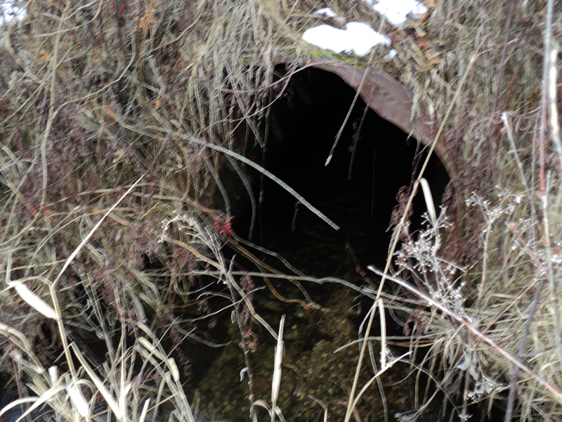
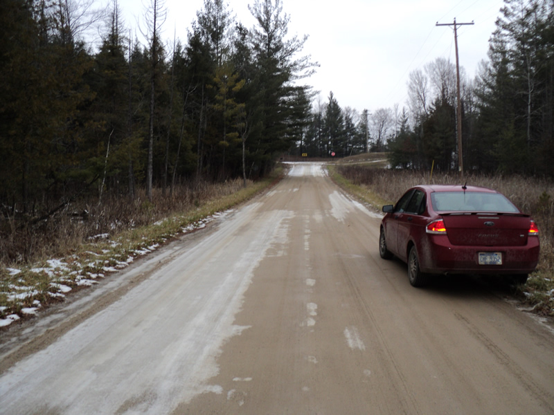
Inlet
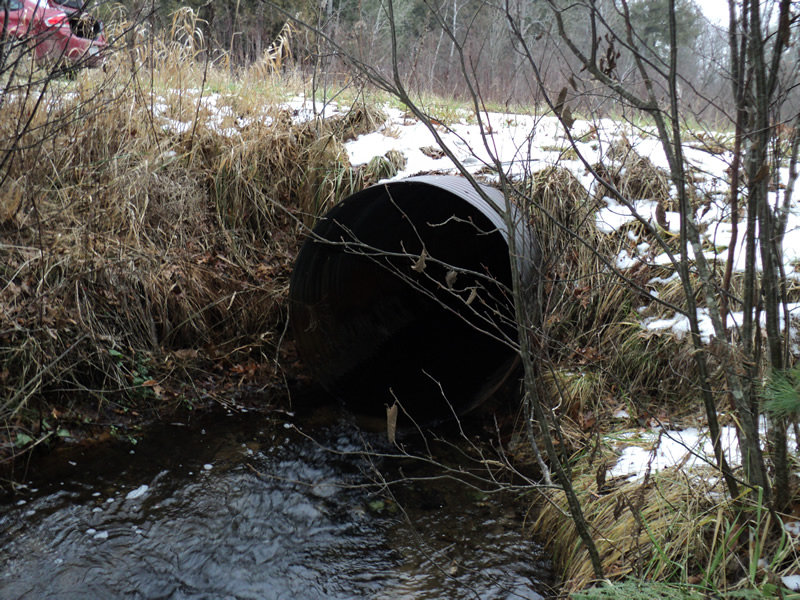
Outlet
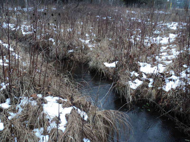
Upstream Conditions
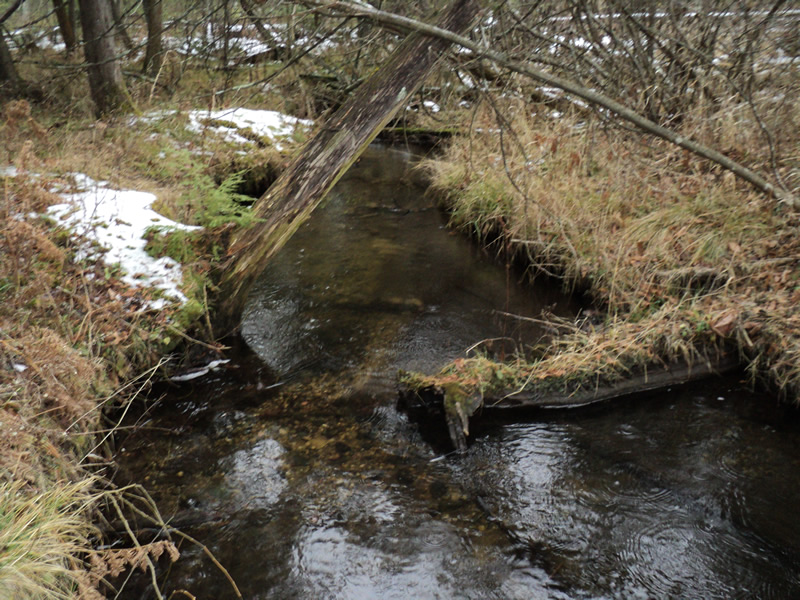
Downstream Conditions
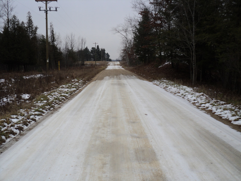
Road Approach - Left
Road Approach - Right
Crossing Information
Type of Crossing: culvert(s)
Number of Structures: 1
Structure Shape: Round
Inlet Type: Projecting
Outlet Type: At Stream Grade
Structure Material: Metal
Structure Substrate: None
General Conditions: Fair
Structure Interior: corrugated
Dimensions of Structure: Length 35 ft.
, Width 4.5 ft.
, Height 4.5 ft.
Perch Height: 0.1 ft.
Structure Inlet
Water Depth: 0.5 ft.
Water Velocity*: 0.6 ft./sec.
Structure Outlet
Water Depth: 0.3 ft.
Water Velocity*: 3 ft./sec.
*Water Velocities were measured 0.5 ft. below Surface
(with Meter)
Stream Information
Stream Flow: Less than Bankfull
Scour Pool: Length 15 ft.
, Width 10 ft.
, Depth 1.5 ft.
Riffle Information
Water Depth: 0.1 ft.
Bankfull Width: 6 ft.
Wetted Width: 6 ft.
Water Velocity: 1.2 ft./sec.
(Measured with Meter)
Dominant Substrate: Gravel
Road Information
Gravel
County Road
Road Condition: Good
Road Width at Culvert: 20 ft.
Location of Low Point: At Stream
Runoff Path: Roadway
Embankments
Upstream
Fill Depth: 1 ft.
Slope: 1:1.5
Downstream
Fill Depth: 1 ft.
Slope: 1:1.5
Approaches
Left Approach
Length: 150 ft.
Slope: 1% to 5%
Vegetation: Heavy
LS Factor: 0.4
Erosion: 0.3306 tons/year
Right Approach
Length: 300 ft.
Slope: 1% to 5%
Vegetation: Heavy
LS Factor: 0.46
Erosion: 0.7603 tons/year
Erosion Information
Total Erosion at Crossing: 1.0909 tons/year
Extent of Erosion: Minor
Summary Information
Fish Passability 0
�