Road Stream Crossing Site PM_N042
Pere Marquette River Watershed, McDuffee Creek tributary
12 Mile Rd
Barton Twp,
Newaygo County
Information collected by:
Site Location
GPS Coordinates: 43.7283962651372
, -85.6705036014318
T16N
R11W
Sec 31
Owned by Private
Total Erosion: 2.0455 tons/year
Severity: Moderate
Year Inventoried: 2014
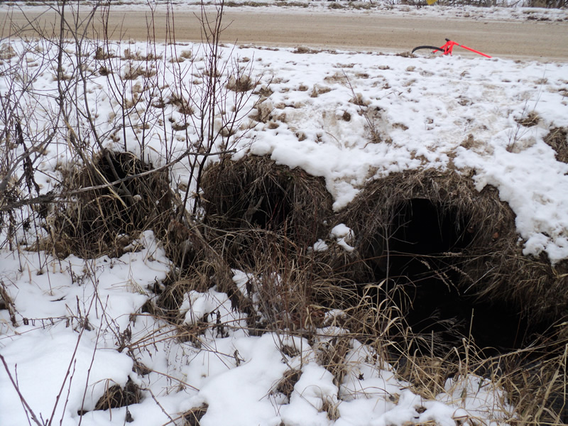
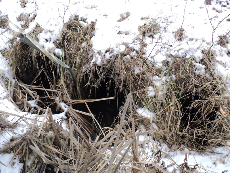
Inlet
Outlet
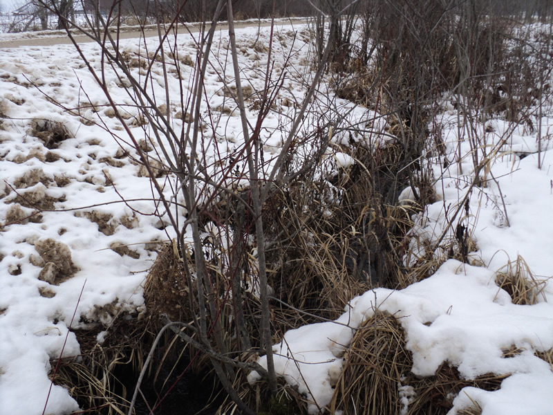
Upstream Conditions
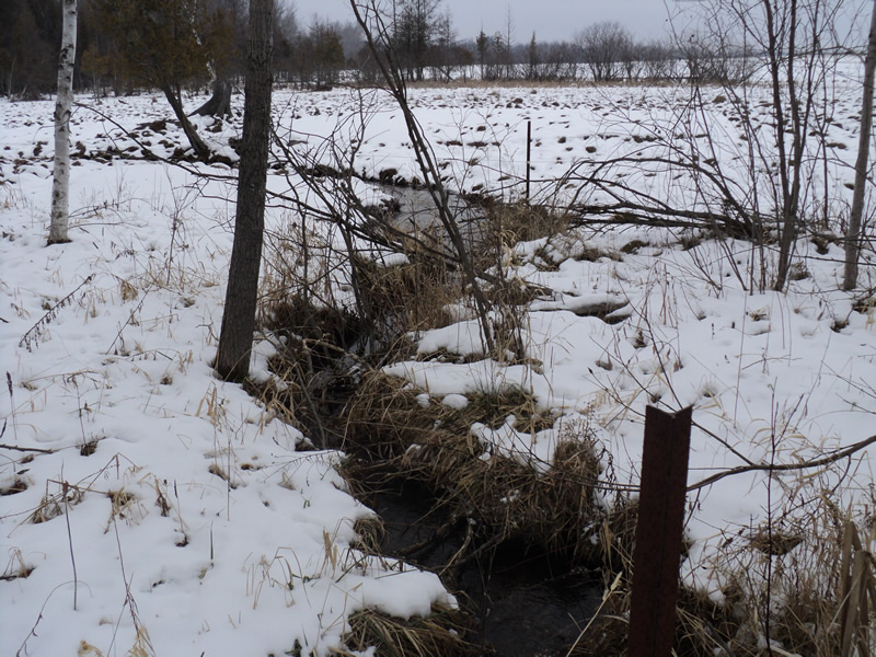
Downstream Conditions
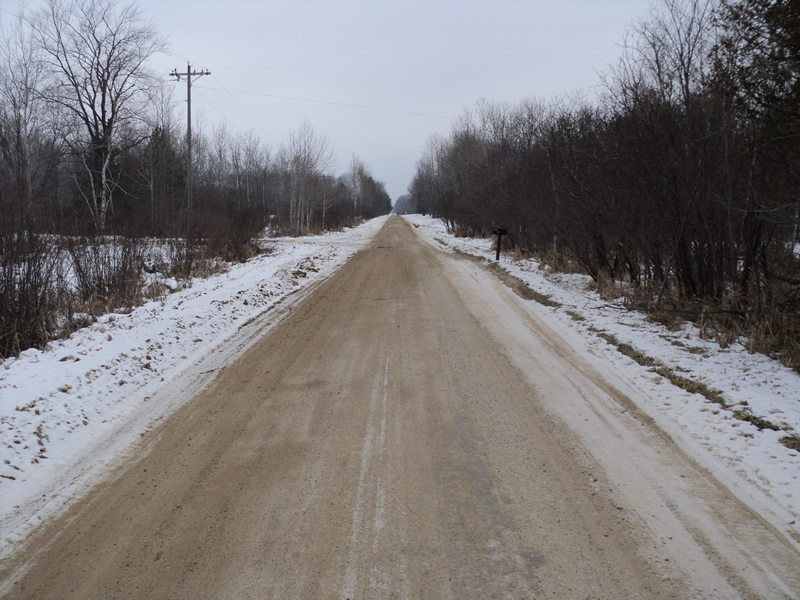
Road Approach - Left
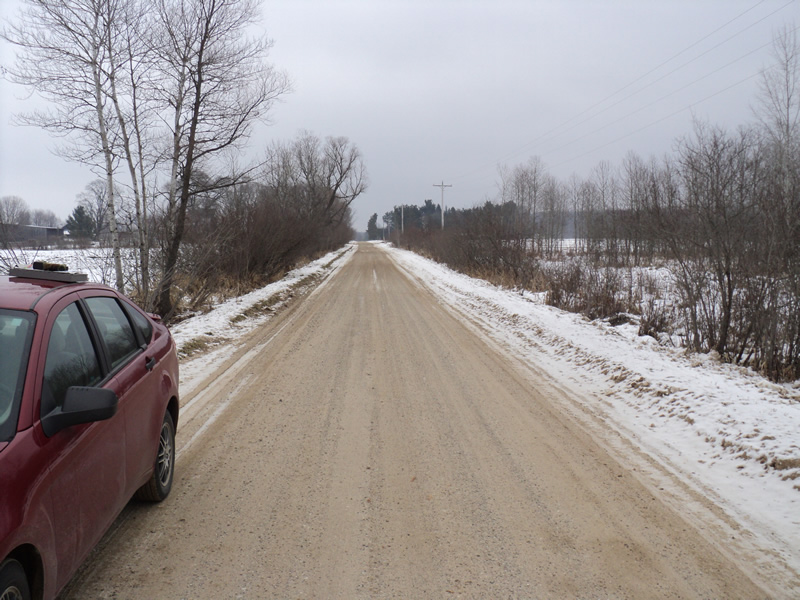
Road Approach - Right
Crossing Information
Type of Crossing: culvert(s)
Number of Structures: 3
Structure Shape: Round
Inlet Type: Projecting
Outlet Type: At Stream Grade
Structure Material: Metal
Structure Substrate: None
General Conditions: Fair
Multiple Culverts/Spans | ||||
Culvert/Span | Width | Length | Height | Material |
1 |
2 ft. |
32 ft. |
2 ft. |
Metal |
2 |
2 ft. |
32 ft. |
2 ft. |
Metal |
3 |
2 ft. |
32 ft. |
2 ft. |
Metal |
Structure Interior: corrugated
Dimensions of Structure: Length 32 ft.
, Width 2 ft.
, Height 2 ft.
Structure Inlet
Water Depth: 0.4 ft.
Water Velocity*: 1 ft./sec.
Structure Outlet
Water Depth: 0.4 ft.
Water Velocity*: 0.7 ft./sec.
*Water Velocities were measured 0.3 ft. below Surface
(with Meter)
Stream Information
Stream Flow: Bankfull
Riffle Information
Water Depth: 0.7 ft.
Bankfull Width: 2.5 ft.
Wetted Width: 2.5 ft.
Water Velocity: 0.7 ft./sec.
(Measured with Meter)
Dominant Substrate: Sand
Road Information
Gravel
County Road
Road Condition: Good
Road Width at Culvert: 18 ft.
Location of Low Point: At Stream
Runoff Path: Roadway
Embankments
Upstream
Fill Depth: 0.5 ft.
Slope: 1:1.5
Downstream
Fill Depth: 1 ft.
Slope: Vertical
Approaches
Left Approach
Length: 450 ft.
Slope: 1% to 5%
Vegetation: Heavy
LS Factor: 0.49
Erosion: 1.0934 tons/year
Right Approach
Length: 400 ft.
Slope: 1% to 5%
Vegetation: Heavy
LS Factor: 0.48
Erosion: 0.9521 tons/year
Erosion Information
Total Erosion at Crossing: 2.0455 tons/year
Extent of Erosion: Minor
Notes:
road edges are banked high so little road erosion makes it to the stream
Summary Information
Erosion is an area of concern for this site.
�