Road Stream Crossing Site PM_N044
Pere Marquette River Watershed, Little South Branch
Hayes St
Monroe Twp,
Newaygo County
Information collected by:
Site Location
GPS Coordinates: 43.72087
, -85.7649
T15N
R12W
Sec 5
Owned by Private
Federal
Federal
Fish Passability 0.5
Total Erosion: 0.1942 tons/year
Severity: Moderate
Year Inventoried: 2014
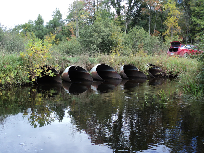
Inlet
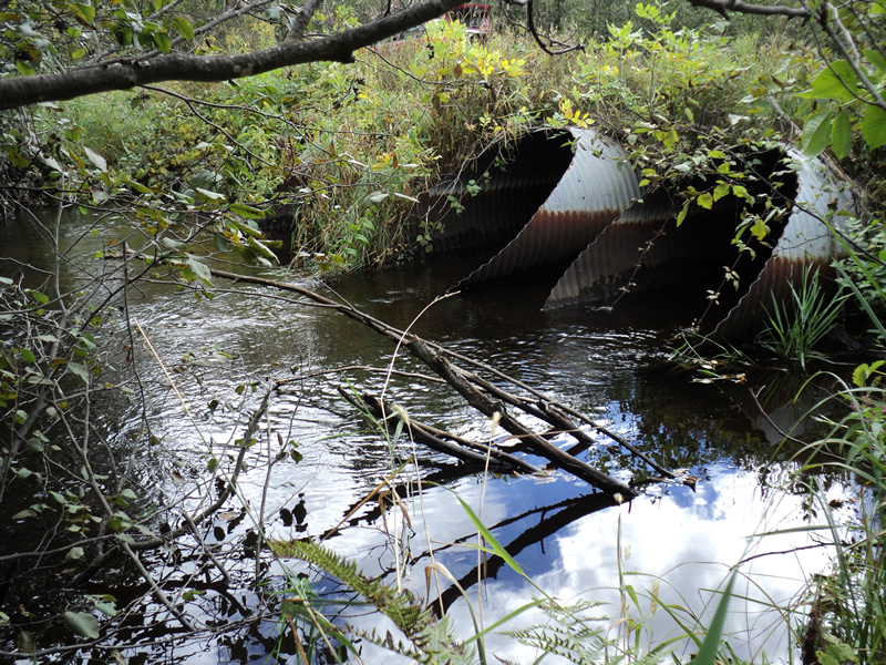
Outlet
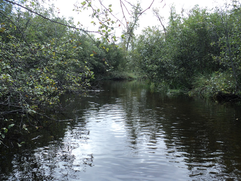
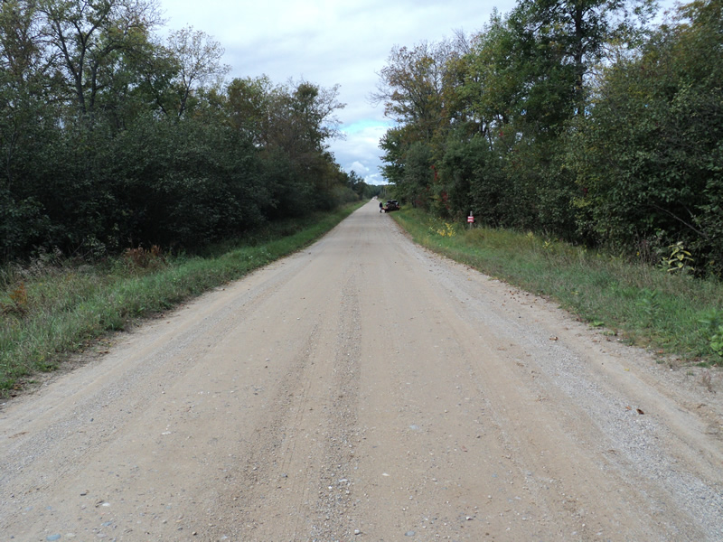
Upstream Conditions
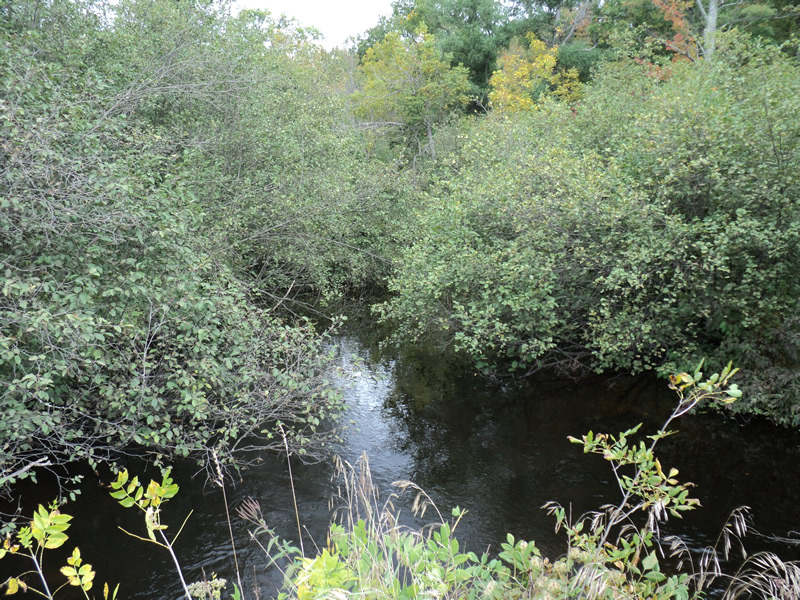
Downstream Conditions
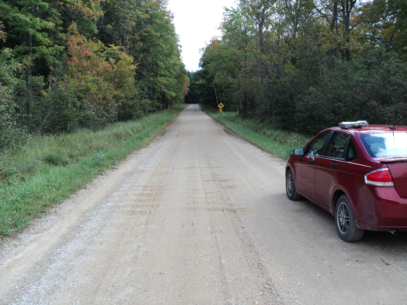
Road Approach - Left
Road Approach - Right
Crossing Information
Type of Crossing: culvert(s)
Number of Structures: 5
Structure Shape: Round
Inlet Type: Mitered
Outlet Type: At Stream Grade
Structure Material: Metal
Structure Substrate: None
General Conditions: Good
Structure Interior: corrugated
Dimensions of Structure: Length 45 ft.
, Width 4 ft.
, Height 4 ft.
Structure Inlet
Water Depth: 1 ft.
Water Velocity*: 1.6 ft./sec.
Structure Outlet
Water Depth: 1 ft.
Water Velocity*: 1.6 ft./sec.
Additional Comments
all 5 are same size
Stream Information
Stream Flow: Bankfull
Riffle Information
Water Depth: 1.4 ft.
Bankfull Width: 30 ft.
Wetted Width: 30 ft.
Water Velocity: 0.9 ft./sec.
(Measured with Meter)
Dominant Substrate: Sand
Road Information
Gravel
County Road
Road Condition: Good
Road Width at Culvert: 20 ft.
Location of Low Point: Other
Runoff Path: Roadway
Embankments
Upstream
Fill Depth: 0.8 ft.
Slope: Vertical
Downstream
Fill Depth: 0.8 ft.
Slope: Vertical
Approaches
Left Approach
Length: 200 ft.
Slope: Less Than 1%
Vegetation: Heavy
LS Factor: 0.05
Erosion: 0.0551 tons/year
Right Approach
Length: 200 ft.
Slope: Less Than 1%
Vegetation: Heavy
LS Factor: 0.05
Erosion: 0.0551 tons/year
Erosion Information
Total Erosion at Crossing: 0.1942 tons/year
Extent of Erosion: Moderate
Location of Erosion | Erosion Dimensions | Eroded Material | Material Eroded | Total Erosion | ||
facing downstream | Length | Width | Depth | Reaching Stream? | (tons/year) | |
Right Upstream Embankment |
6 ft. |
4 ft. |
2 ft. |
yes |
Gravel |
0.084 |
Summary Information
Fish Passability 0.5
�