Road Stream Crossing Site PM_N046
Pere Marquette River Watershed, Little South Branch
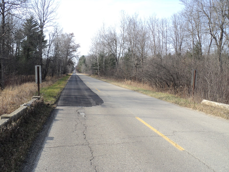
14 Mile Rd
Home Twp,
Newaygo County
Information collected by:
Site Location
GPS Coordinates: 43.7566843531848
, -85.7719387114048
T16N
R12W
Sec 20
Owned by Private
Total Erosion: 0.0172 tons/year
Severity: Moderate
Year Inventoried: 2014
Inlet
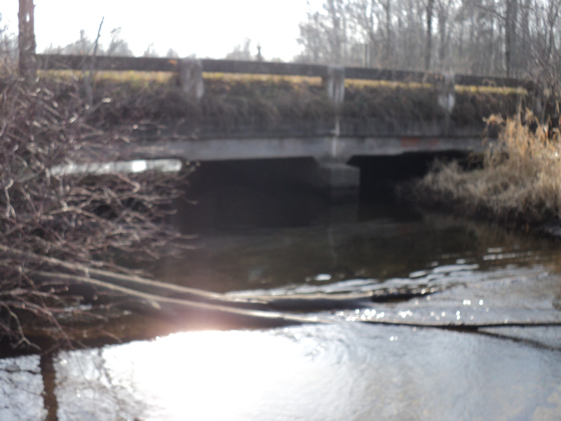
Outlet
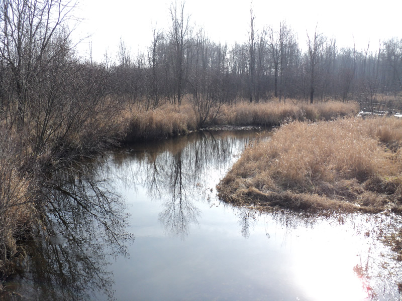
Upstream Conditions
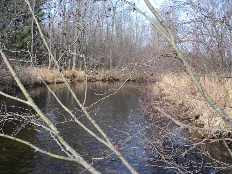
Downstream Conditions
Road Approach - Left
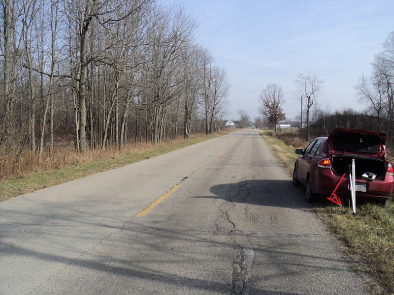
Road Approach - Right
Crossing Information
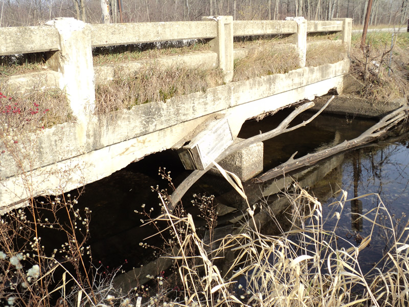
Type of Crossing: Bridge
Structure Shape: Open Bottom Square/Rectangle
Inlet Type: Projecting
Outlet Type: At Stream Grade
Structure Material: Concrete
Structure Substrate: Mixture
General Conditions: Good
Structure Interior: smooth
Dimensions of Structure: Length 26 ft.
, Width 30 ft.
, Height 5 ft.
Structure Inlet
Water Depth: 1.4 ft.
Water Velocity*: 0.6 ft./sec.
Structure Outlet
Water Depth: 1.7 ft.
Water Velocity*: 0.5 ft./sec.
*Water Velocities were measured 1 ft. below Surface
(with Meter)
Additional Comments
concrete on underside of bridge is falling apart
Stream Information
Stream Flow: Bankfull
Riffle Information
Water Depth: 0.8 ft.
Bankfull Width: 25 ft.
Wetted Width: 25 ft.
Water Velocity: 0.8 ft./sec.
(Measured with Meter)
Dominant Substrate: Sand
Road Information
Paved
County Road
Road Condition: Fair
Road Width at Culvert: 26 ft.
Location of Low Point: At Stream
Runoff Path: Ditch
Slope: Vertical
Slope: Vertical
Approaches
Left Approach
Length: 200 ft.
Slope: Less Than 1%
Vegetation: Heavy
LS Factor: 0.05
Erosion: 0.0086 tons/year
Right Approach
Length: 200 ft.
Slope: Less Than 1%
Vegetation: Heavy
LS Factor: 0.05
Erosion: 0.0086 tons/year
Erosion Information
Total Erosion at Crossing: 0.0172 tons/year
Extent of Erosion: Minor
Summary Information
Erosion is an area of concern for this site.
�