Road Stream Crossing Site PM_N047
Pere Marquette River Watershed, Woody Creek
18 Mile Rd
Troy Twp,
Newaygo County
Information collected by:
Site Location
GPS Coordinates: 43.81526
, -86.01012
T16N
R14W
Sec 5
Owned by Federal
Total Erosion: 0.7532 tons/year
Severity: Restored
Year Inventoried: 2014
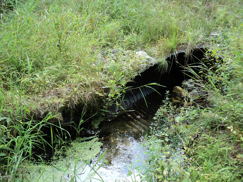
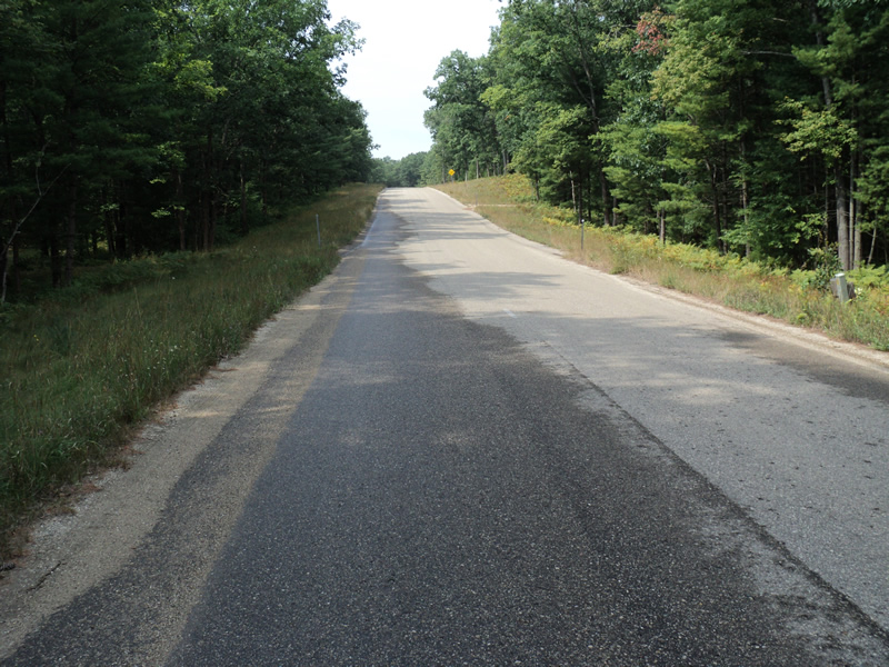
Inlet
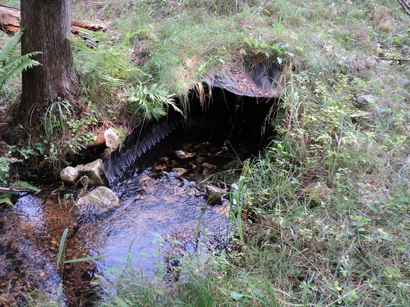
Outlet
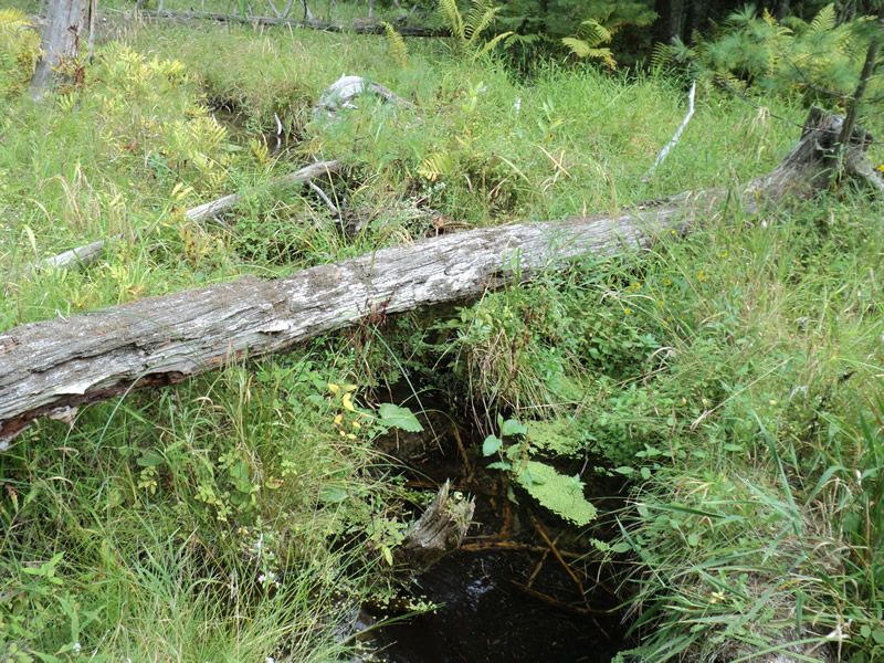
Upstream Conditions
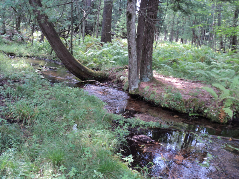
Downstream Conditions
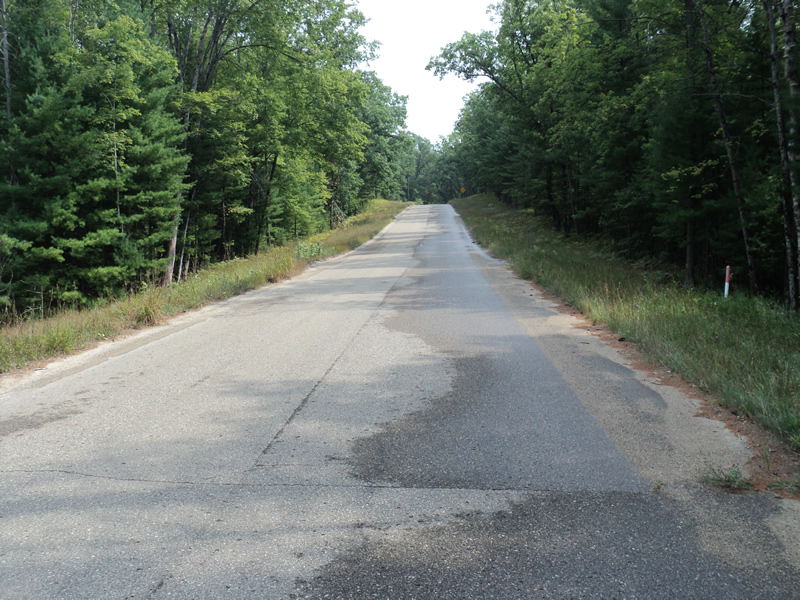
Road Approach - Left
Road Approach - Right
Crossing Information
Type of Crossing: culvert(s)
Number of Structures: 1
Structure Shape: Pipe Arch
Inlet Type: Mitered
Outlet Type: At Stream Grade
Structure Material: Metal
Structure Substrate: Mixture
General Conditions: New
Structure Interior: corrugated
Dimensions of Structure: Length 86 ft.
, Width 3.5 ft.
, Height 2.5 ft.
Structure Inlet
Water Depth: 0.3 ft.
Water Velocity*: 0.4 ft./sec.
Structure Outlet
Water Depth: 0.3 ft.
Water Velocity*: 0.7 ft./sec.
*Water Velocities were measured 0.3 ft. below Surface
(with Meter)
Additional Comments
New Gravel road with paved approaches
Stream Information
Stream Flow: Less than Bankfull
Riffle Information
Water Depth: 0.1 ft.
Bankfull Width: 8 ft.
Wetted Width: 7 ft.
Water Velocity: 0.7 ft./sec.
(Measured with Meter)
Dominant Substrate: Sand
Road Information
Paved
County Road
Road Condition: Good
Road Width at Culvert: 26 ft.
Location of Low Point: At Stream
Runoff Path: Roadway
Embankments
Upstream
Fill Depth: 7 ft.
Slope: 1:2
Downstream
Fill Depth: 7.5 ft.
Slope: 1:2
Approaches
Left Approach
Length: 300 ft.
Slope: 6% to 10%
Vegetation: Heavy
LS Factor: 1.4
Erosion: 0.361 tons/year
Right Approach
Length: 320 ft.
Slope: 6% to 10%
Vegetation: Heavy
LS Factor: 1.426
Erosion: 0.3922 tons/year
Erosion Information
Total Erosion at Crossing: 0.7532 tons/year
Extent of Erosion: Moderate
Summary Information
Erosion is an area of concern for this site.
These non-native species were observerd at this site: Spotted Knapweed
�