Road Stream Crossing Site PM_N049
Pere Marquette River Watershed, Cedar Creek tributary
16 Mile Rd
Lilley Twp,
Newaygo County
Information collected by:
Site Location
GPS Coordinates: 43.78523
, -85.90827
T16N
R13W
Sec 18
Owned by Federal
Total Erosion: 0.4628 tons/year
Severity: Restored
Year Inventoried: 2014
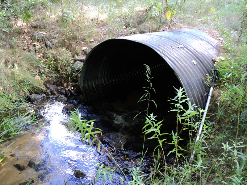
Inlet
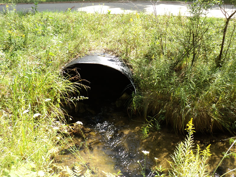
Outlet
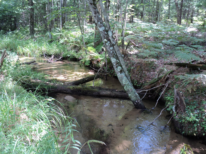
Upstream Conditions
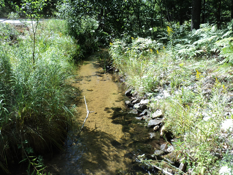
Downstream Conditions
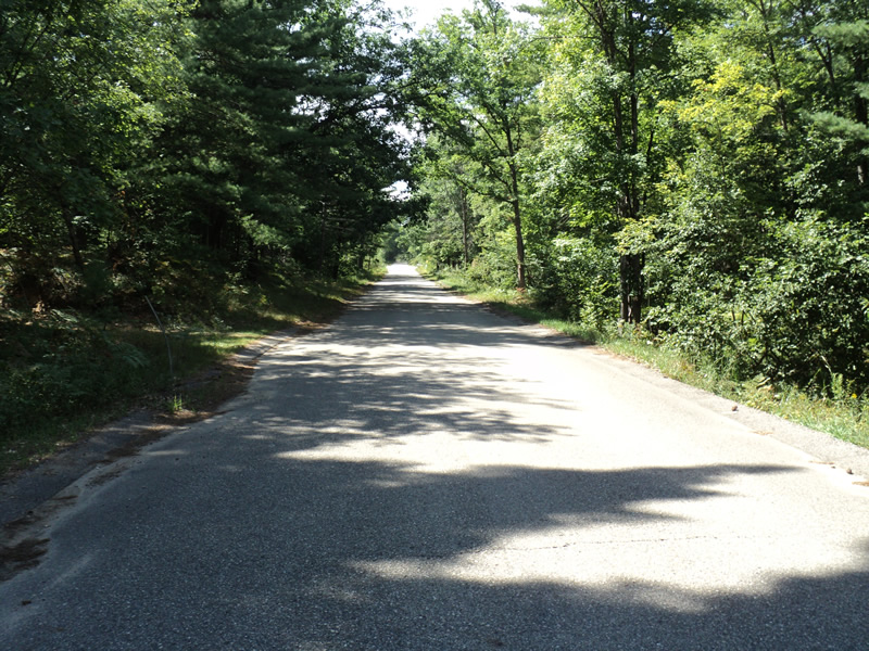
Road Approach - Left
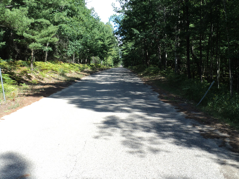
Road Approach - Right
Crossing Information
Type of Crossing: culvert(s)
Number of Structures: 1
Structure Shape: Ellipse
Inlet Type: Projecting
Outlet Type: Cascade over Riprap
Structure Material: Metal
Structure Substrate: None
General Conditions: Good
Structure Interior: corrugated
Dimensions of Structure: Length 50 ft.
, Width 5.5 ft.
, Height 4 ft.
Structure Inlet
Water Depth: 0.4 ft.
Water Velocity*: 3 ft./sec.
Structure Outlet
Water Depth: 0.4 ft.
Water Velocity*: 3.2 ft./sec.
*Water Velocities were measured 0.3 ft. below Surface
(with Meter)
Additional Comments
Gravel road-paved over crossing and curbed.
Stream Information
Stream Flow: Less than Bankfull
Scour Pool: Length 4 ft.
, Width 4 ft.
, Depth 1.2 ft.
Riffle Information
Water Depth: 0.35 ft.
Bankfull Width: 8 ft.
Wetted Width: 7 ft.
Water Velocity: 0.6 ft./sec.
(Measured with Meter)
Dominant Substrate: Sand
Road Information
Gravel
County Road
Road Condition: Good
Road Width at Culvert: 24 ft.
Location of Low Point: At Stream
Runoff Path: Roadway
Embankments
Upstream
Fill Depth: 0.9 ft.
Slope: More than 1:2
Downstream
Fill Depth: 0.9 ft.
Slope: More than 1:2
Approaches
Left Approach
Length: 200 ft.
Slope: Less Than 1%
Vegetation: Heavy
LS Factor: 0.05
Erosion: 0.0661 tons/year
Right Approach
Length: 150 ft.
Slope: 1% to 5%
Vegetation: Heavy
LS Factor: 0.4
Erosion: 0.3967 tons/year
Erosion Information
Total Erosion at Crossing: 0.4628 tons/year
Extent of Erosion: Moderate
Summary Information
Fish Passage is an area of concern for this site.
�