Road Stream Crossing Site PM_N050
Pere Marquette River Watershed, Cedar Creek
16 Mile Rd
Lilley Twp,
Newaygo County
Information collected by:
Site Location
GPS Coordinates: 43.7852645406802
, -85.9115034341812
T16N
R13W
Sec 7
Owned by Federal
Total Erosion: 0.1928 tons/year
Severity: Restored
Year Inventoried: 2014

Inlet
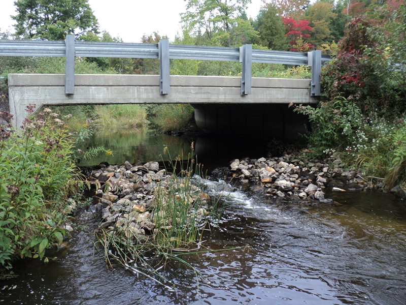
Outlet
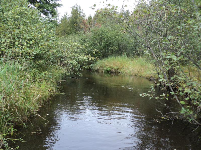
Upstream Conditions
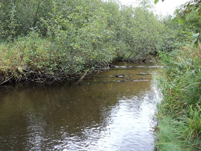
Downstream Conditions
Road Approach - Left
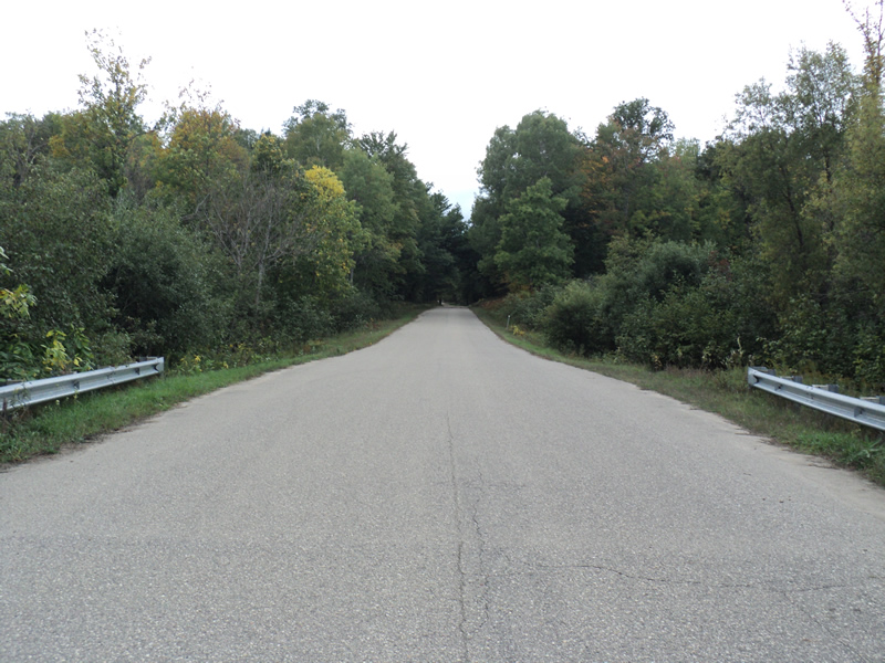
Road Approach - Right
Crossing Information
Type of Crossing: Bridge
Structure Shape: Open Bottom Square/Rectangle
Inlet Type: Projecting
Outlet Type: Cascade over Riprap
Structure Material: Concrete
Structure Substrate: None
General Conditions: Good
Structure Interior: smooth
Dimensions of Structure: Length 35 ft.
, Width 24 ft.
, Height 5 ft.
Structure Inlet
Water Depth: 0.5 ft.
Water Velocity*: 0.6 ft./sec.
Structure Outlet
Water Depth: 0.3 ft.
Water Velocity*: 3.5 ft./sec.
*Water Velocities were measured 0.3 ft. below Surface
(with Meter)
Additional Comments
gravel road with paved approaches
Stream Information
Stream Flow: Bankfull
Riffle Information
Water Depth: 0.7 ft.
Bankfull Width: 17 ft.
Wetted Width: 17 ft.
Water Velocity: 0.6 ft./sec.
(Measured with Meter)
Dominant Substrate: Sand
Road Information
Gravel
County Road
Road Condition: Good
Road Width at Culvert: 35 ft.
Location of Low Point: Other
Runoff Path: Ditch
Embankments
Upstream
Fill Depth: 1.8 ft.
Slope: Vertical
Downstream
Fill Depth: 1.8 ft.
Slope: Vertical
Approaches
Left Approach
Length: 200 ft.
Slope: Less Than 1%
Vegetation: Heavy
LS Factor: 0.05
Erosion: 0.0964 tons/year
Right Approach
Length: 200 ft.
Slope: Less Than 1%
Vegetation: Heavy
LS Factor: 0.05
Erosion: 0.0964 tons/year
Erosion Information
Total Erosion at Crossing: 0.1928 tons/year
Extent of Erosion: Moderate
Summary Information
Erosion is an area of concern for this site.
�