Road Stream Crossing Site PM_N051
Pere Marquette River Watershed, Cedar Creek tributary
16 Mile Rd
Lilley Twp,
Newaygo County
Information collected by:
Site Location
GPS Coordinates: 43.78526
, -85.9115
T16N
R13W
Sec 7
Owned by Federal
Total Erosion: 0.5578 tons/year
Severity: Restored
Year Inventoried: 2014
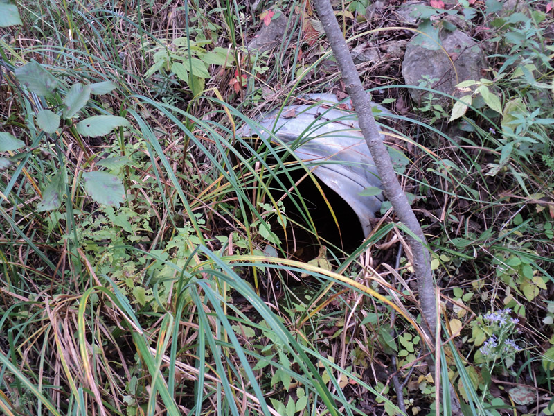
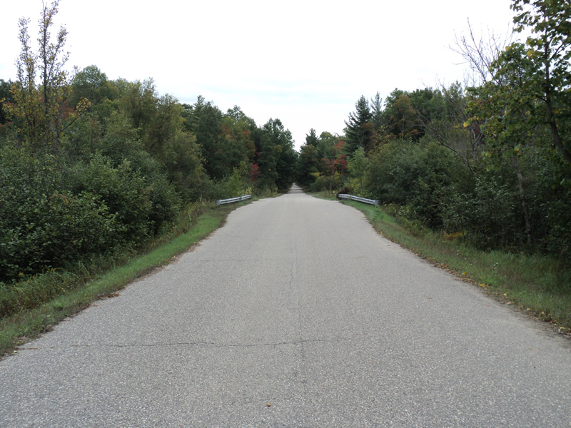
Inlet
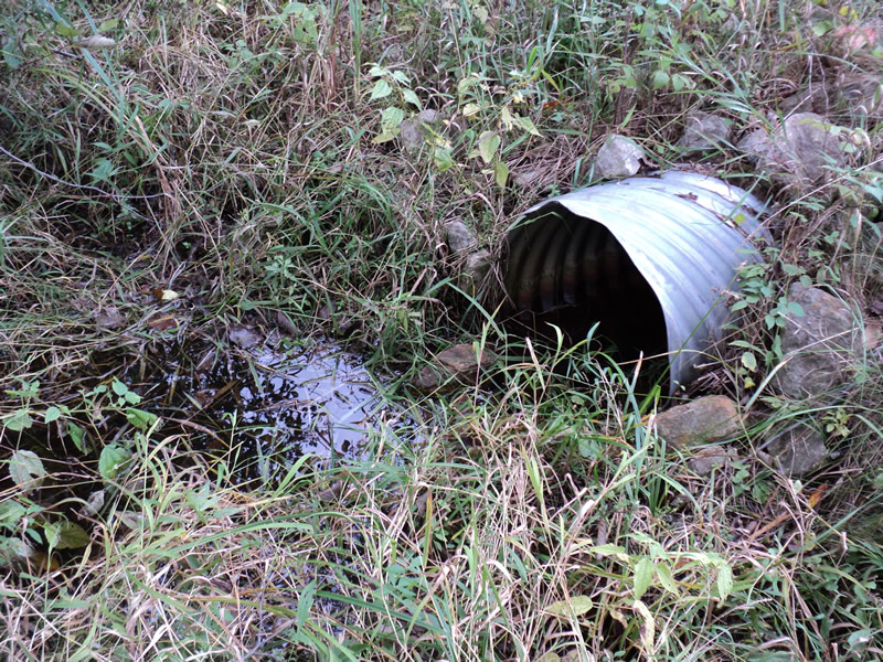
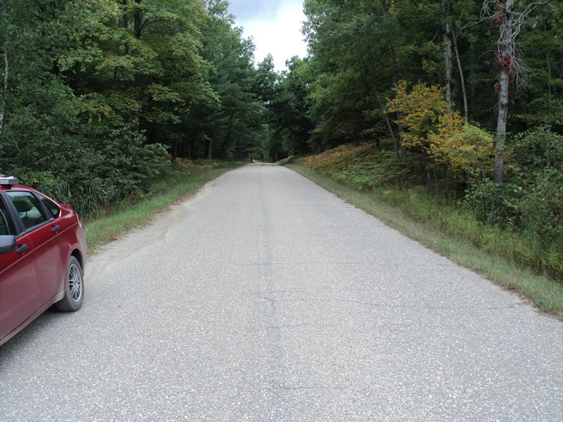
Outlet
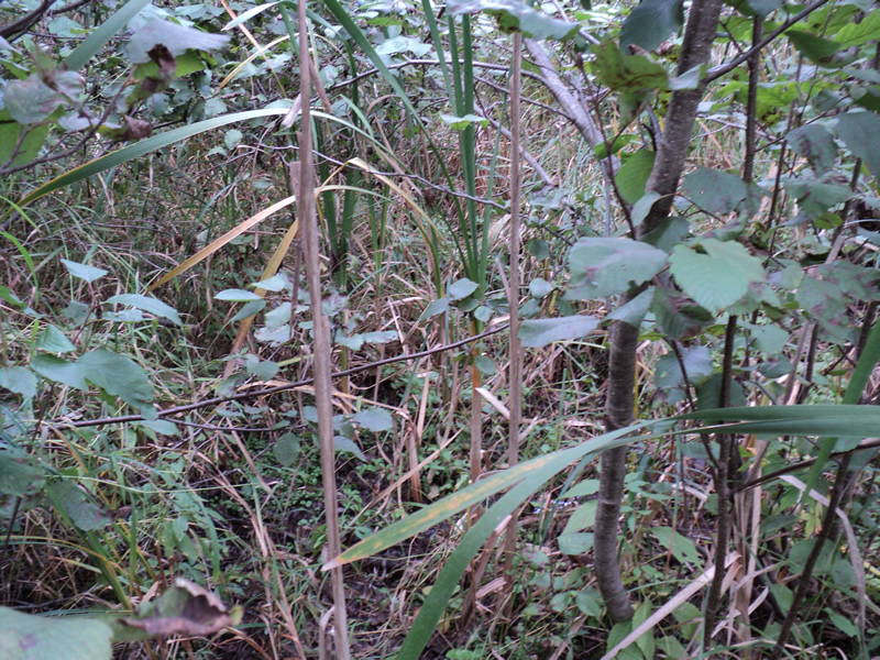
Upstream Conditions
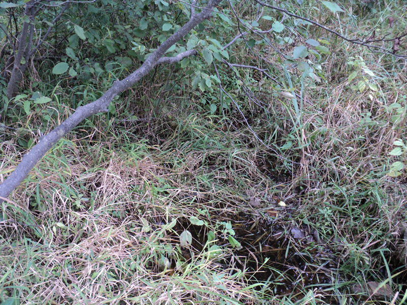
Downstream Conditions
Road Approach - Left
Road Approach - Right
Crossing Information
Type of Crossing: culvert(s)
Number of Structures: 1
Structure Shape: Round
Inlet Type: Projecting
Outlet Type: At Stream Grade
Structure Material: Metal
Structure Substrate: None
General Conditions: Fair
Structure Interior: corrugated
Dimensions of Structure: Length 50 ft.
, Width 1.5 ft.
, Height 1.5 ft.
Water Depth: 0 ft.
Water Velocity*: 0 ft./sec.
Structure Outlet
Water Depth: 0.1 ft.
Water Velocity*: 0 ft./sec.
Stream Information
Stream Flow: None
Scour Pool: Length 2 ft.
, Width 2 ft.
, Depth 0.4 ft.
Riffle Information
Water Depth: 0 ft.
Water Velocity: 0 ft./sec.
(Measured with Meter)
Dominant Substrate: Organics
Road Information
Gravel
County Road
Road Condition: Good
Road Width at Culvert: 19 ft.
Location of Low Point: At Stream
Runoff Path: Ditch
Embankments
Upstream
Fill Depth: 3 ft.
Slope: 1:2
Downstream
Fill Depth: 3 ft.
Slope: 1:2
Approaches
Left Approach
Length: 150 ft.
Slope: 1% to 5%
Vegetation: Heavy
LS Factor: 0.4
Erosion: 0.314 tons/year
Right Approach
Length: 120 ft.
Slope: 1% to 5%
Vegetation: Heavy
LS Factor: 0.388
Erosion: 0.2437 tons/year
Erosion Information
Total Erosion at Crossing: 0.5578 tons/year
Extent of Erosion: Minor
Summary Information
Erosion is an area of concern for this site.
�