Road Stream Crossing Site PM_N053
Pere Marquette River Watershed, Triple Lakes Creek
13 Mile Rd
Troy Twp,
Newaygo County
Information collected by:
Site Location
GPS Coordinates: 43.7420127234996
, -85.9369254112244
T16N
R14W
Sec 36
Owned by Private
Federal
Federal
Total Erosion: 0.3029 tons/year
Severity: Moderate
Year Inventoried: 2014
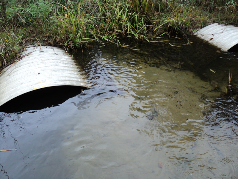
Inlet
Outlet
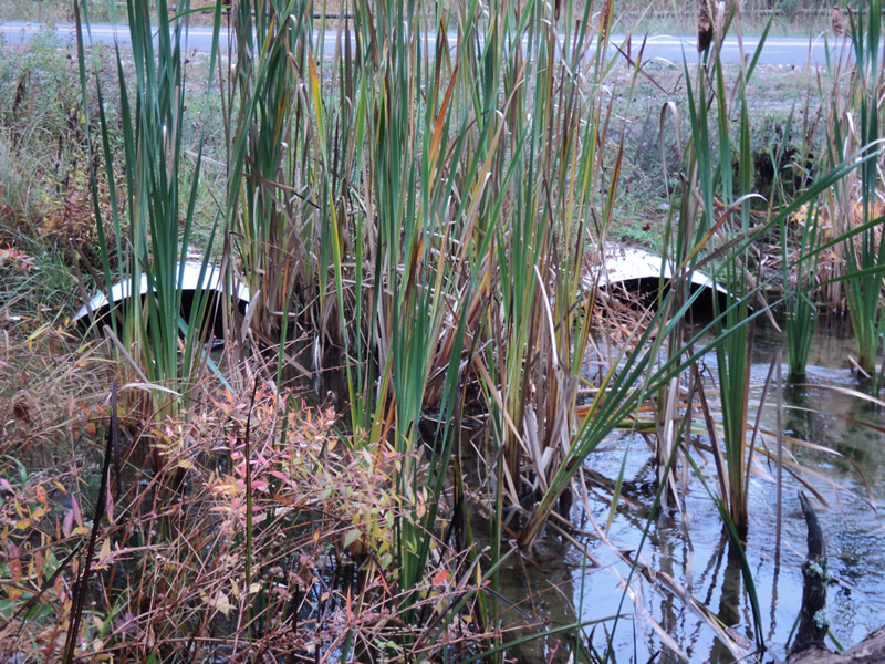
Upstream Conditions
Downstream Conditions
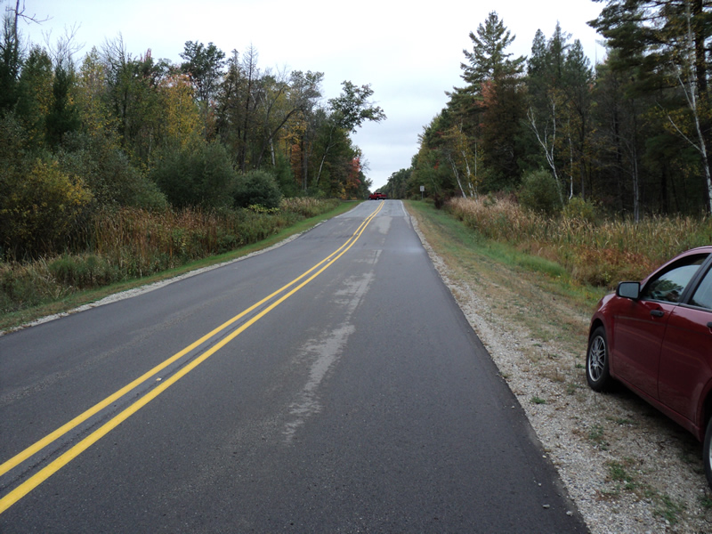
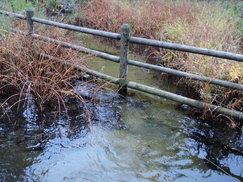
Road Approach - Left
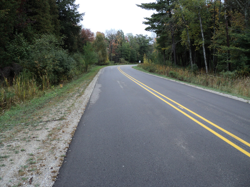
Road Approach - Right
Crossing Information
Type of Crossing: culvert(s)
Number of Structures: 2
Structure Shape: Pipe Arch
Inlet Type: Projecting
Outlet Type: At Stream Grade
Structure Material: Metal
Structure Substrate: Sand
General Conditions: Good
Structure Interior: corrugated
Dimensions of Structure: Length 60 ft.
, Width 5 ft.
, Height 3 ft.
Structure Inlet
Water Depth: 1.6 ft.
Embedded Depth of Structure: 1.2 ft.
Water Velocity*: 0.9 ft./sec.
Structure Outlet
Water Depth: 1.1 ft.
Embedded Depth of Structure: 1 ft.
Water Velocity*: 1.1 ft./sec.
*Water Velocities were measured 1.5 ft. below Surface
(with Meter)
Additional Comments
Undersized culverts with large sand build-up.
Stream Information
Stream Flow: More than Bankfull
Riffle Information
Water Depth: 1.4 ft.
Bankfull Width: 11 ft.
Wetted Width: 12 ft.
Water Velocity: 1.2 ft./sec.
(Measured with Meter)
Dominant Substrate: Sand
Road Information
Paved
County Road
Road Condition: Good
Road Width at Culvert: 22 ft.
Location of Low Point: At Stream
Runoff Path: Ditch
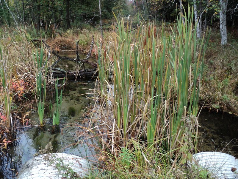
Embankments
Upstream
Fill Depth: 2.1 ft.
Slope: More than 1:2
Downstream
Fill Depth: 1.6 ft.
Slope: More than 1:2
Approaches
Left Approach
Length: 300 ft.
Slope: 1% to 5%
Vegetation: Heavy
LS Factor: 0.46
Erosion: 0.1004 tons/year
Right Approach
Length: 180 ft.
Slope: 1% to 5%
Vegetation: Heavy
LS Factor: 0.418
Erosion: 0.0547 tons/year
Erosion Information
Total Erosion at Crossing: 0.3029 tons/year
Extent of Erosion: Moderate
Location of Erosion | Erosion Dimensions | Eroded Material | Material Eroded | Total Erosion | ||
facing downstream | Length | Width | Depth | Reaching Stream? | (tons/year) | |
Left Upstream Streambank |
12 ft. |
2 ft. |
1 ft. |
yes |
Sandy Loam |
0.0806 |
Right Upstream Streambank |
10 ft. |
2 ft. |
1 ft. |
yes |
Sandy Loam |
0.0672 |
Summary Information
Erosion is an area of concern for this site.
�