Road Stream Crossing Site PM_N055
Pere Marquette River Watershed, Beaver Creek
Comstock Ave
Beaver Twp,
Newaygo County
Information collected by:
Site Location
GPS Coordinates: 43.6818563094504
, -85.9994879364967
T15N
R14W
Sec 20
Owned by Private
Total Erosion: 0.062 tons/year
Severity: Minor
Year Inventoried: 2014
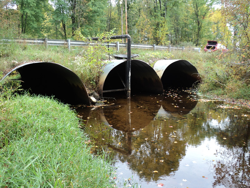
Inlet
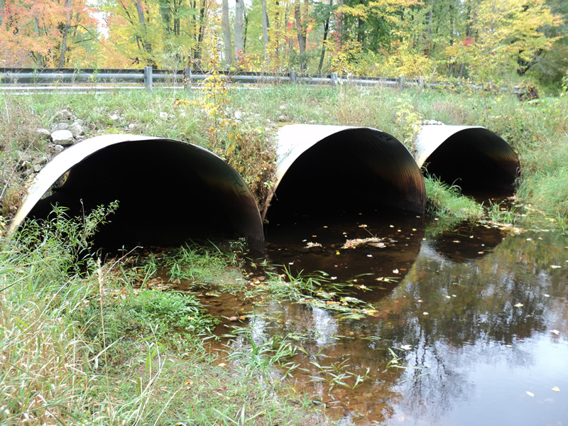
Outlet
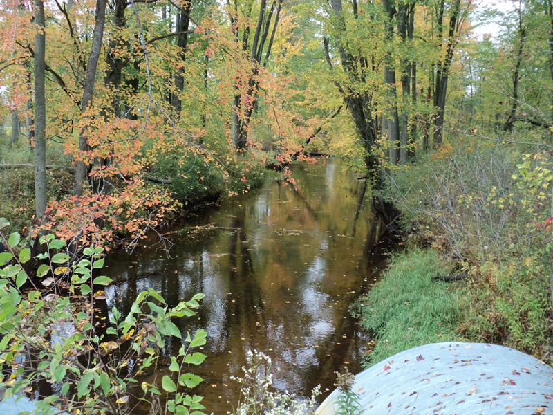
Upstream Conditions
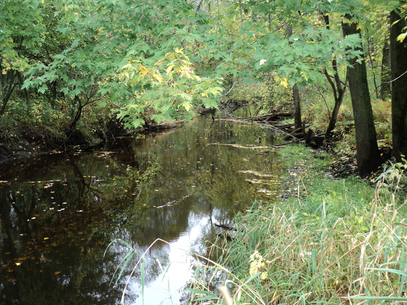
Downstream Conditions
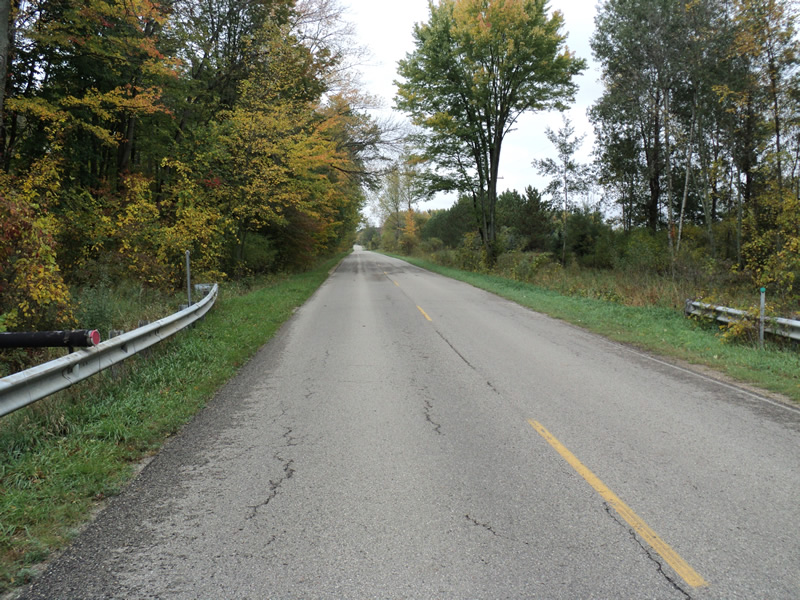
Road Approach - Left
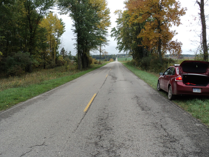
Road Approach - Right
Crossing Information
Type of Crossing: culvert(s)
Number of Structures: 3
Structure Shape: Pipe Arch
Inlet Type: Projecting
Outlet Type: At Stream Grade
Structure Material: Metal
Structure Substrate: Sand
General Conditions: Good
Structure Interior: corrugated
Dimensions of Structure: Length 60 ft.
, Width 12 ft.
, Height 7 ft.
Structure Inlet
Water Depth: 0.8 ft.
Water Velocity*: 0.7 ft./sec.
Structure Outlet
Water Depth: 1.3 ft.
Water Velocity*: 0.7 ft./sec.
*Water Velocities were measured 0.7 ft. below Surface
(with Meter)
Additional Comments
Most of the flow is in the center culvert. The other two are much shallower.
Stream Information
Stream Flow: Bankfull
Riffle Information
Water Depth: 0.6 ft.
Bankfull Width: 29 ft.
Wetted Width: 29 ft.
Water Velocity: 0.8 ft./sec.
(Measured with Meter)
Dominant Substrate: Sand
Road Information
Paved
County Road
Road Condition: Good
Road Width at Culvert: 22 ft.
Location of Low Point: Other
Runoff Path: Ditch
Embankments
Upstream
Fill Depth: 1.2 ft.
Slope: More than 1:2
Downstream
Fill Depth: 1.2 ft.
Slope: More than 1:2
Approaches
Left Approach
Length: 180 ft.
Slope: 1% to 5%
Vegetation: Heavy
LS Factor: 0.418
Erosion: 0.0547 tons/year
Right Approach
Length: 200 ft.
Slope: Less Than 1%
Vegetation: Heavy
LS Factor: 0.05
Erosion: 0.0073 tons/year
Erosion Information
Total Erosion at Crossing: 0.062 tons/year
Extent of Erosion: Moderate
Summary Information
Erosion is an area of concern for this site.
�