Road Stream Crossing Site PM_N057
Pere Marquette River Watershed, Beaver Creek tributary
10 Mile Rd
Beaver Twp,
Newaygo County
Information collected by:
Site Location
GPS Coordinates: 43.69921
, -86.01144
T15N
R14W
Sec 17
Owned by Private
Fish Passability 0.9
Total Erosion: 6.1758 tons/year
Severity: Severe
Year Inventoried: 2014
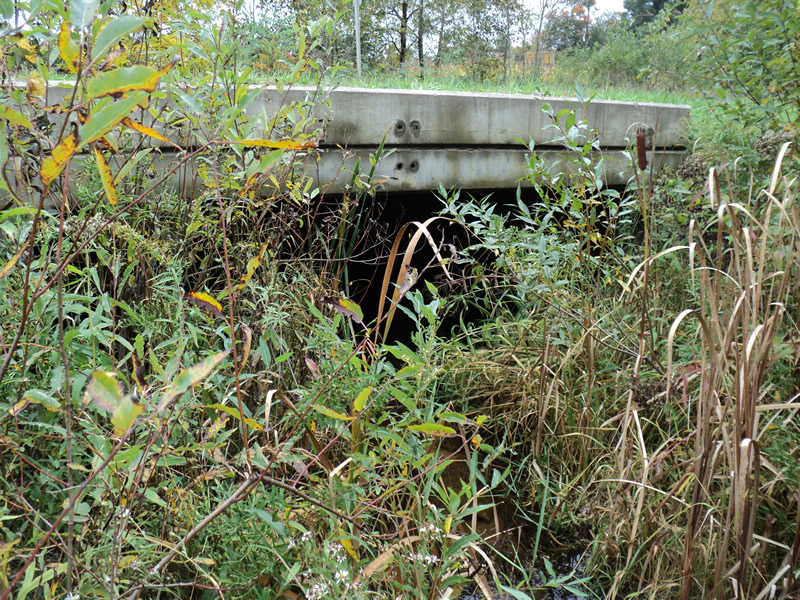
Inlet
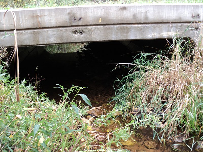
Outlet
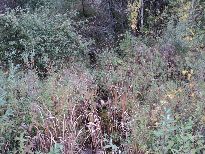
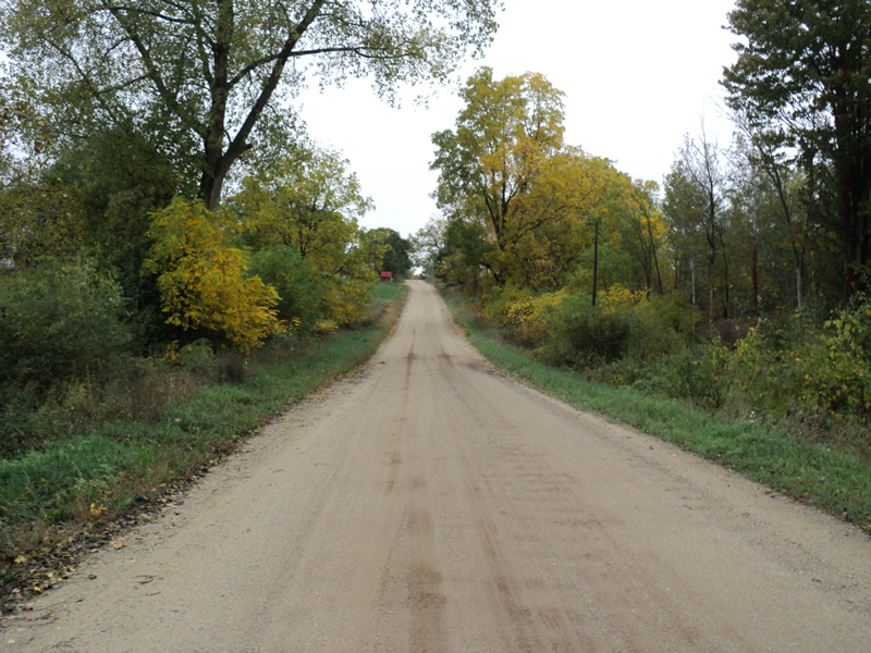
Upstream Conditions
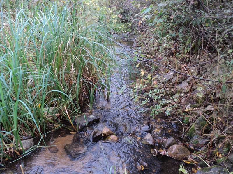
Downstream Conditions
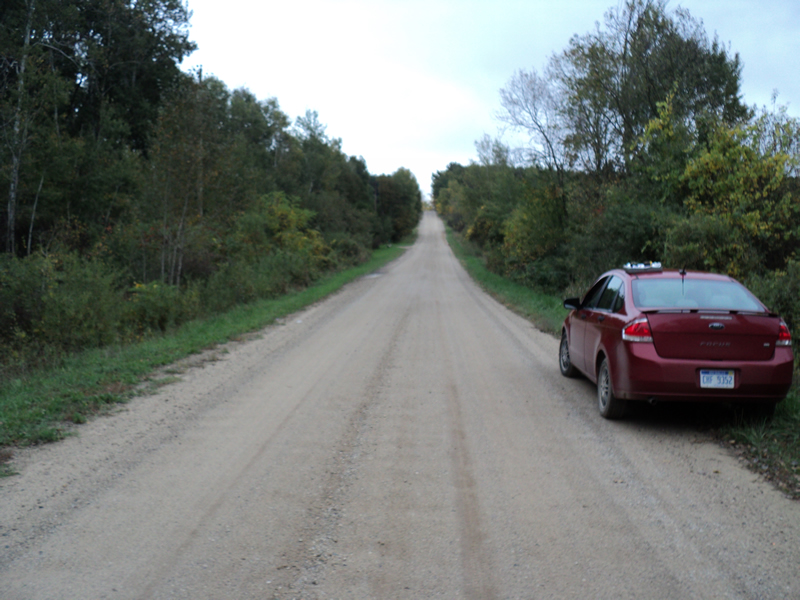
Road Approach - Left
Road Approach - Right
Crossing Information
Type of Crossing: culvert(s)
Number of Structures: 1
Structure Shape: Square/Rectangle
Inlet Type: Projecting
Outlet Type: At Stream Grade
Structure Material: Concrete
Structure Substrate: Sand
General Conditions: Good
Structure Interior: smooth
Dimensions of Structure: Length 25 ft.
, Width 14 ft.
, Height 4 ft.
Structure Inlet
Water Depth: 0.3 ft.
Water Velocity*: 0.7 ft./sec.
Structure Outlet
Water Depth: 0.3 ft.
Embedded Depth of Structure: 0.2 ft.
Water Velocity*: 0.7 ft./sec.
*Water Velocities were measured at the Surface
(with Meter)
Stream Information
Stream Flow: Bankfull
Riffle Information
Water Depth: 0.2 ft.
Bankfull Width: 8 ft.
Wetted Width: 8 ft.
Water Velocity: 0.7 ft./sec.
(Measured with Meter)
Dominant Substrate: Sand
Road Information
Gravel
County Road
Road Condition: Good
Road Width at Culvert: 19 ft.
Location of Low Point: At Stream
Runoff Path: Roadway
Embankments
Upstream
Fill Depth: 1.6 ft.
Slope: Vertical
Downstream
Fill Depth: 1.6 ft.
Slope: Vertical
Approaches
Left Approach
Length: 540 ft.
Slope: 1% to 5%
Vegetation: Heavy
LS Factor: 0.508
Erosion: 1.4358 tons/year
Right Approach
Length: 540 ft.
Slope: 6% to 10%
Vegetation: Heavy
LS Factor: 1.677
Erosion: 4.74 tons/year
Erosion Information
Total Erosion at Crossing: 6.1758 tons/year
Extent of Erosion: Minor
Notes: road erosion is minor
Summary Information
Fish Passability 0.9
�