Road Stream Crossing Site PM_N058
Pere Marquette River Watershed, Beaver Creek
Dickinson Ave
Beaver Twp,
Newaygo County
Information collected by:
Site Location
GPS Coordinates: 43.6831782247744
, -86.0192618519068
T15N
R14W
Sec 19
Owned by Private
Total Erosion: 0.0937 tons/year
Severity: Minor
Year Inventoried: 2014
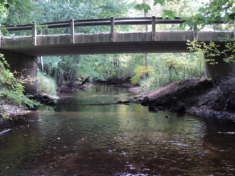
Inlet
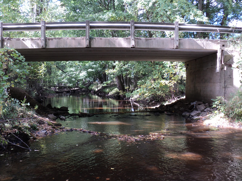
Outlet
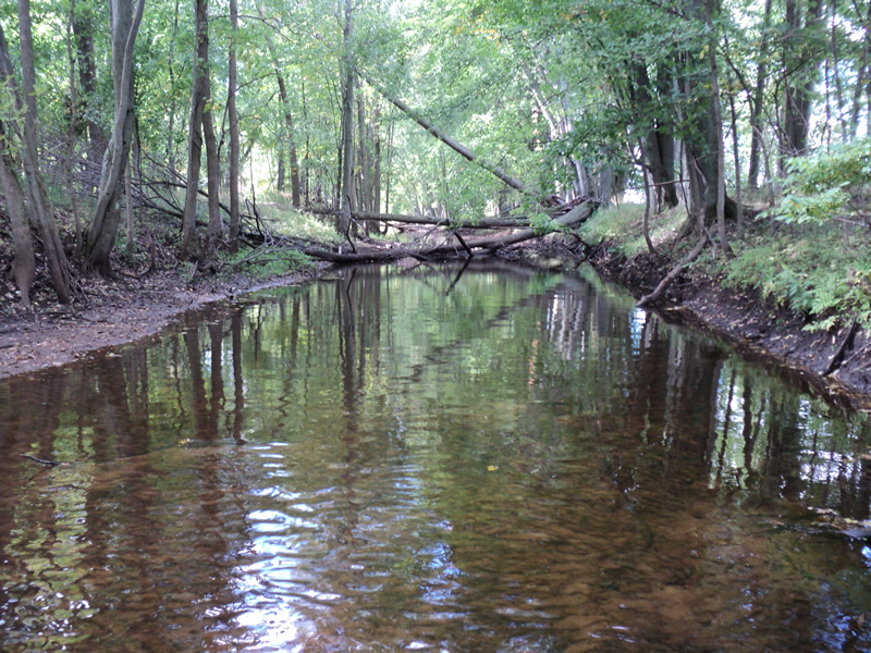
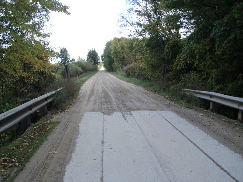
Upstream Conditions
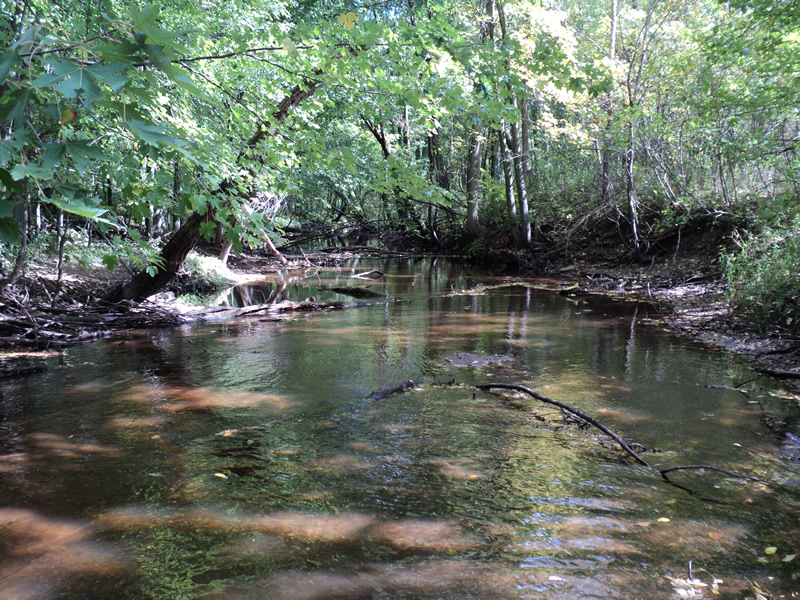
Downstream Conditions
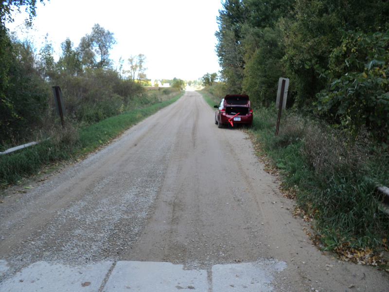
Road Approach - Left
Road Approach - Right
Crossing Information
Type of Crossing: Bridge
Structure Shape: Open Bottom Square/Rectangle
Inlet Type: Projecting
Outlet Type: At Stream Grade
Structure Material: Concrete
Structure Substrate: Mixture
General Conditions: Good
Structure Interior: smooth
Dimensions of Structure: Length 18 ft.
, Width 42 ft.
, Height 11 ft.
Structure Inlet
Water Depth: 0.5 ft.
Water Velocity*: 0.3 ft./sec.
Structure Outlet
Water Depth: 0.6 ft.
Water Velocity*: 0.7 ft./sec.
*Water Velocities were measured 0.5 ft. below Surface
(with Meter)
Stream Information
Stream Flow: Less than Bankfull
Riffle Information
Water Depth: 0.4 ft.
Bankfull Width: 30 ft.
Wetted Width: 25 ft.
Water Velocity: 0.8 ft./sec.
(Measured with Meter)
Dominant Substrate: Sand
Road Information
Gravel
County Road
Road Condition: Good
Road Width at Culvert: 17 ft.
Location of Low Point: Other
Runoff Path: Roadway
Slope: Vertical
Slope: Vertical
Approaches
Left Approach
Length: 200 ft.
Slope: Less Than 1%
Vegetation: Heavy
LS Factor: 0.05
Erosion: 0.0468 tons/year
Right Approach
Length: 200 ft.
Slope: Less Than 1%
Vegetation: Heavy
LS Factor: 0.05
Erosion: 0.0468 tons/year
Erosion Information
Total Erosion at Crossing: 0.0937 tons/year
Extent of Erosion: Moderate
Summary Information
Erosion is an area of concern for this site.
�