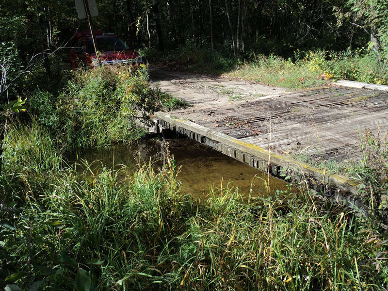
Road Stream Crossing Site PM_N059
Pere Marquette River Watershed, Cedar Creek
Bingham Ave
Lilley Twp,
Newaygo County
Information collected by:
Site Location
GPS Coordinates: 43.80893
, -85.85325
T16N
R13W
Sec 3
Owned by Private
Fish Passability 0.9
Total Erosion: 0.5612 tons/year
Severity: Moderate
Year Inventoried: 2014
Inlet
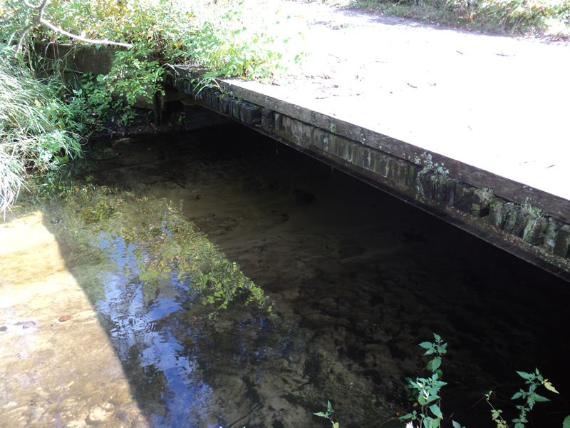
Outlet
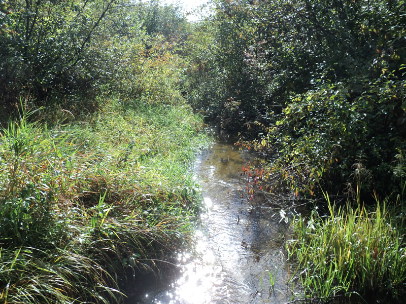
Upstream Conditions
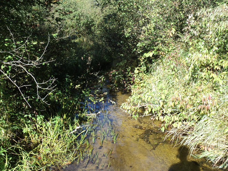
Downstream Conditions
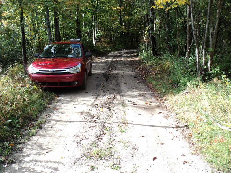
Road Approach - Left
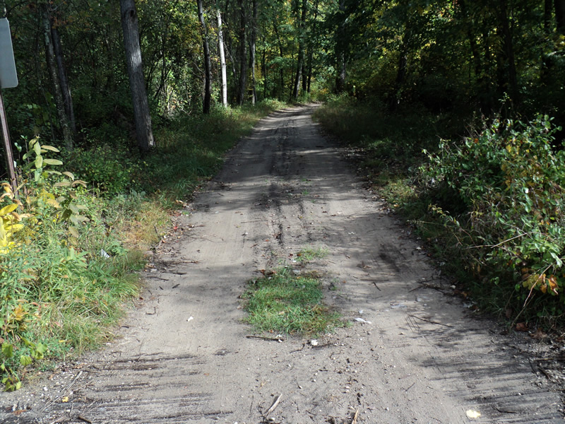
Road Approach - Right
Crossing Information
Type of Crossing: Bridge
Structure Shape: Open Bottom Square/Rectangle
Inlet Type: Wingwall 30-70 Degree
Outlet Type: At Stream Grade
Structure Material: Wood
Structure Substrate: Mixture
General Conditions: Poor
Dimensions of Structure: Length 16 ft.
, Width 20 ft.
, Height 2 ft.
Structure Inlet
Water Depth: 0.5 ft.
Water Velocity*: 0.7 ft./sec.
Structure Outlet
Water Depth: 0.5 ft.
Water Velocity*: 0.9 ft./sec.
*Water Velocities were measured 0.5 ft. below Surface
(with Meter)
Additional Comments
Bridge top is in bad condition.
Stream Information
Stream Flow: Bankfull
Riffle Information
Water Depth: 0.6 ft.
Bankfull Width: 7 ft.
Wetted Width: 7 ft.
Water Velocity: 0.8 ft./sec.
(Measured with Meter)
Dominant Substrate: Sand
Road Information
Sand
County Road
(Seasonal)
Road Condition: Poor
Road Width at Culvert: 10 ft.
Location of Low Point: At Stream
Runoff Path: Roadway
Approaches
Left Approach
Length: 280 ft.
Slope: 1% to 5%
Vegetation: Heavy
LS Factor: 0.452
Erosion: 0.3487 tons/year
Right Approach
Length: 150 ft.
Slope: 1% to 5%
Vegetation: Heavy
LS Factor: 0.4
Erosion: 0.1653 tons/year
Erosion Information
Total Erosion at Crossing: 0.5612 tons/year
Extent of Erosion: Minor
Location of Erosion | Erosion Dimensions | Eroded Material | Material Eroded | Total Erosion | ||
facing downstream | Length | Width | Depth | Reaching Stream? | (tons/year) | |
Right Approach |
150 ft. |
2 ft. |
0.1 ft. |
yes |
Sand |
0.0165 |
Left Approach |
280 ft. |
2 ft. |
0.1 ft. |
yes |
Sand |
0.0308 |
Summary Information
Fish Passability 0.9
�