Road Stream Crossing Site PM_N063
Pere Marquette River Watershed, Cedar Creek
17 Mile Rd
Lilley Twp,
Newaygo County
Information collected by:
Site Location
GPS Coordinates: 43.79997
, -85.84479
T16N
R13W
Sec 3
Owned by Private
Fish Passability 0.5
Total Erosion: 0.2169 tons/year
Severity: Moderate
Year Inventoried: 2014
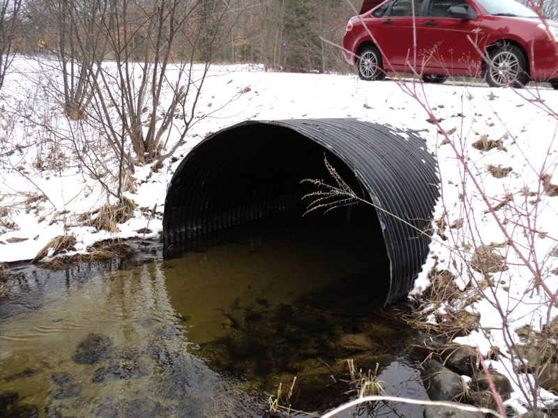
Inlet
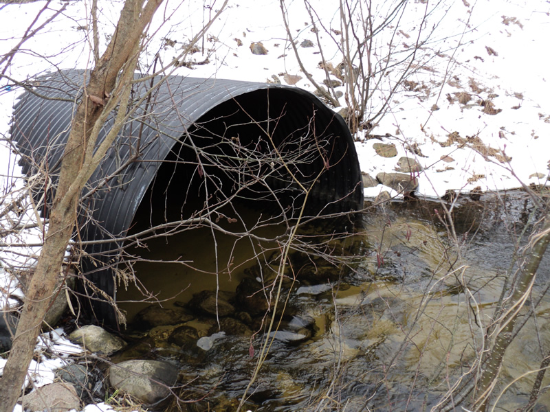
Outlet
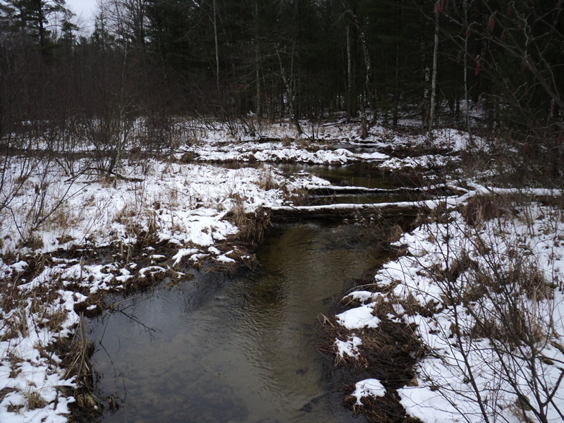
Upstream Conditions
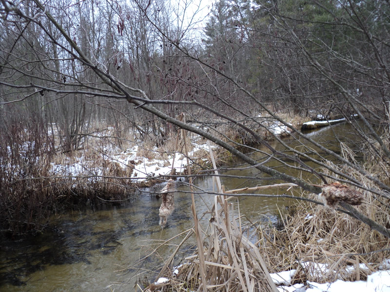
Downstream Conditions
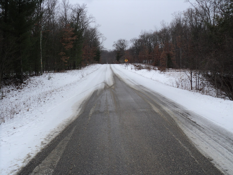
Road Approach - Left
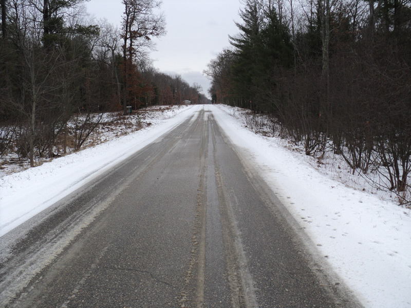
Road Approach - Right
Crossing Information
Type of Crossing: culvert(s)
Number of Structures: 1
Structure Shape: Pipe Arch
Inlet Type: Projecting
Outlet Type: At Stream Grade
Structure Material: Metal
Structure Substrate: Sand
General Conditions: New
Structure Interior: smooth
Dimensions of Structure: Length 56 ft.
, Width 7.5 ft.
, Height 5.5 ft.
Structure Inlet
Water Depth: 1.2 ft.
Water Velocity*: 1 ft./sec.
Structure Outlet
Water Depth: 1 ft.
Water Velocity*: 2.5 ft./sec.
*Water Velocities were measured 0.5 ft. below Surface
(with Meter)
Stream Information
Stream Flow: Bankfull
Scour Pool: Length 17 ft.
, Width 14 ft.
, Depth 2.8 ft.
Riffle Information
Water Depth: 0.8 ft.
Bankfull Width: 16 ft.
Wetted Width: 16 ft.
Water Velocity: 1.3 ft./sec.
(Measured with Meter)
Dominant Substrate: Sand
Road Information
Paved
County Road
Road Condition: Good
Road Width at Culvert: 19 ft.
Location of Low Point: At Stream
Runoff Path: Ditch
Embankments
Upstream
Fill Depth: 1 ft.
Slope: 1:2
Downstream
Fill Depth: 1.7 ft.
Slope: 1:2
Approaches
Left Approach
Length: 370 ft.
Slope: 1% to 5%
Vegetation: Heavy
LS Factor: 0.474
Erosion: 0.1102 tons/year
Right Approach
Length: 360 ft.
Slope: 1% to 5%
Vegetation: Heavy
LS Factor: 0.472
Erosion: 0.1067 tons/year
Erosion Information
Total Erosion at Crossing: 0.2169 tons/year
Summary Information
Fish Passability 0.5
�