Road Stream Crossing Site PM_N065
Pere Marquette River Watershed, Cedar Creek
M-37
Lilley Twp,
Newaygo County
Information collected by:
Site Location
GPS Coordinates: 43.8066181298253
, -85.8495812863112
T16N
R13W
Sec 3
Owned by Private
Total Erosion: 0.4253 tons/year
Severity: Moderate
Year Inventoried: 2014
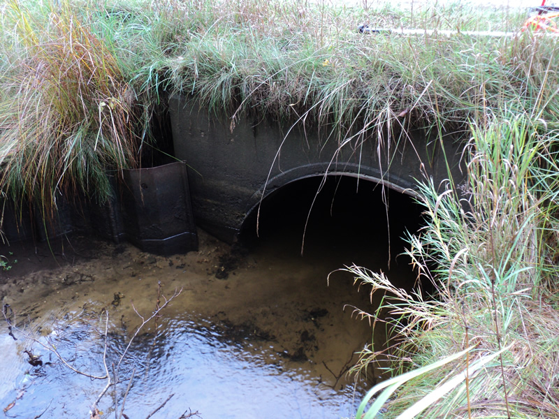
Inlet
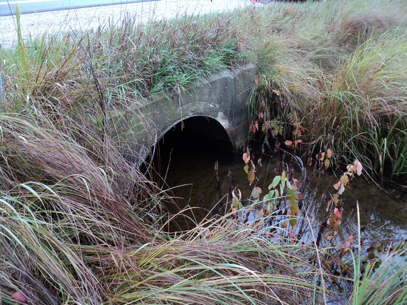
Outlet
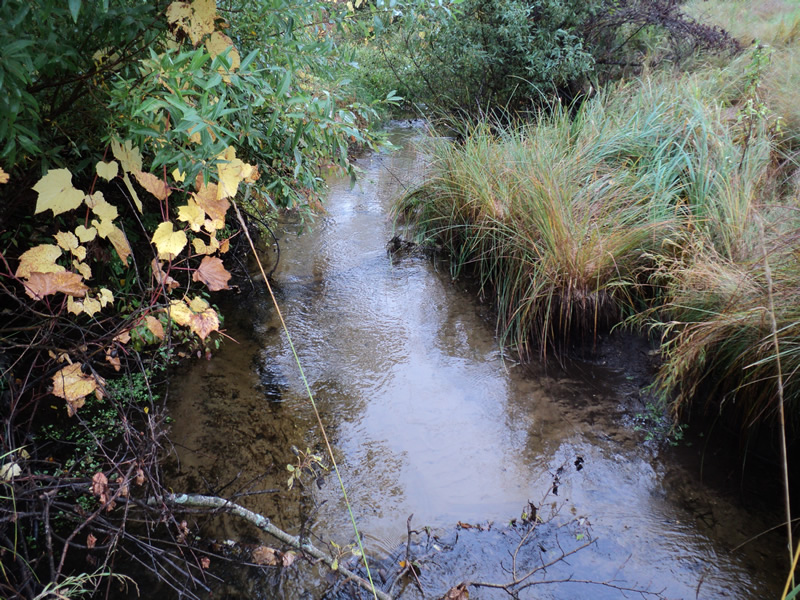
Upstream Conditions
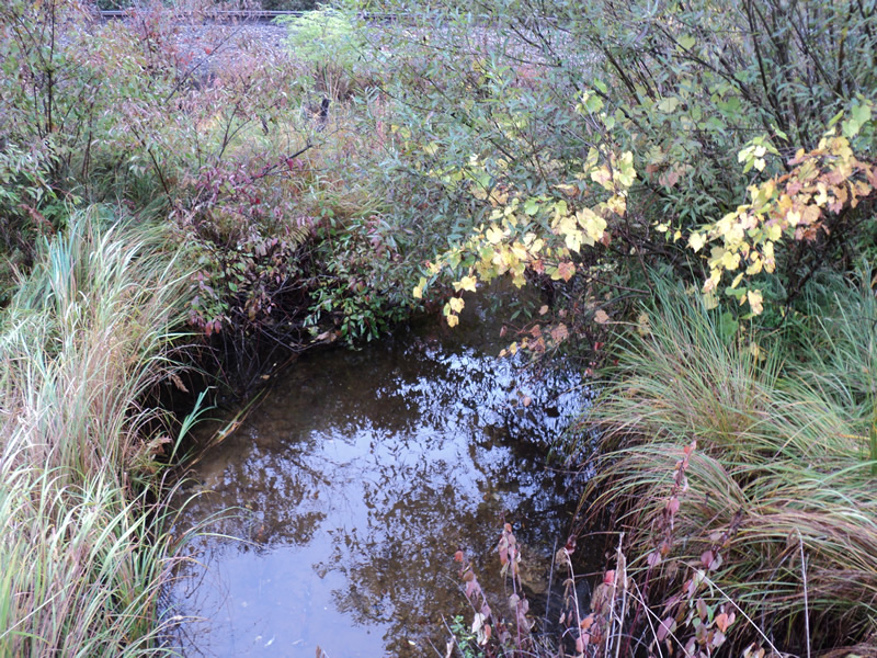
Downstream Conditions
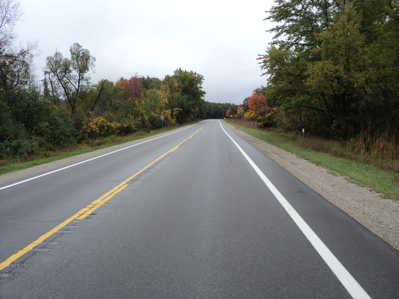
Road Approach - Left
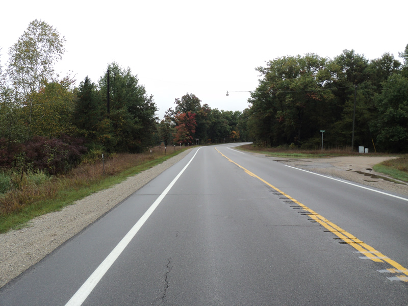
Road Approach - Right
Crossing Information
Type of Crossing: culvert(s)
Number of Structures: 1
Structure Shape: Pipe Arch
Inlet Type: Headwall
Outlet Type: At Stream Grade
Structure Material: Metal
Structure Substrate: Sand
General Conditions: Good
Structure Interior: corrugated
Dimensions of Structure: Length 50 ft.
, Width 5 ft.
, Height 3 ft.
Structure Inlet
Water Depth: 1.2 ft.
Water Velocity*: 0.4 ft./sec.
Structure Outlet
Water Depth: 1.1 ft.
Water Velocity*: 0.5 ft./sec.
*Water Velocities were measured 1 ft. below Surface
(with Meter)
Additional Comments
Outer bank at inlet has steel wall for erosion control-25-30ft
Stream Information
Stream Flow: Bankfull
Riffle Information
Water Depth: 0.4 ft.
Bankfull Width: 7 ft.
Wetted Width: 7 ft.
Water Velocity: 1.4 ft./sec.
(Measured with Meter)
Dominant Substrate: Sand
Road Information
Paved
State Road
Road Condition: Good
Road Width at Culvert: 30 ft.
Location of Low Point: At Stream
Runoff Path: Ditch
Embankments
Upstream
Fill Depth: 1.5 ft.
Slope: Vertical
Downstream
Fill Depth: 1.5 ft.
Slope: Vertical
Approaches
Left Approach
Length: 650 ft.
Slope: 1% to 5%
Vegetation: Heavy
LS Factor: 0.528
Erosion: 0.34 tons/year
Right Approach
Length: 200 ft.
Slope: 1% to 5%
Vegetation: Heavy
LS Factor: 0.43
Erosion: 0.0853 tons/year
Erosion Information
Total Erosion at Crossing: 0.4253 tons/year
Extent of Erosion: Minor
Summary Information
Erosion is an area of concern for this site.
�