Road Stream Crossing Site PM_O003
Pere Marquette River Watershed, Ruby Creek
176th Ave
Colfax Twp,
Oceana County
Information collected by:
Site Location
GPS Coordinates: 43.805599944347
, -86.1179161816835
T16N
R15W
Sec 4
Owned by Private
Federal
Federal
Total Erosion: 0.3041 tons/year
Severity: Restored
Year Inventoried: 2014
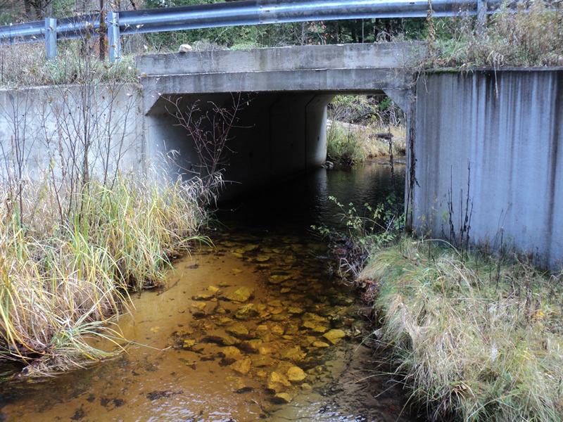
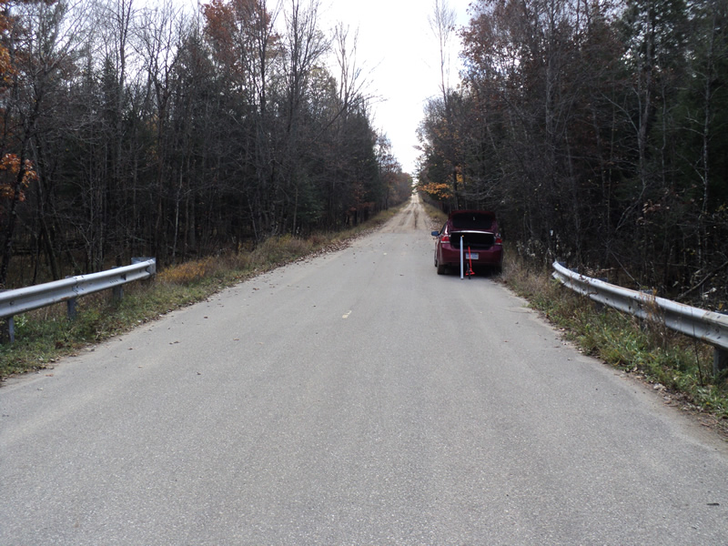
Inlet
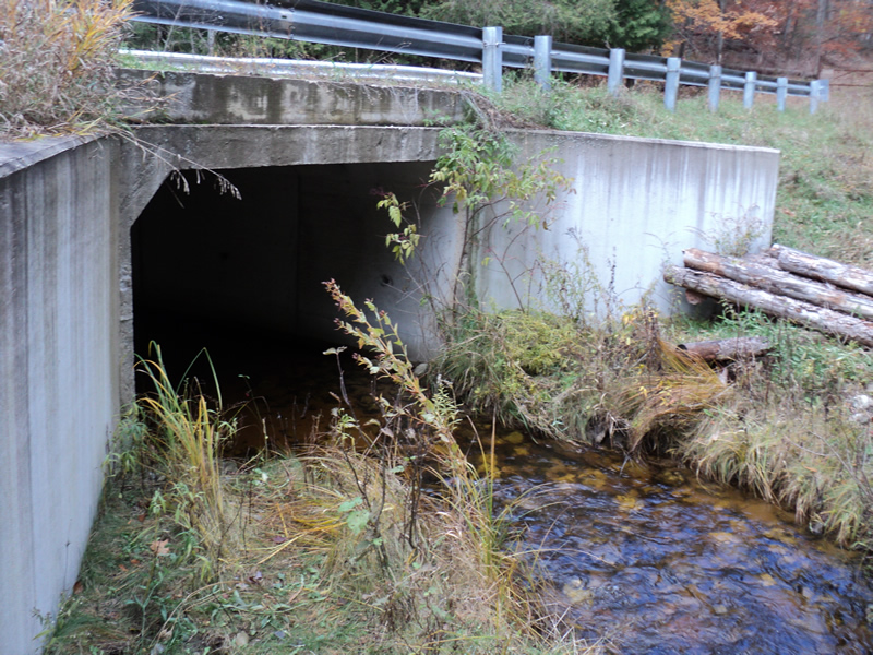
Outlet
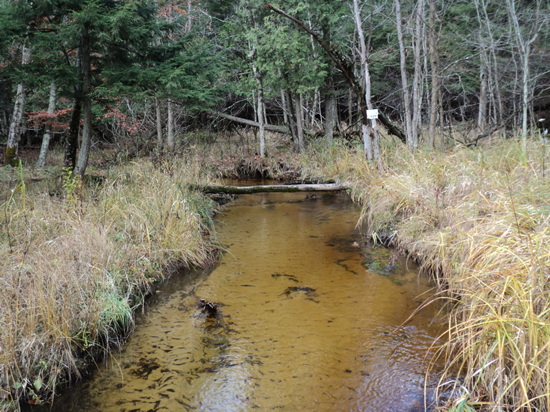
Upstream Conditions
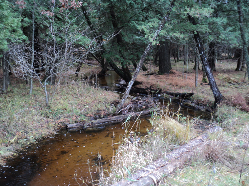
Downstream Conditions
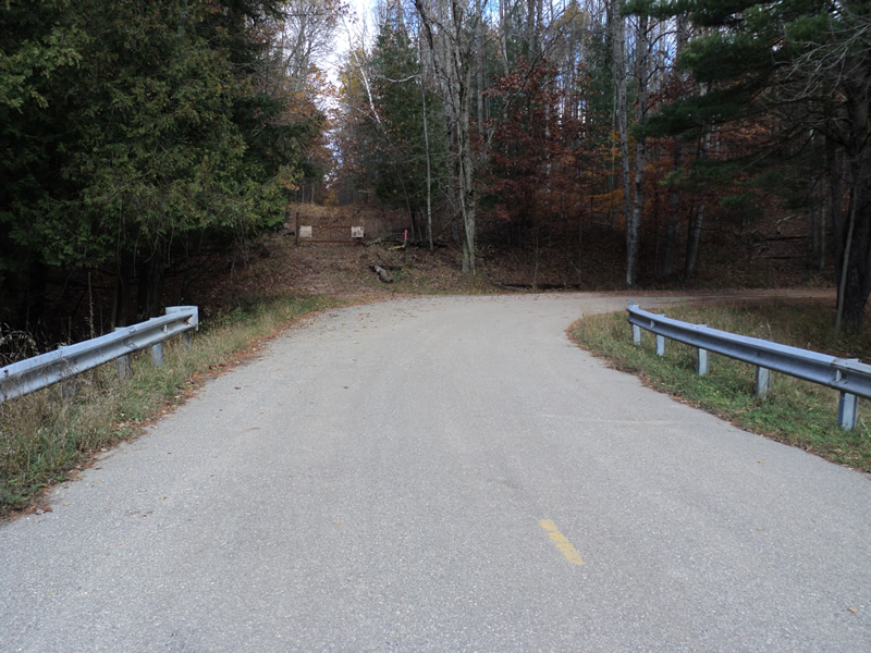
Road Approach - Left
Road Approach - Right
Crossing Information
Type of Crossing: culvert(s)
Number of Structures: 1
Structure Shape: Open Bottom Square/Rectangle
Inlet Type: Wingwall 30-70 Degree
Outlet Type: At Stream Grade
Structure Material: Concrete
Structure Substrate: Mixture
General Conditions: Good
Structure Interior: smooth
Dimensions of Structure: Length 29 ft.
, Width 12 ft.
, Height 7.5 ft.
Structure Inlet
Water Depth: 0.9 ft.
Water Velocity*: 1.5 ft./sec.
Structure Outlet
Water Depth: 0.7 ft.
Water Velocity*: 1.7 ft./sec.
*Water Velocities were measured 0.9 ft. below Surface
(with Meter)
Additional Comments
Large Brown Trout present. Lots of timbers used along downstream streambanks.
Stream Information
Stream Flow: Bankfull
Riffle Information
Water Depth: 0.6 ft.
Bankfull Width: 11 ft.
Wetted Width: 11 ft.
Water Velocity: 1.3 ft./sec.
(Measured with Meter)
Dominant Substrate: Sand
Road Information
Gravel
County Road
Road Condition: Fair
Road Width at Culvert: 23 ft.
Location of Low Point: Other
Runoff Path: Ditch
Embankments
Upstream
Fill Depth: 2 ft.
Slope: Vertical
Downstream
Fill Depth: 2 ft.
Slope: Vertical
Approaches
Left Approach
Length: 100 ft.
Slope: 1% to 5%
Vegetation: Heavy
LS Factor: 0.38
Erosion: 0.2408 tons/year
Right Approach
Length: 200 ft.
Slope: Less Than 1%
Vegetation: Heavy
LS Factor: 0.05
Erosion: 0.0634 tons/year
Erosion Information
Total Erosion at Crossing: 0.3041 tons/year
Extent of Erosion: Minor
Notes:
lots of timbers used downstream to stabilize banks
Summary Information
Erosion is an area of concern for this site.
�