Road Stream Crossing Site PM_O011
Pere Marquette River Watershed, Beaver Creek
184th Ave
Leavitt Twp,
Oceana County
Information collected by:
Site Location
GPS Coordinates: 43.70943
, -86.0989
T15N
R15W
Sec 10
Owned by Private
Fish Passability 0
Perch Height: 0.3 ft.
Total Erosion: 3.0013 tons/year
Severity: Severe
Year Inventoried: 2014
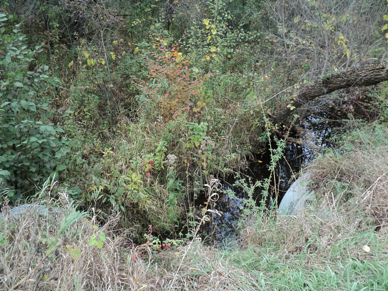
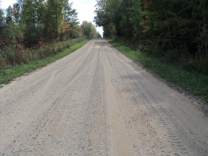
Inlet
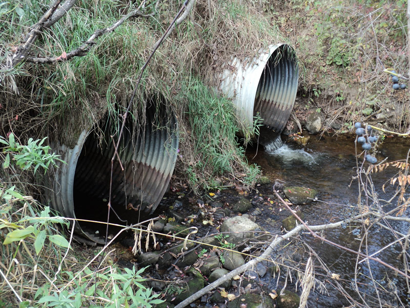
Outlet
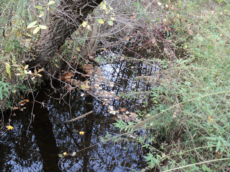
Upstream Conditions
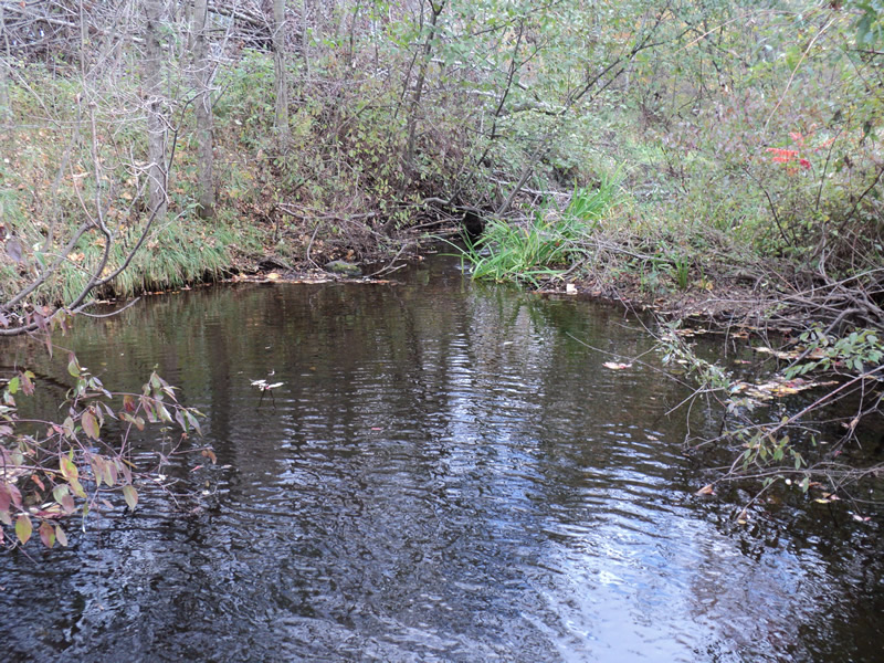
Downstream Conditions
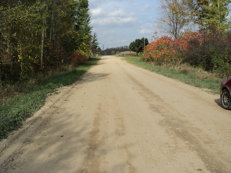
Road Approach - Left
Road Approach - Right
Crossing Information
Type of Crossing: culvert(s)
Number of Structures: 2
Structure Shape: Round
Inlet Type: Projecting
Outlet Type: Freefall into Pool
Structure Material: Metal
Structure Substrate: None
General Conditions: Poor
Structure Interior: corrugated
Structure is Rusted through
Dimensions of Structure: Length 50 ft.
, Width 5 ft.
, Height 5 ft.
Perch Height: 0.3 ft.
Structure Inlet
Water Depth: 0.8 ft.
Water Velocity*: 0.4 ft./sec.
Structure Outlet
Water Depth: 0.3 ft.
Water Velocity*: 4 ft./sec.
*Water Velocities were measured 0.2 ft. below Surface
(with Meter)
Additional Comments
left culvert gets 90% of the flow
Stream Information
Stream Flow: Bankfull
Scour Pool: Length 25 ft.
, Width 30 ft.
, Depth 2.5 ft.
Riffle Information
Water Depth: 0.3 ft.
Bankfull Width: 12 ft.
Wetted Width: 12 ft.
Water Velocity: 0.7 ft./sec.
(Measured with Meter)
Dominant Substrate: Sand
Road Information
Gravel
County Road
Road Condition: Good
Road Width at Culvert: 20 ft.
Location of Low Point: At Stream
Runoff Path: Roadway
Embankments
Upstream
Fill Depth: 3.1 ft.
Slope: 1:1.5
Downstream
Fill Depth: 3.2 ft.
Slope: 1:1
Approaches
Left Approach
Length: 400 ft.
Slope: 1% to 5%
Vegetation: Heavy
LS Factor: 0.48
Erosion: 1.0579 tons/year
Right Approach
Length: 240 ft.
Slope: 6% to 10%
Vegetation: Heavy
LS Factor: 1.302
Erosion: 1.7217 tons/year
Erosion Information
Total Erosion at Crossing: 3.0013 tons/year
Extent of Erosion: Moderate
Location of Erosion | Erosion Dimensions | Eroded Material | Material Eroded | Total Erosion | ||
facing downstream | Length | Width | Depth | Reaching Stream? | (tons/year) | |
Left Downstream Embankment |
6 ft. |
2 ft. |
1 ft. |
yes |
Loam |
0.037 |
Left Downstream Streambank |
8 ft. |
5 ft. |
2 ft. |
yes |
Loam |
0.0986 |
Right Downstream Embankment |
7 ft. |
2 ft. |
2 ft. |
yes |
Loam |
0.0862 |
Summary Information
Fish Passability 0
�