Road Stream Crossing Site PM_O012
Pere Marquette River Watershed, Beaver Creek
Harrison Rd
Leavitt Twp,
Oceana County
Information collected by:
Site Location
GPS Coordinates: 43.7139847582896
, -86.0990595817566
T15N
R15W
Sec 4
Owned by Private
Total Erosion: 0.6193 tons/year
Severity: Moderate
Year Inventoried: 2014
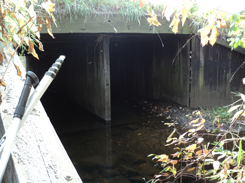
Inlet
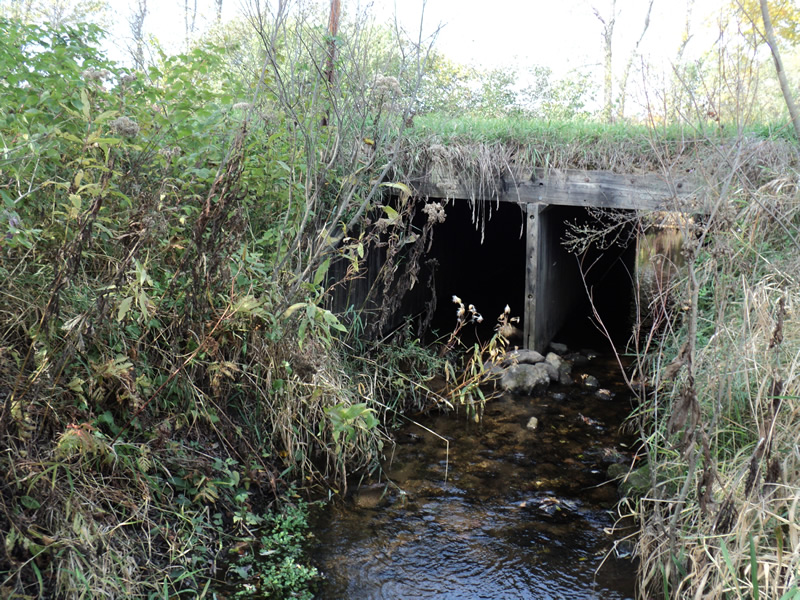
Outlet
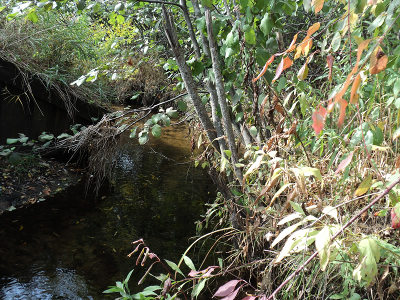
Upstream Conditions
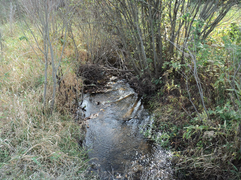
Downstream Conditions
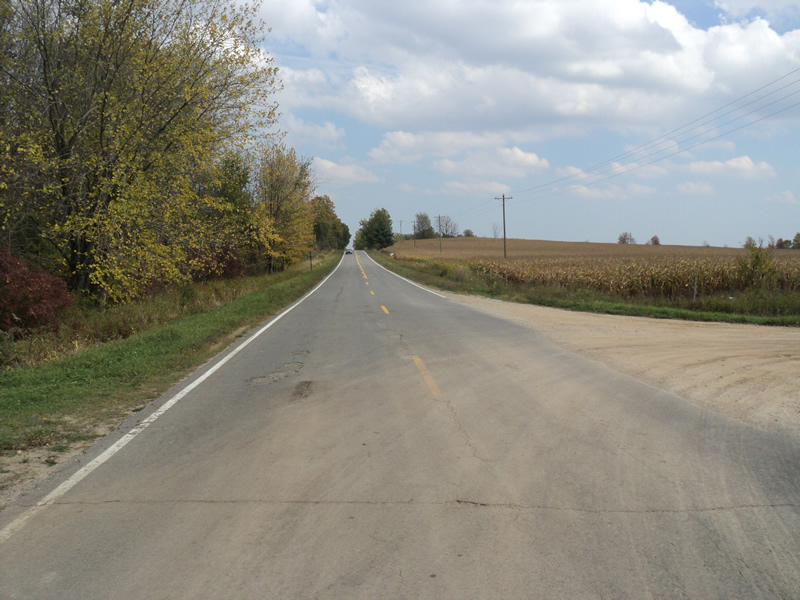
Road Approach - Left
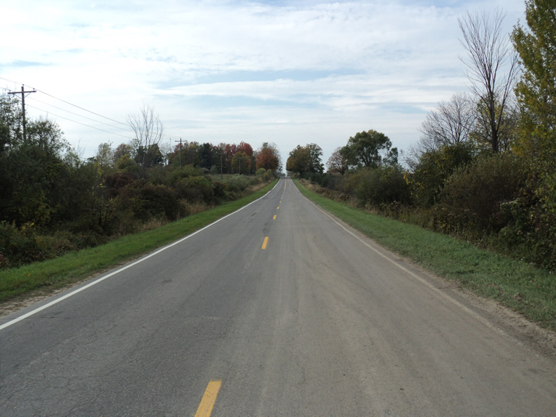
Road Approach - Right
Crossing Information
Type of Crossing: culvert(s)
Number of Structures: 2
Structure Shape: Square/Rectangle
Inlet Type: Wingwall 10-30 Degree
Outlet Type: At Stream Grade
Structure Material: Wood
Structure Substrate: None
General Conditions: Good
Structure Interior: smooth
Dimensions of Structure: Length 47 ft.
, Width 5 ft.
, Height 5 ft.
Structure Inlet
Water Depth: 0.2 ft.
Water Velocity*: 0.6 ft./sec.
Structure Outlet
Water Depth: 0.4 ft.
Water Velocity*: 0.9 ft./sec.
*Water Velocities were measured 0.2 ft. below Surface
(with Meter)
Stream Information
Stream Flow: Bankfull
Riffle Information
Water Depth: 0.2 ft.
Bankfull Width: 7 ft.
Wetted Width: 7 ft.
Water Velocity: 0.4 ft./sec.
(Measured with Meter)
Dominant Substrate: Sand
Road Information
Paved
County Road
Road Condition: Good
Road Width at Culvert: 23 ft.
Location of Low Point: At Stream
Runoff Path: Ditch
Embankments
Upstream
Fill Depth: 0.4 ft.
Slope: Vertical
Downstream
Fill Depth: 0.4 ft.
Slope: Vertical
Approaches
Left Approach
Length: 700 ft.
Slope: 1% to 5%
Vegetation: Heavy
LS Factor: 0.535
Erosion: 0.2847 tons/year
Right Approach
Length: 800 ft.
Slope: 1% to 5%
Vegetation: Heavy
LS Factor: 0.55
Erosion: 0.3345 tons/year
Erosion Information
Total Erosion at Crossing: 0.6193 tons/year
Extent of Erosion: Moderate
Summary Information
Erosion is an area of concern for this site.
�