Road Stream Crossing Site PM_O014
Pere Marquette River Watershed, Beaver Creek
190th Ave
Leavitt Twp,
Oceana County
Information collected by:
Site Location
GPS Coordinates: 43.70616
, -86.08379
T15N
R15W
Sec 10
Owned by Private
Fish Passability 0.5
Total Erosion: 0.6582 tons/year
Severity: Moderate
Year Inventoried: 2014
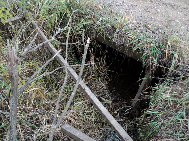
Inlet
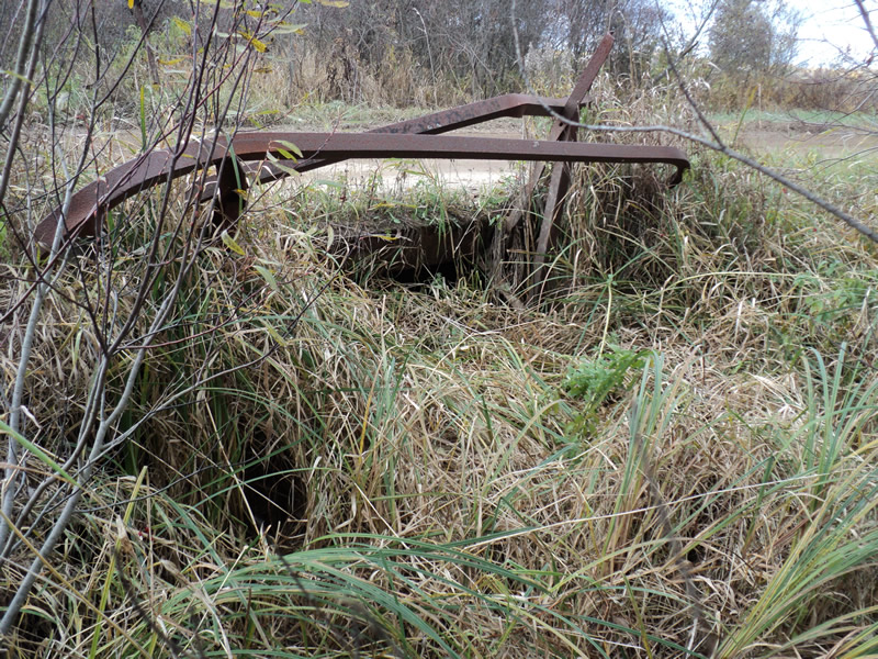
Outlet
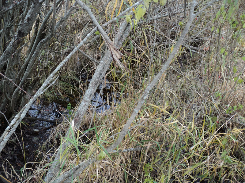
Upstream Conditions
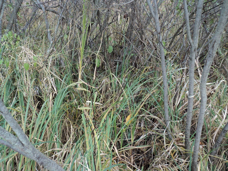
Downstream Conditions
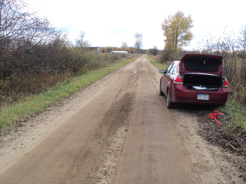
Road Approach - Left
Road Approach - Right
Crossing Information
Type of Crossing: Bridge
Structure Shape: Open Bottom Square/Rectangle
Inlet Type: Wingwall 30-70 Degree
Outlet Type: At Stream Grade
Structure Material: Concrete
Structure Substrate: Mixture
General Conditions: Poor
Structure Interior: smooth
Dimensions of Structure: Length 17 ft.
, Width 8 ft.
, Height 3 ft.
Structure Inlet
Water Depth: 0.1 ft.
Water Velocity*: 0.1 ft./sec.
Structure Outlet
Water Depth: 0.1 ft.
Water Velocity*: 0.1 ft./sec.
*Water Velocities were measured 0.1 ft. below Surface
(with Meter)
Additional Comments
Railing is destroyed.
Channel is filled in with soil.
Stream Information
Stream Flow: Less than Bankfull
Riffle Information
Water Depth: 0.2 ft.
Bankfull Width: 4 ft.
Wetted Width: 3.5 ft.
Water Velocity: 0.1 ft./sec.
(Measured with Meter)
Dominant Substrate: Sand
Road Information
Gravel
County Road
Road Condition: Fair
Road Width at Culvert: 12 ft.
Location of Low Point: At Stream
Runoff Path: Roadway
Approaches
Left Approach
Length: 240 ft.
Slope: 1% to 5%
Vegetation: Heavy
LS Factor: 0.438
Erosion: 0.3475 tons/year
Right Approach
Length: 200 ft.
Slope: 1% to 5%
Vegetation: Heavy
LS Factor: 0.43
Erosion: 0.2843 tons/year
Erosion Information
Total Erosion at Crossing: 0.6582 tons/year
Extent of Erosion: Minor
Location of Erosion | Erosion Dimensions | Eroded Material | Material Eroded | Total Erosion | ||
facing downstream | Length | Width | Depth | Reaching Stream? | (tons/year) | |
Left Approach |
240 ft. |
2 ft. |
0.1 ft. |
yes |
Sand |
0.0264 |
Summary Information
Fish Passability 0.5
A future visit to this site is recommended. bad condition-falling apart
�