Road Stream Crossing Site PM_O017
Pere Marquette River Watershed, Beaver Creek
168th Ave
Colfax Twp,
Oceana County
Information collected by:
Site Location
GPS Coordinates: 43.73211
, -86.13814
T16N
R15W
Sec 32
Owned by Private
Fish Passability 0.5
Total Erosion: 2.4545 tons/year
Severity: Moderate
Year Inventoried: 2014
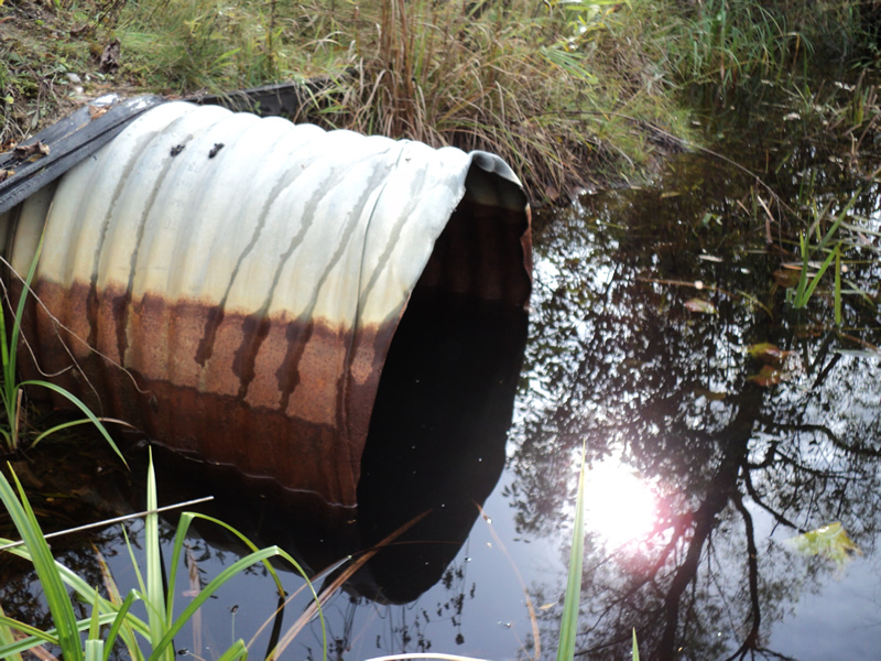
Inlet
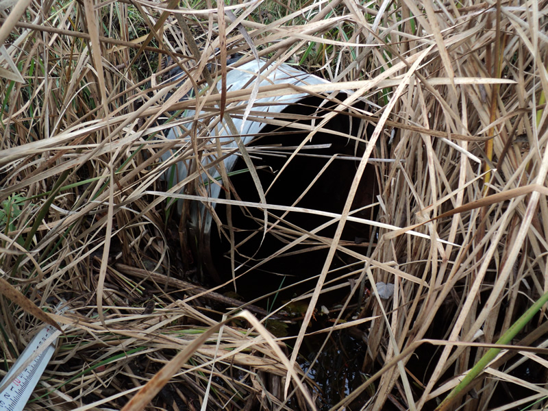
Outlet
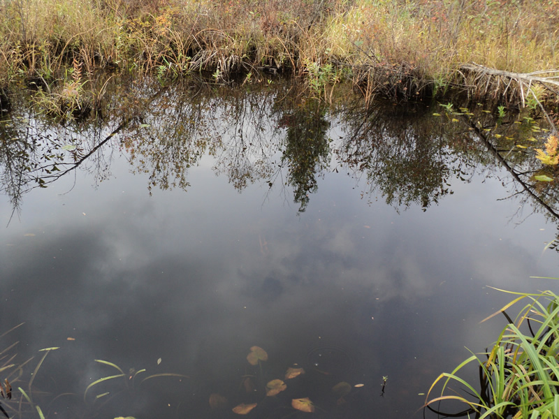
Upstream Conditions
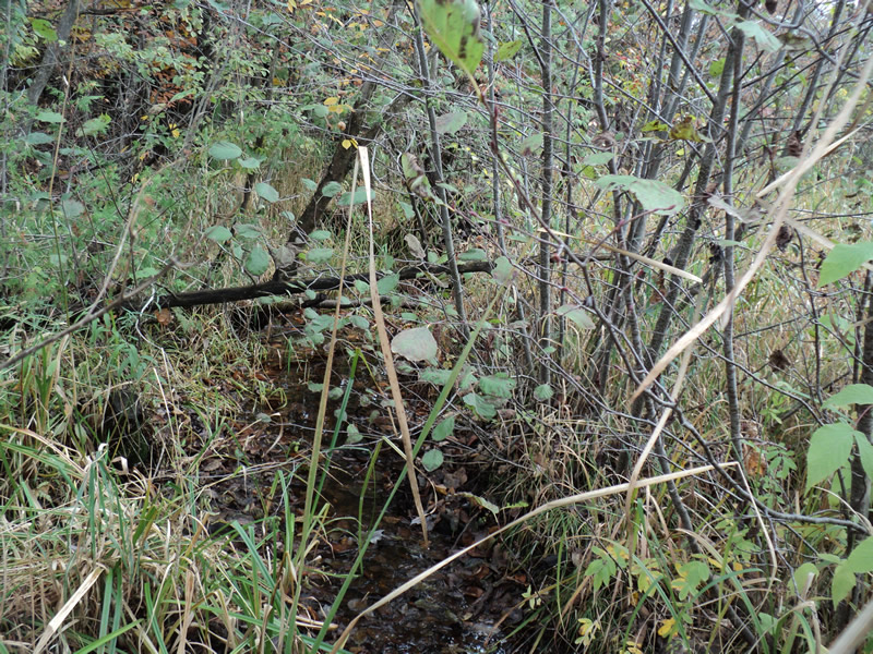
Downstream Conditions
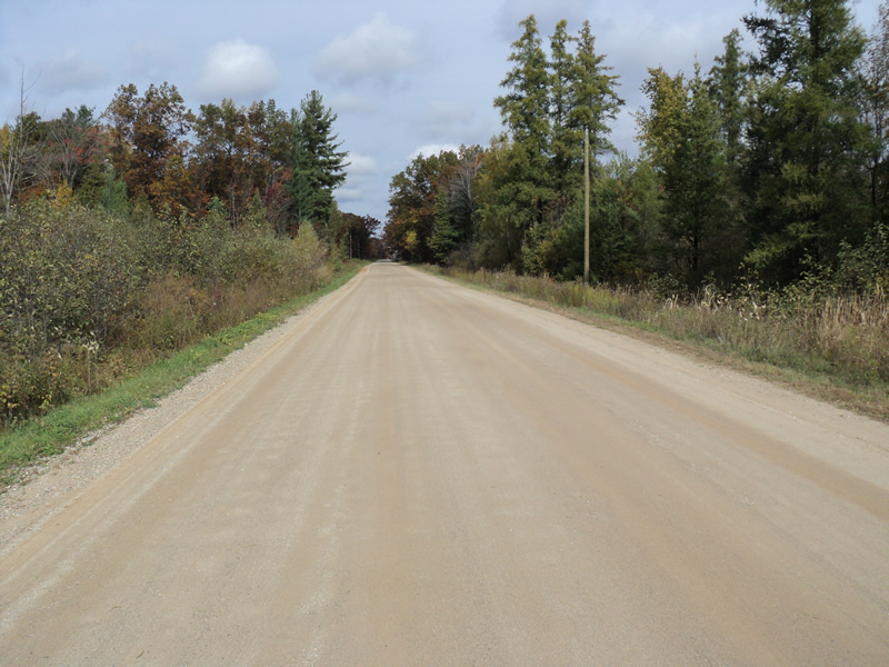
Road Approach - Left
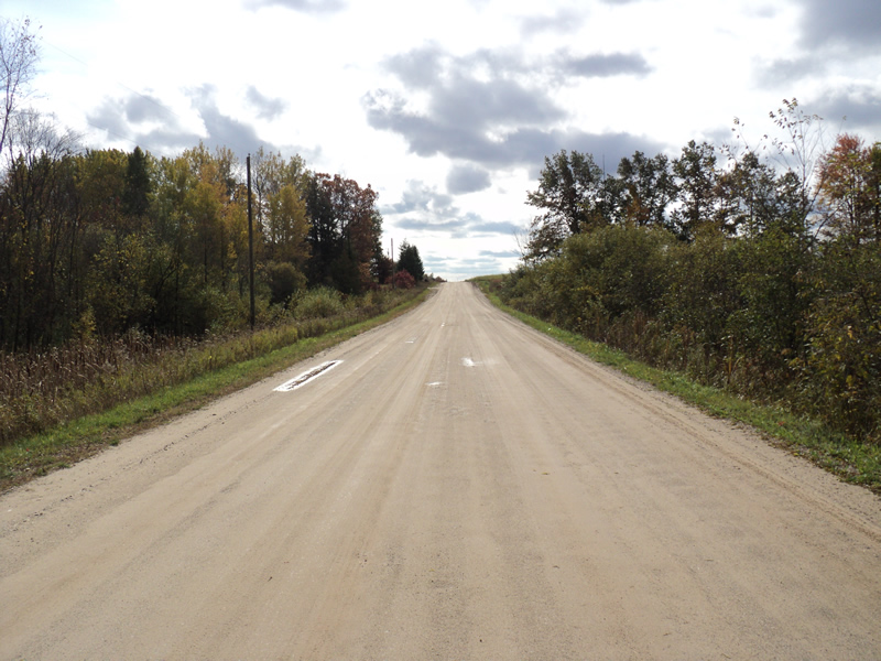
Road Approach - Right
Crossing Information
Type of Crossing: culvert(s)
Number of Structures: 1
Structure Shape: Round
Inlet Type: Projecting
Outlet Type: At Stream Grade
Structure Material: Metal
Structure Substrate: None
General Conditions: Good
Structure Interior: corrugated
Dimensions of Structure: Length 60 ft.
, Width 2.5 ft.
, Height 2.5 ft.
Structure Inlet
Water Depth: 1.4 ft.
Water Velocity*: 0 ft./sec.
Structure Outlet
Water Depth: 0.4 ft.
Water Velocity*: 0 ft./sec.
*Water Velocities were measured 1 ft. below Surface
(with Meter)
Additional Comments
Upstream area is a large wetland.
Stream Information
Stream Flow: Less than Bankfull
Upstream Pond: Length 28 ft.
, Width 15 ft.
, Depth 1 ft.
Riffle Information
Water Depth: 0.2 ft.
Bankfull Width: 4 ft.
Wetted Width: 3.5 ft.
Water Velocity: 0.2 ft./sec.
(Measured with Meter)
Dominant Substrate: Organics
Road Information
Gravel
County Road
Road Condition: Good
Road Width at Culvert: 27 ft.
Location of Low Point: At Stream
Runoff Path: Ditch
Embankments
Upstream
Fill Depth: 2 ft.
Slope: 1:1.5
Downstream
Fill Depth: 2 ft.
Slope: More than 1:2
Approaches
Left Approach
Length: 300 ft.
Slope: 1% to 5%
Vegetation: Heavy
LS Factor: 0.46
Erosion: 1.0264 tons/year
Right Approach
Length: 400 ft.
Slope: 1% to 5%
Vegetation: Heavy
LS Factor: 0.48
Erosion: 1.4281 tons/year
Erosion Information
Total Erosion at Crossing: 2.4545 tons/year
Summary Information
Fish Passability 0.5
�