Road Stream Crossing Site PM_O019
Pere Marquette River Watershed, Beaver Creek
168th Ave
Leavitt Twp,
Oceana County
Information collected by:
Site Location
GPS Coordinates: 43.661377935362
, -86.13903388381
T15N
R15W
Sec 30
Owned by Private
Federal
Federal
Total Erosion: 4.0883 tons/year
Severity: Severe
Year Inventoried: 2014
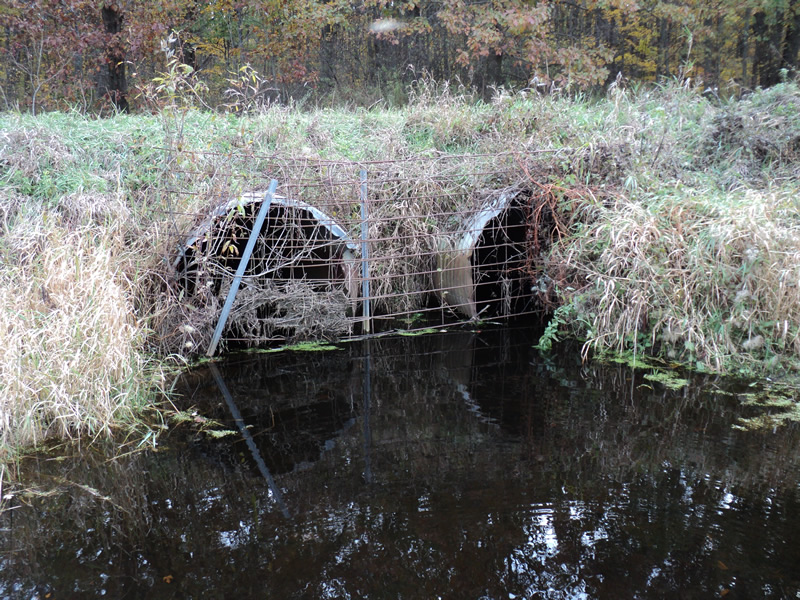
Inlet
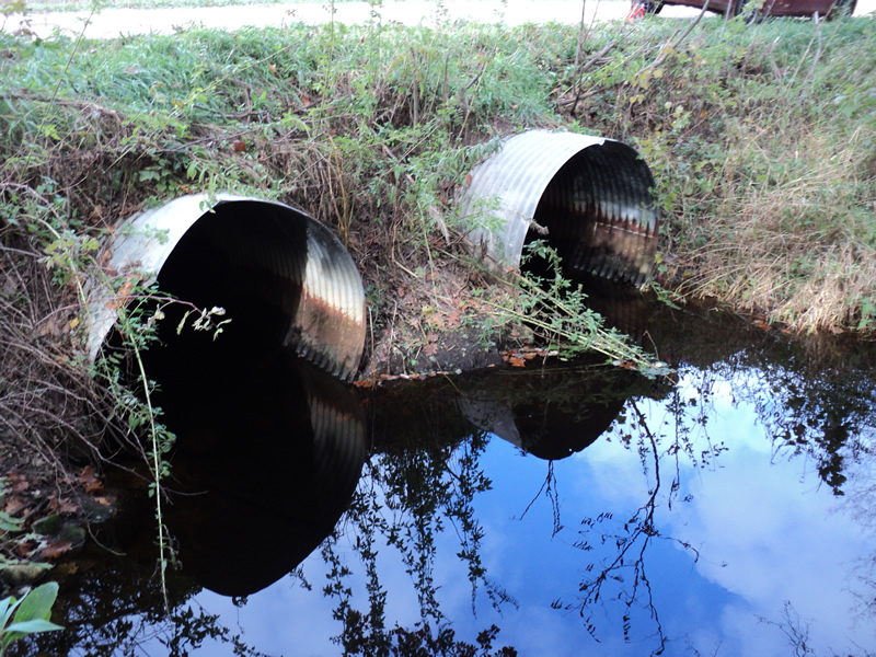
Outlet
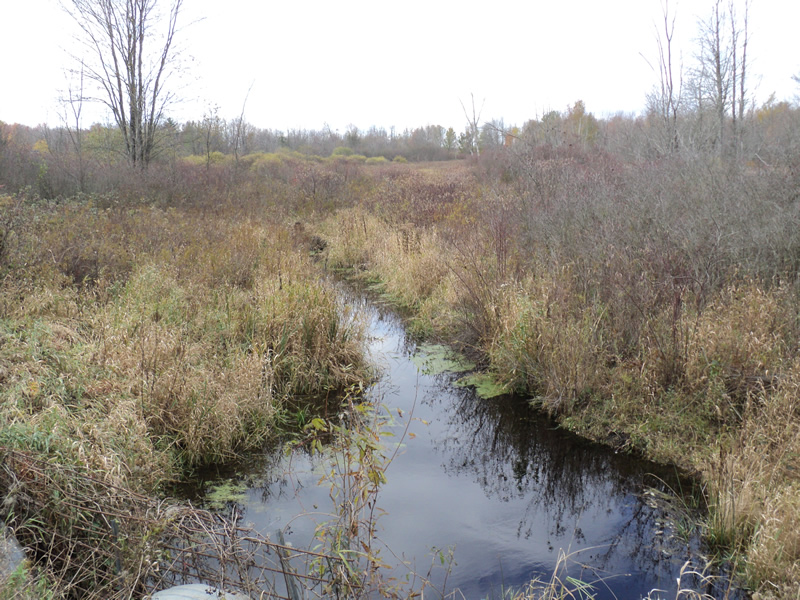
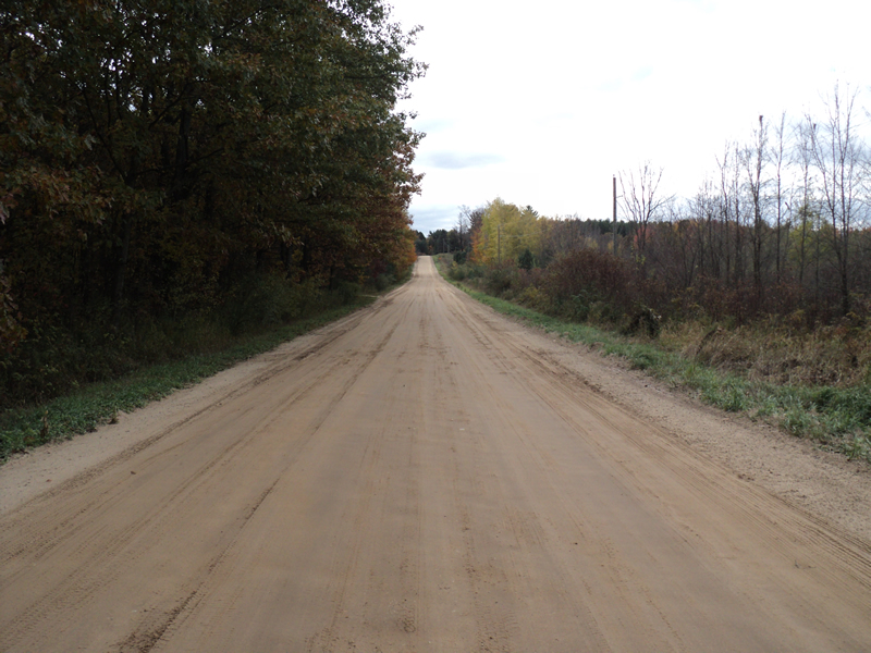
Upstream Conditions
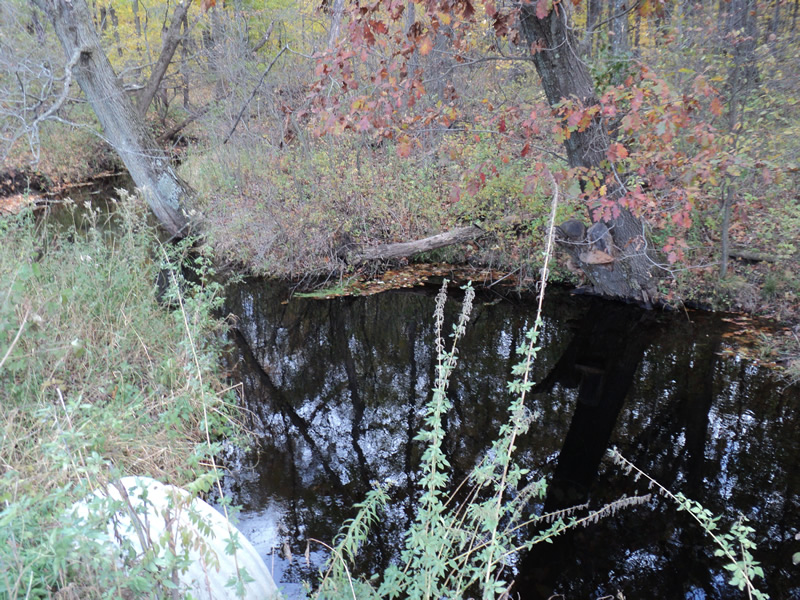
Downstream Conditions
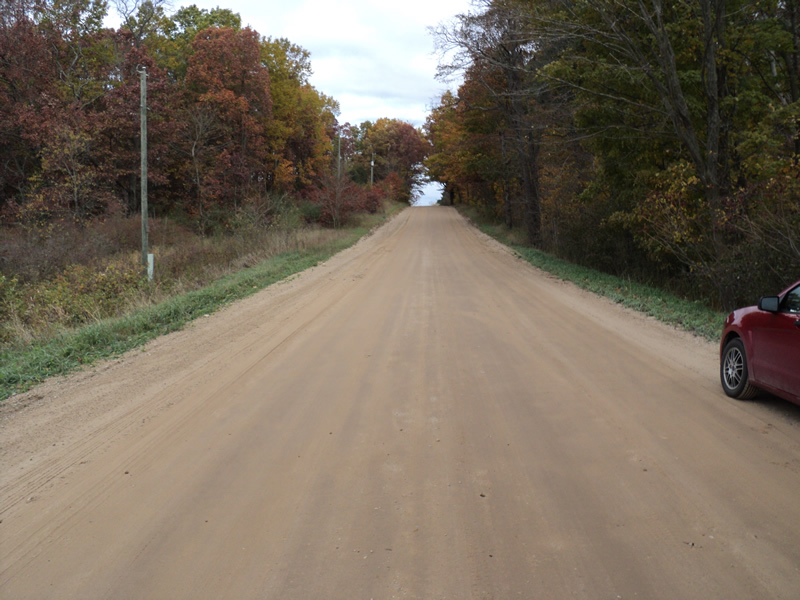
Road Approach - Left
Road Approach - Right
Crossing Information
Type of Crossing: culvert(s)
Number of Structures: 2
Structure Shape: Round
Inlet Type: Trash Rack
Outlet Type: At Stream Grade
Structure Material: Metal
Structure Substrate: None
General Conditions: Fair
Structure Interior: corrugated
Structure is Rusted through
Dimensions of Structure: Length 48 ft.
, Width 5 ft.
, Height 5 ft.
Structure Inlet
Water Depth: 0.5 ft.
Water Velocity*: 0.3 ft./sec.
Structure Outlet
Water Depth: 1 ft.
Water Velocity*: 0.3 ft./sec.
*Water Velocities were measured 0.5 ft. below Surface
(with Meter)
Additional Comments
Inlet has steel grates across it to block debris.
Stream Information
Stream Flow: Less than Bankfull
Scour Pool: Length 20 ft.
, Width 20 ft.
, Depth 2 ft.
Upstream Pond: Length 15 ft.
, Width 12 ft.
Riffle Information
Water Depth: 0.4 ft.
Bankfull Width: 15 ft.
Wetted Width: 14 ft.
Water Velocity: 0.3 ft./sec.
(Measured with Meter)
Dominant Substrate: Sand
Road Information
Sand
County Road
Road Condition: Good
Road Width at Culvert: 27 ft.
Location of Low Point: At Stream
Runoff Path: Roadway
Embankments
Upstream
Fill Depth: 1 ft.
Slope: 1:2
Downstream
Fill Depth: 1.8 ft.
Slope: 1:1.5
Approaches
Left Approach
Length: 300 ft.
Slope: 1% to 5%
Vegetation: Heavy
LS Factor: 0.46
Erosion: 1.0264 tons/year
Right Approach
Length: 600 ft.
Slope: 1% to 5%
Vegetation: Heavy
LS Factor: 0.52
Erosion: 2.3207 tons/year
Erosion Information
Total Erosion at Crossing: 4.0883 tons/year
Extent of Erosion: Moderate
Location of Erosion | Erosion Dimensions | Eroded Material | Material Eroded | Total Erosion | ||
facing downstream | Length | Width | Depth | Reaching Stream? | (tons/year) | |
Right Downstream Streambank |
30 ft. |
4 ft. |
2 ft. |
yes |
Loam |
0.3696 |
Left Downstream Embankment |
4 ft. |
5 ft. |
2 ft. |
yes |
Loam |
0.0493 |
Left Upstream Embankment |
8 ft. |
2 ft. |
1 ft. |
yes |
Loam |
0.0493 |
Left Upstream Embankment |
3 ft. |
5 ft. |
2 ft. |
yes |
Gravelly Loam |
0.042 |
Left Approach |
300 ft. |
1 ft. |
0.1 ft. |
yes |
Sand |
0.231 |
Summary Information
Erosion is an area of concern for this site.
�