Road Stream Crossing Site PM_O022
Pere Marquette River Watershed, Freeman Creek
200th Ave
Colfax Twp,
Oceana County
Information collected by:
Site Location
GPS Coordinates: 43.74117
, -86.05935
T16N
R15W
Sec 36
Owned by Private
Fish Passability 0.9
Total Erosion: 0.1047 tons/year
Severity: Minor
Year Inventoried: 2014
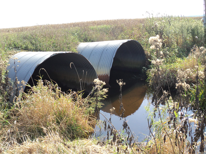
Inlet
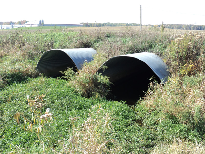
Outlet
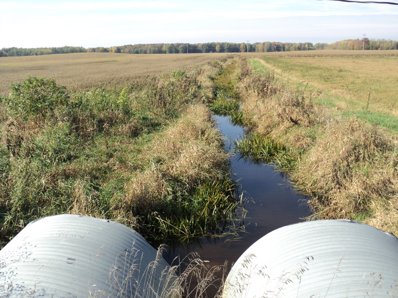
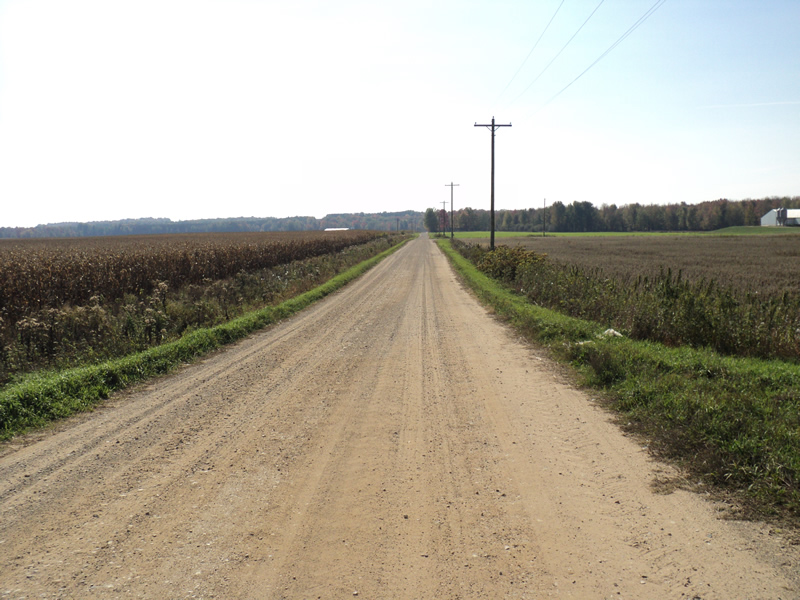
Upstream Conditions
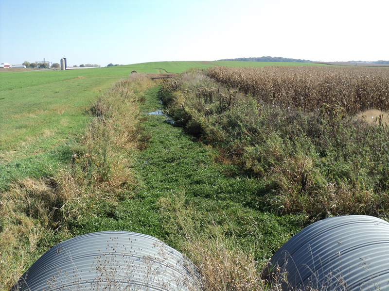
Downstream Conditions
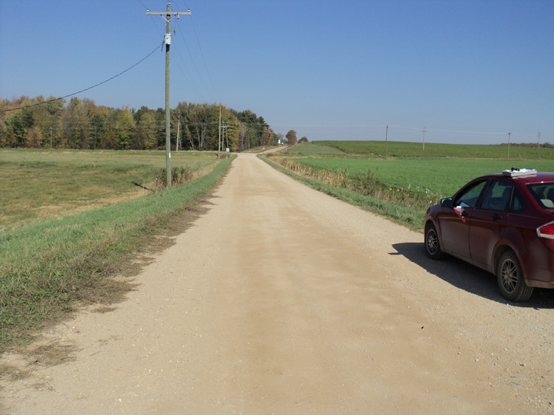
Road Approach - Left
Road Approach - Right
Crossing Information
Type of Crossing: culvert(s)
Number of Structures: 2
Structure Shape: Pipe Arch
Inlet Type: Projecting
Outlet Type: At Stream Grade
Structure Material: Metal
Structure Substrate: Sand
General Conditions: Good
Structure Interior: corrugated
Dimensions of Structure: Length 60 ft.
, Width 8.5 ft.
, Height 6 ft.
Structure Inlet
Water Depth: 1.2 ft.
Water Velocity*: 0.1 ft./sec.
Structure Outlet
Water Depth: 1.6 ft.
Water Velocity*: 0.1 ft./sec.
*Water Velocities were measured at the Surface
(with Meter)
Additional Comments
Large pig farms all around.
Stream Information
Stream Flow: Bankfull
Riffle Information
Water Depth: 0.9 ft.
Bankfull Width: 8.5 ft.
Wetted Width: 8.5 ft.
Water Velocity: 0.1 ft./sec.
(Measured with Float Test)
Dominant Substrate: Sand
Road Information
Gravel
County Road
Road Condition: Good
Road Width at Culvert: 19 ft.
Location of Low Point: Other
Runoff Path: Roadway
Embankments
Upstream
Fill Depth: 1.8 ft.
Slope: 1:1.5
Downstream
Fill Depth: 1.8 ft.
Slope: 1:1.5
Approaches
Left Approach
Length: 200 ft.
Slope: Less Than 1%
Vegetation: Heavy
LS Factor: 0.05
Erosion: 0.0523 tons/year
Right Approach
Length: 200 ft.
Slope: Less Than 1%
Vegetation: Heavy
LS Factor: 0.05
Erosion: 0.0523 tons/year
Erosion Information
Total Erosion at Crossing: 0.1047 tons/year
Summary Information
Fish Passability 0.9
These non-native species were observerd at this site: Spotted Knapweed
�