Road Stream Crossing Site PM_O023
Pere Marquette River Watershed, Freeman Creek
200th Ave
Colfax Twp,
Oceana County
Information collected by:
Site Location
GPS Coordinates: 43.7321480770289
, -86.0593454539776
T16N
R15W
Sec 36
Owned by Private
Total Erosion: 0.4698 tons/year
Severity: Minor
Year Inventoried: 2014
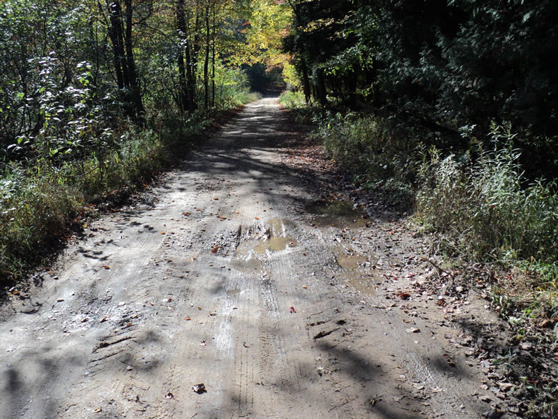
Inlet
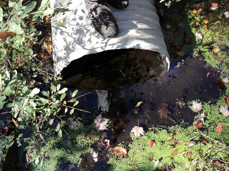
Outlet
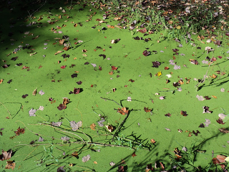
Upstream Conditions
Downstream Conditions
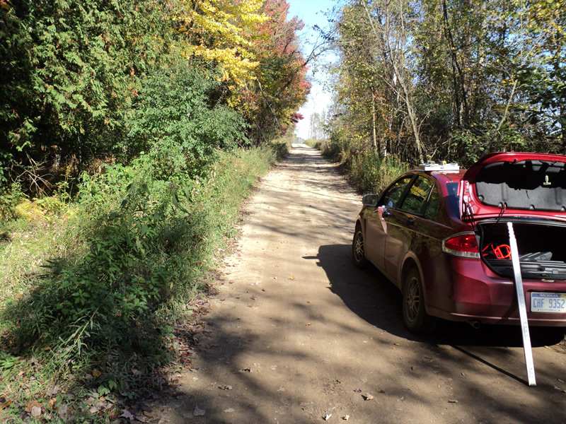
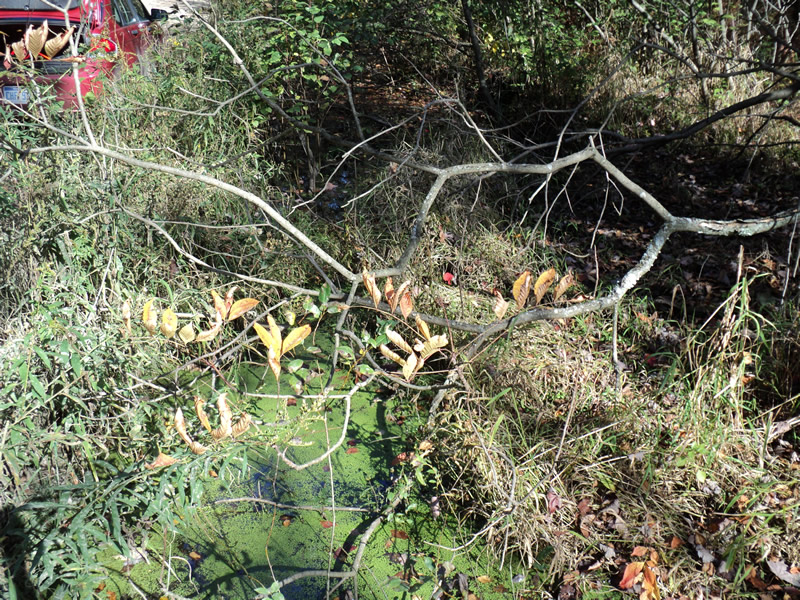
Road Approach - Left
Road Approach - Right
Crossing Information
Type of Crossing: culvert(s)
Number of Structures: 1
Structure Shape: Round
Inlet Type: Projecting
Outlet Type: At Stream Grade
Structure Material: Metal
Structure Substrate: Mixture
General Conditions: Poor
Structure Interior: corrugated
Dimensions of Structure: Length 30 ft.
, Width 2.5 ft.
, Height 2.5 ft.
Structure Inlet
Water Depth: 3 ft.
Embedded Depth of Structure: 2 ft.
Water Velocity*: 0 ft./sec.
Structure Outlet
Water Depth: 0.3 ft.
Embedded Depth of Structure: 1.8 ft.
Water Velocity*: 0 ft./sec.
*Water Velocities were measured 1 ft. below Surface
(with Meter)
Additional Comments
Connects marshes. Large pig farms in surrounding area.
Stream Information
Stream Flow: Bankfull
Riffle Information
Water Depth: 0.4 ft.
Bankfull Width: 8 ft.
Wetted Width: 8 ft.
Water Velocity: 0 ft./sec.
(Measured with Meter)
Dominant Substrate: Organics
Road Information
Sand
County Road
(Seasonal)
Road Condition: Poor
Road Width at Culvert: 14 ft.
Location of Low Point: At Stream
Runoff Path: Roadway
Embankments
Upstream
Fill Depth: 0.3 ft.
Slope: More than 1:2
Downstream
Fill Depth: 0.2 ft.
Slope: More than 1:2
Approaches
Left Approach
Length: 180 ft.
Slope: 1% to 5%
Vegetation: Heavy
LS Factor: 0.418
Erosion: 0.2902 tons/year
Right Approach
Length: 120 ft.
Slope: 1% to 5%
Vegetation: Heavy
LS Factor: 0.388
Erosion: 0.1796 tons/year
Erosion Information
Total Erosion at Crossing: 0.4698 tons/year
Extent of Erosion: Moderate
Summary Information
Erosion is an area of concern for this site.
�